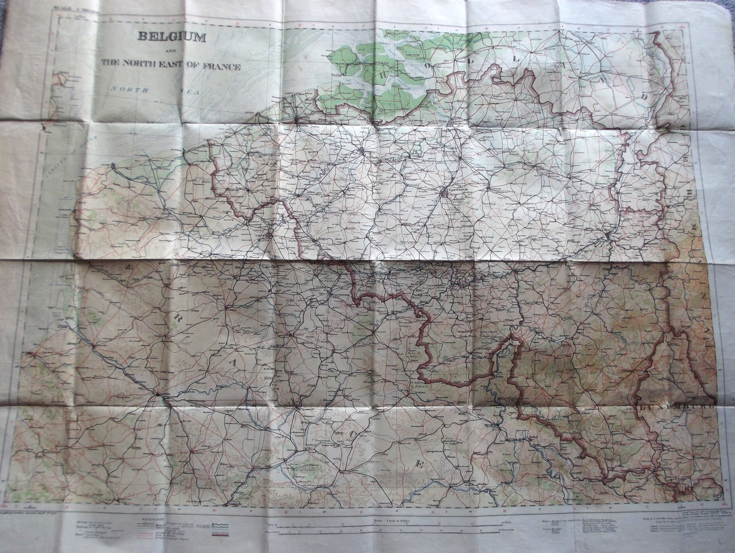
Description
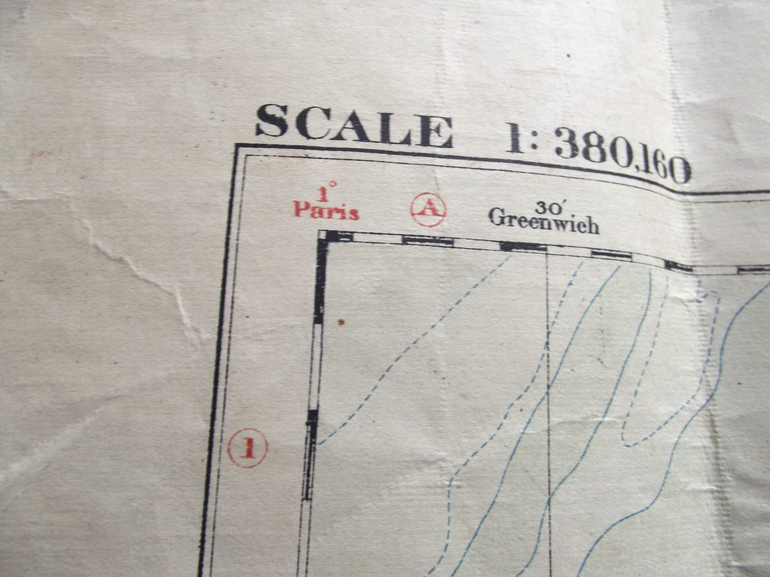
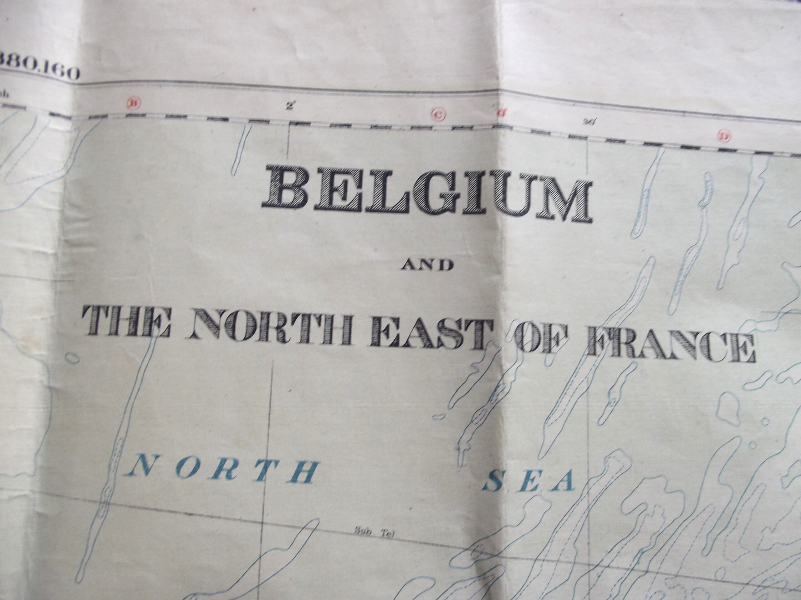
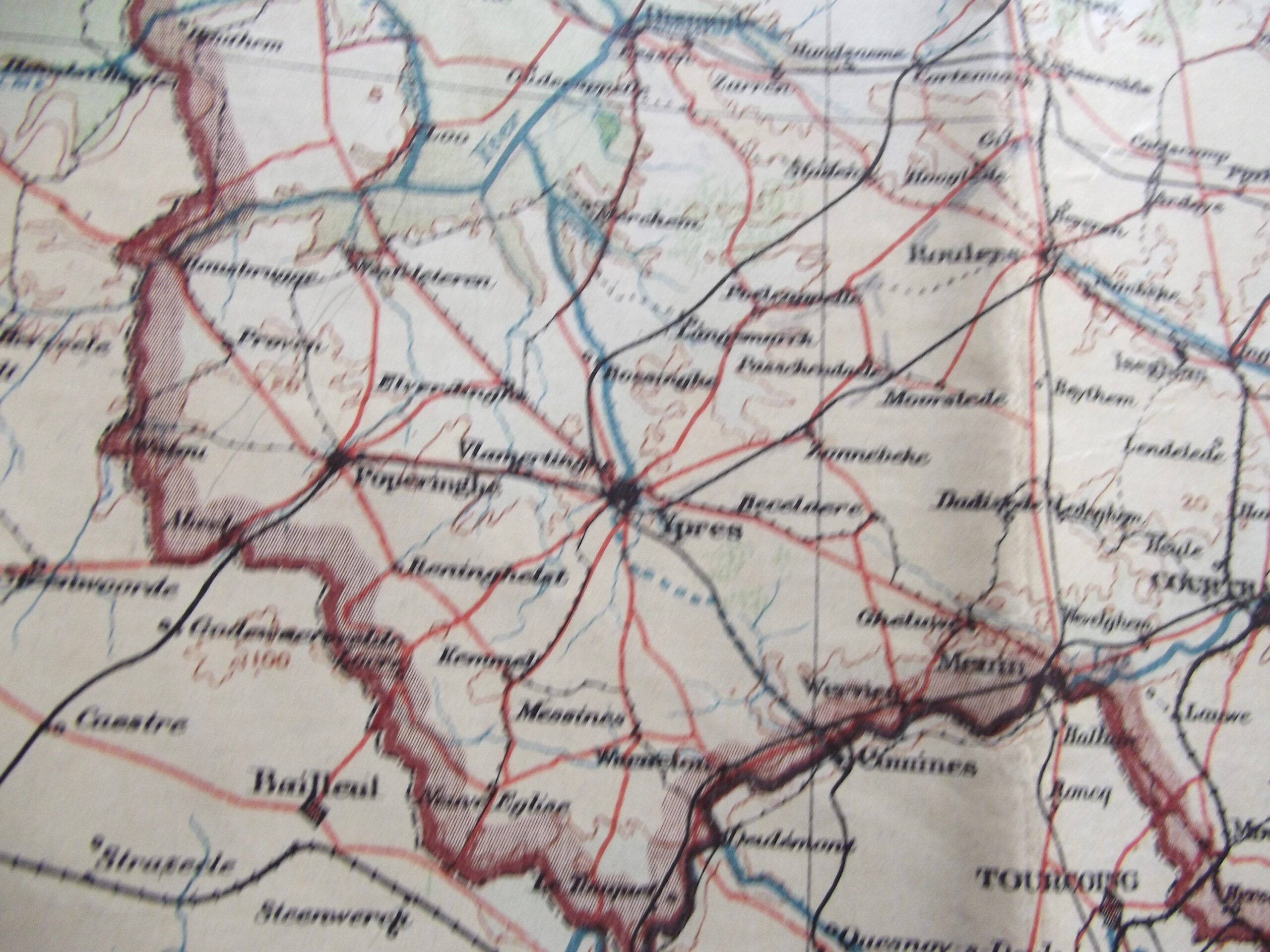
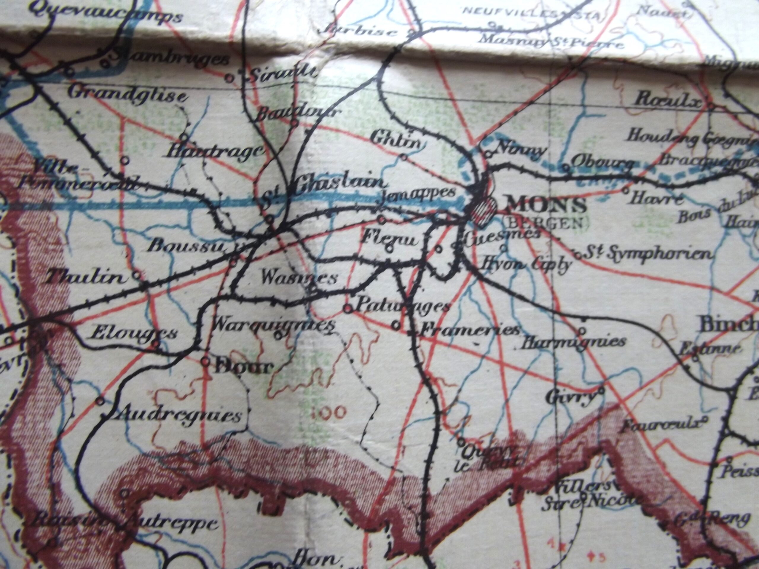
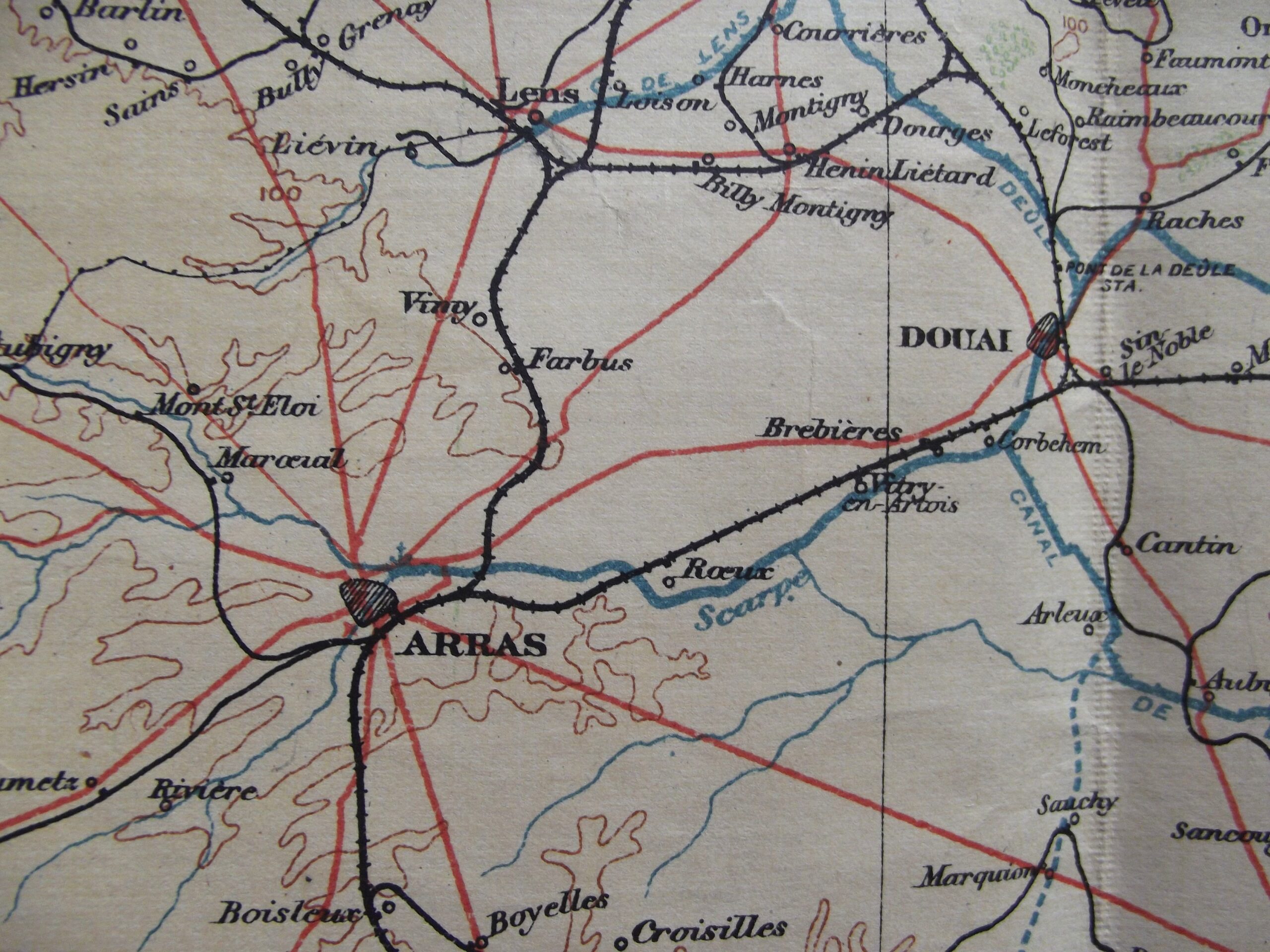
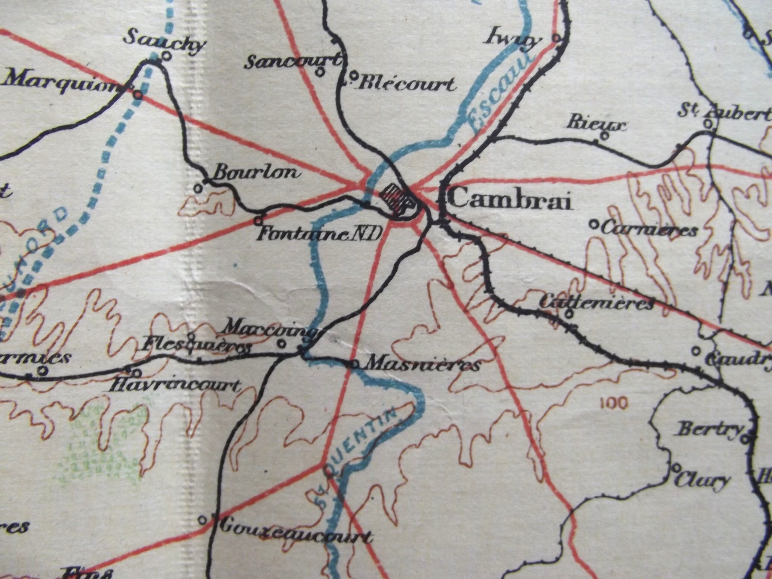
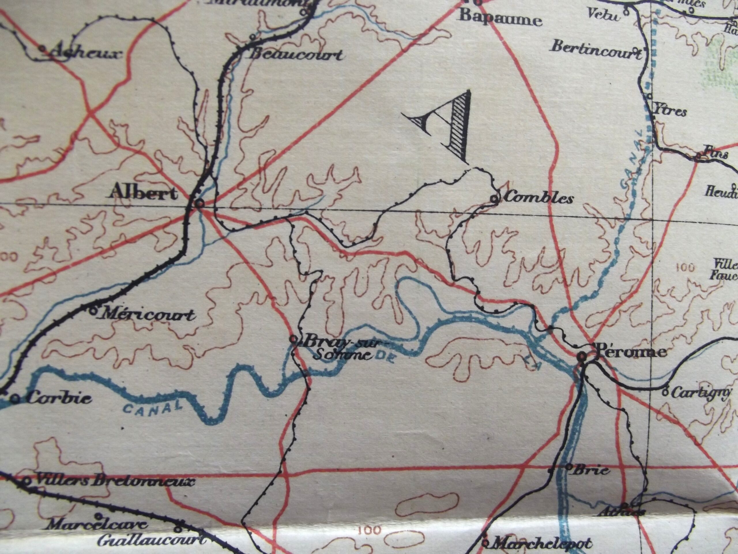
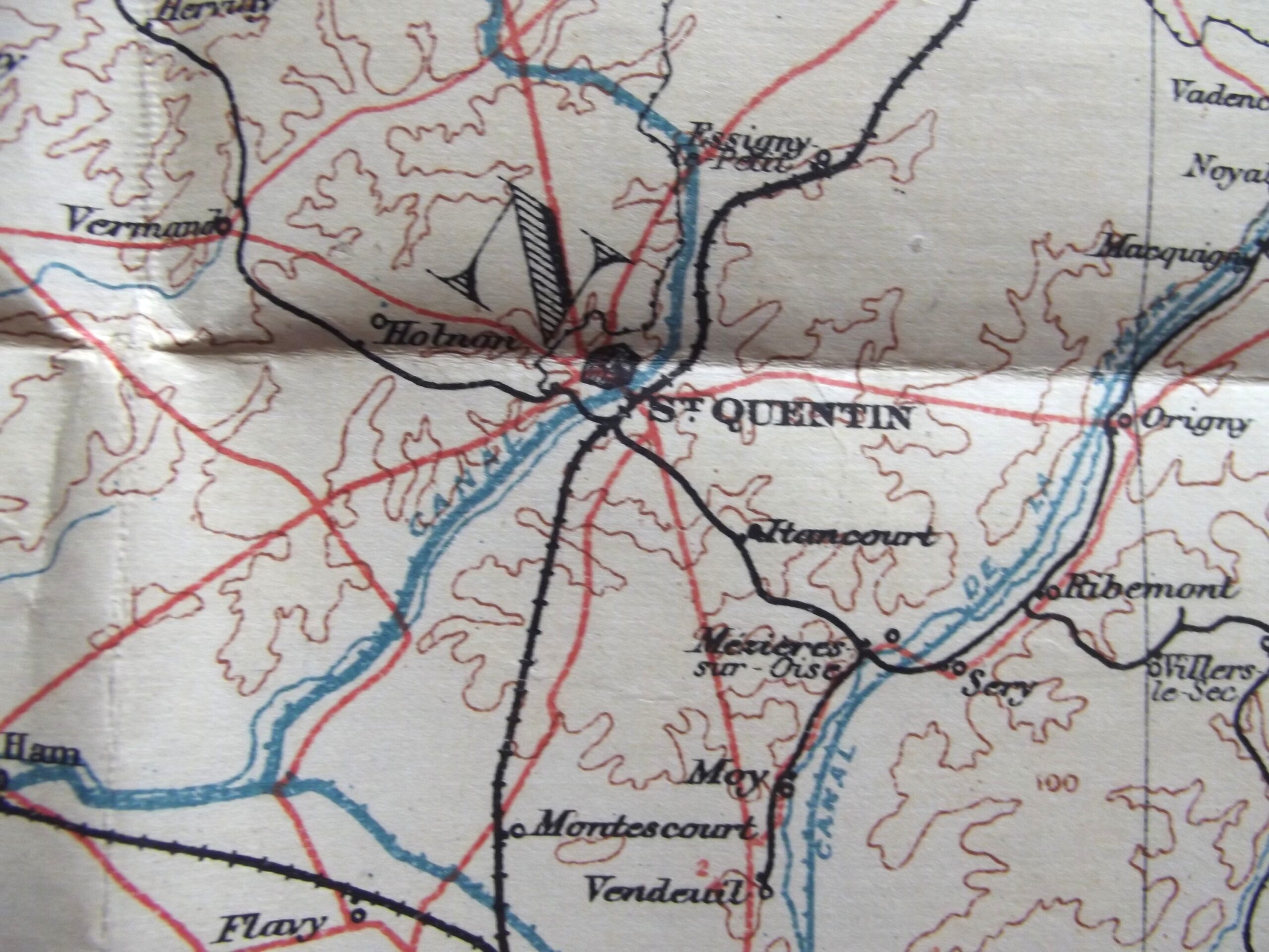
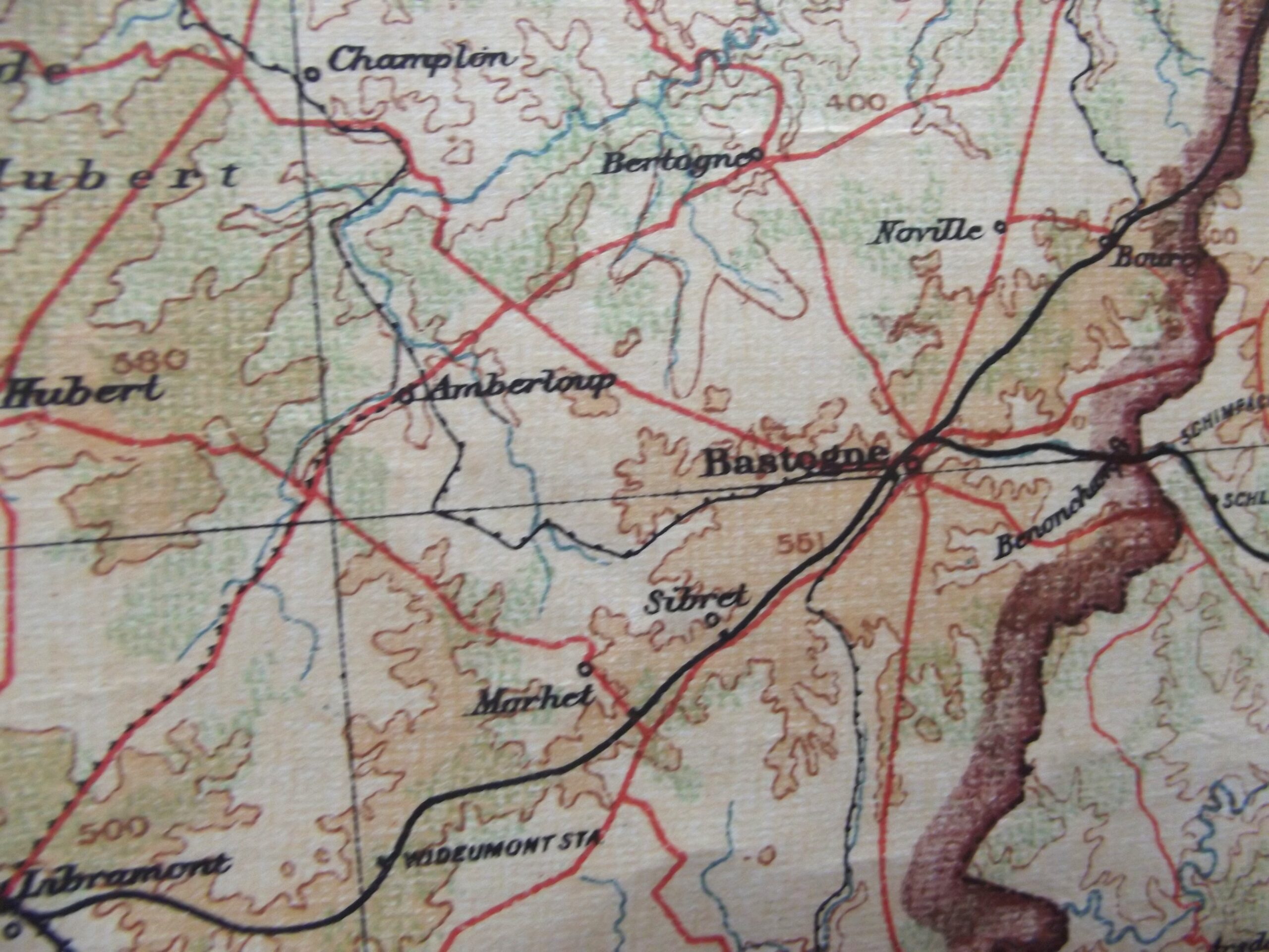
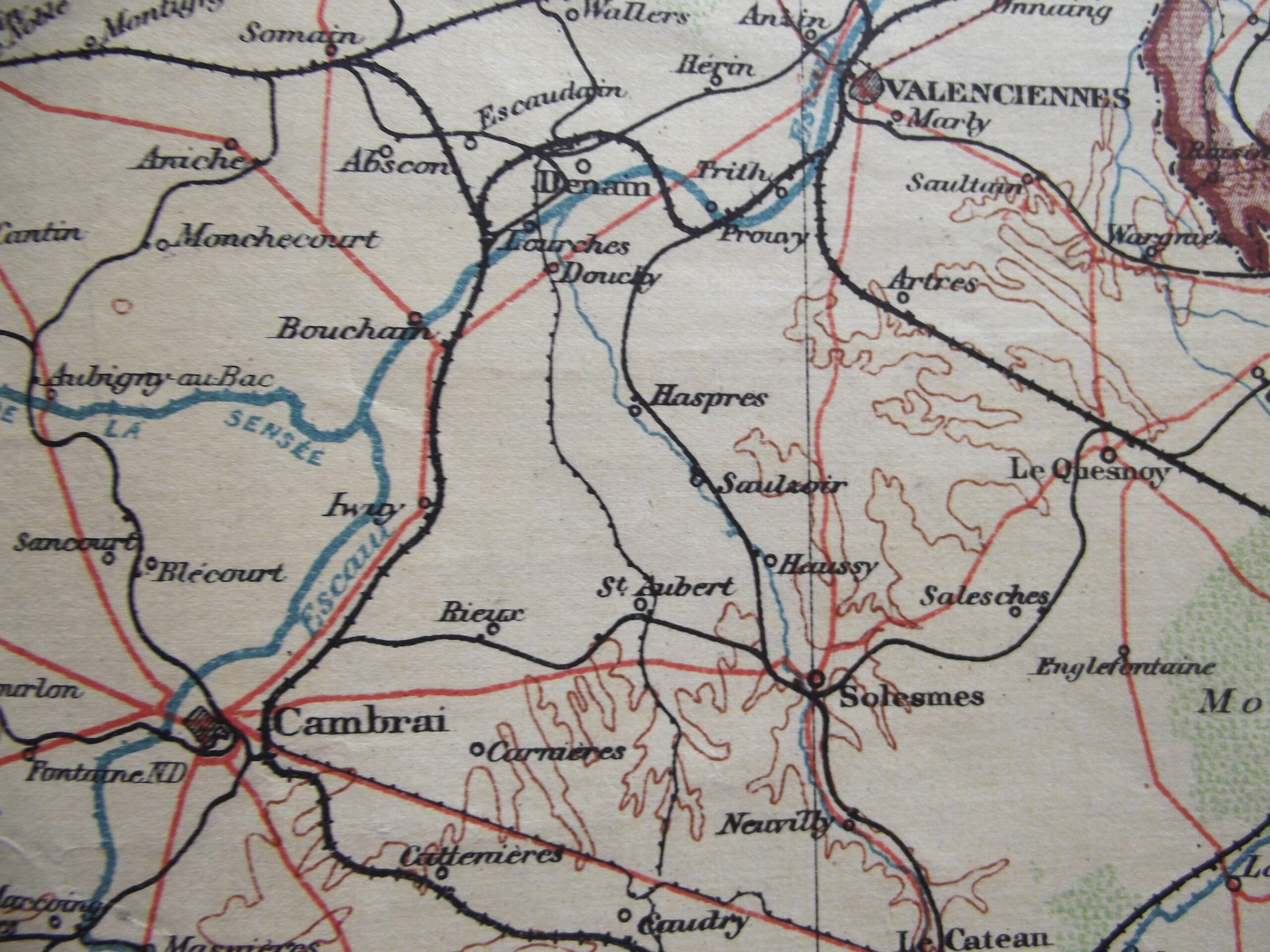
WW1 Large cloth backed map of Belgium and North West France in good used condition. The map is dated 1910 with the scale of the map 1 : 380,160.
The map shows many places that would become very well known from 1914 onwards.
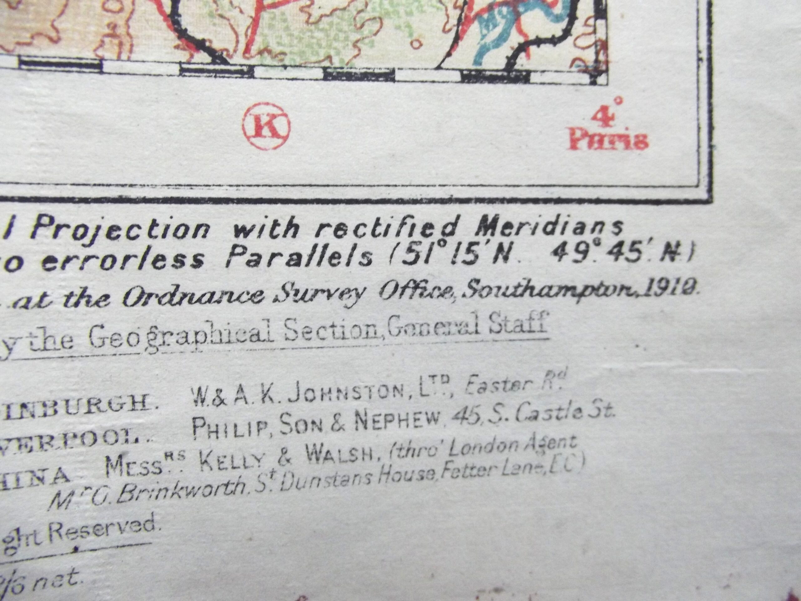
Please see the photographs for further details.


