

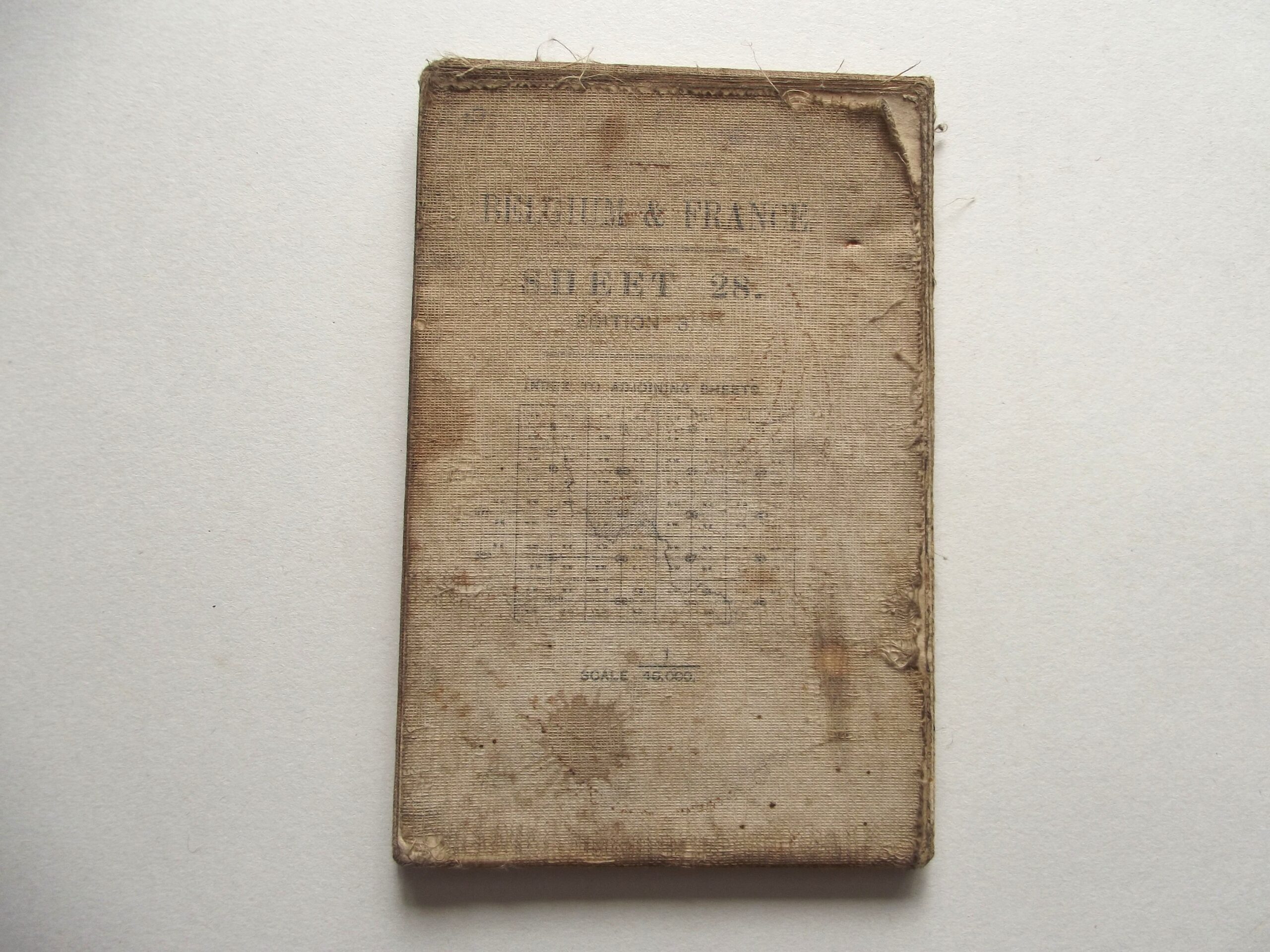
WW1 CLOTH BACKED MAP OF BELGIUM & FRANCE SHEET 28 EDITION 3 DATED 1916


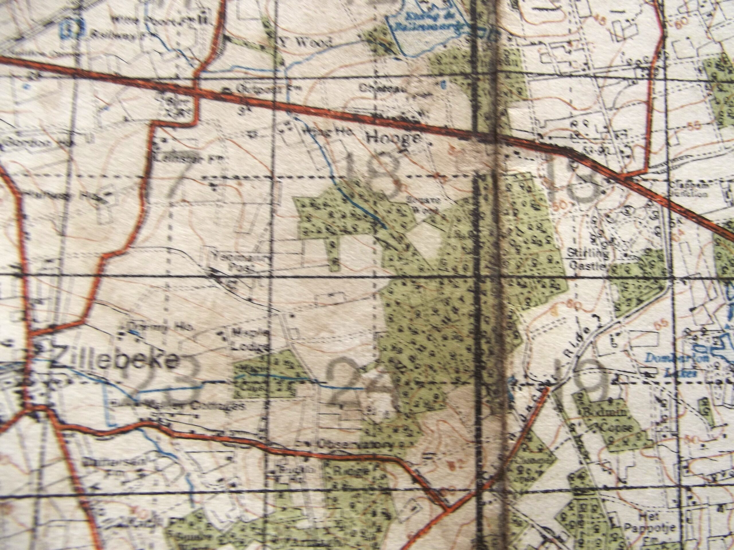
WW1 CLOTH BACKED MAP OF BELGIUM & FRANCE SHEET 28 EDITION 3 DATED 1916
£35.00
Description
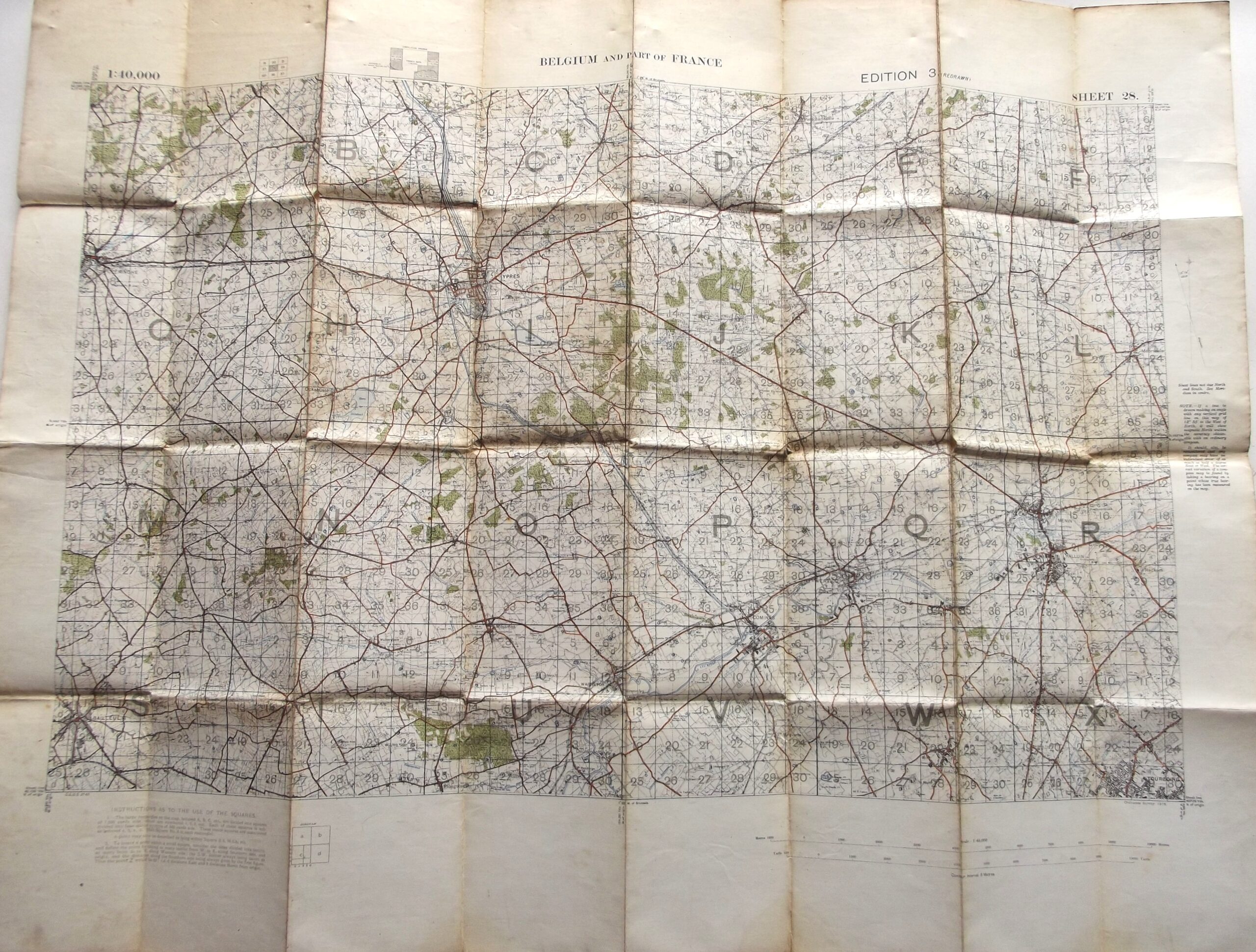
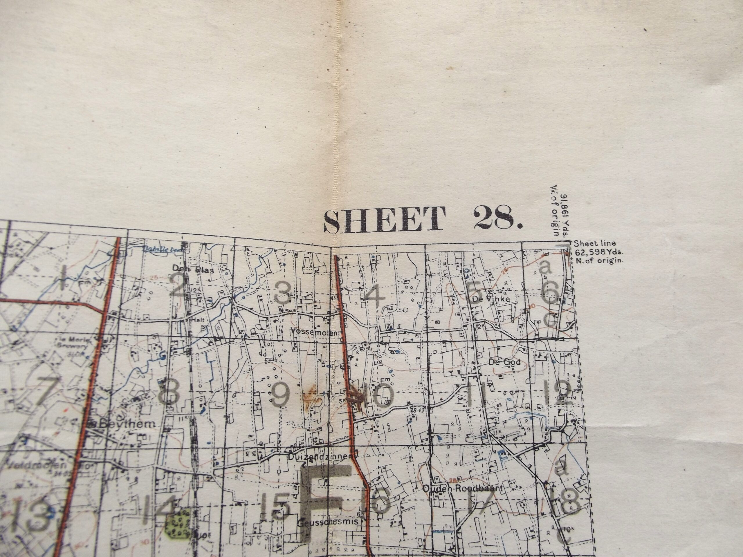
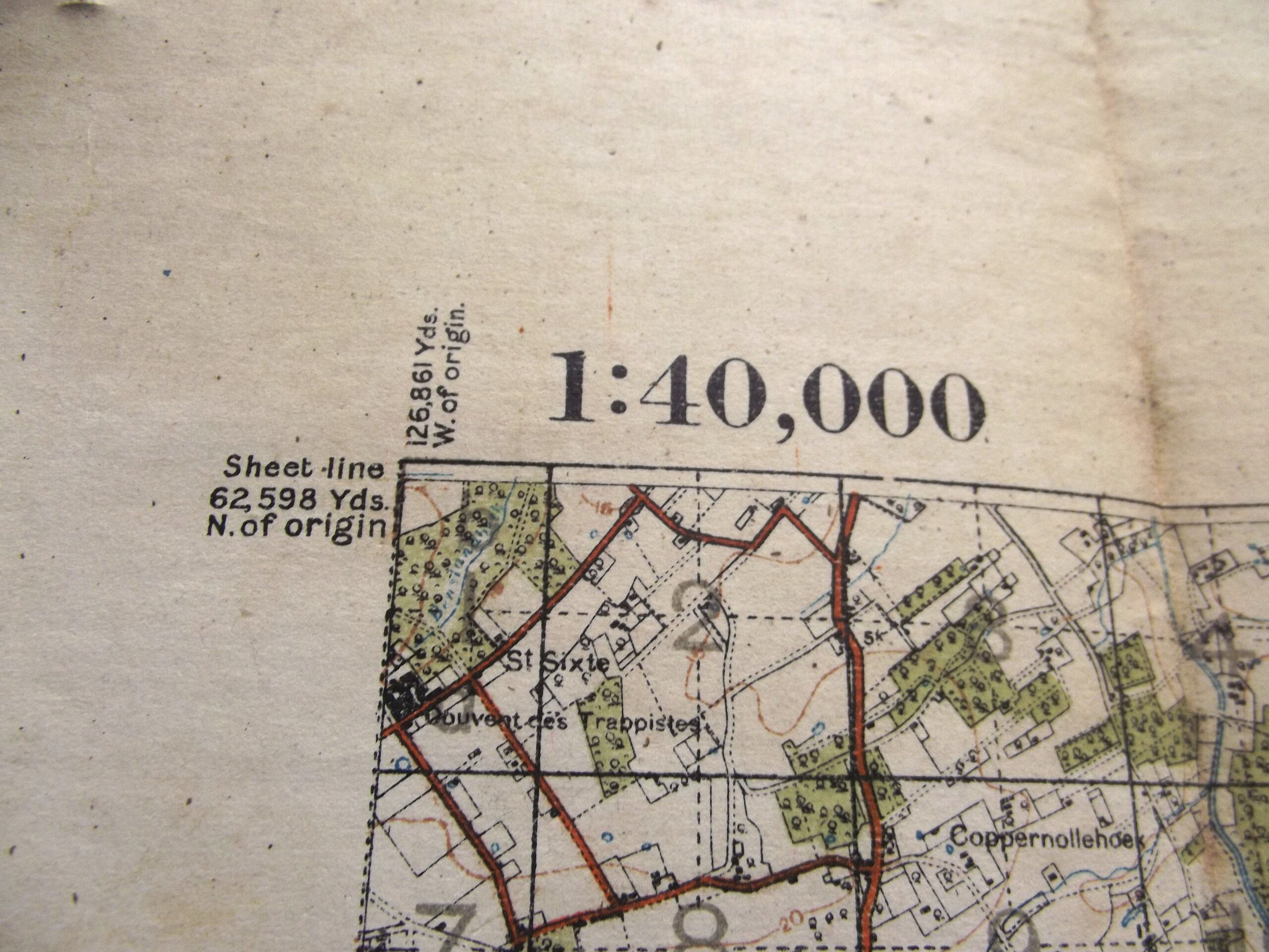
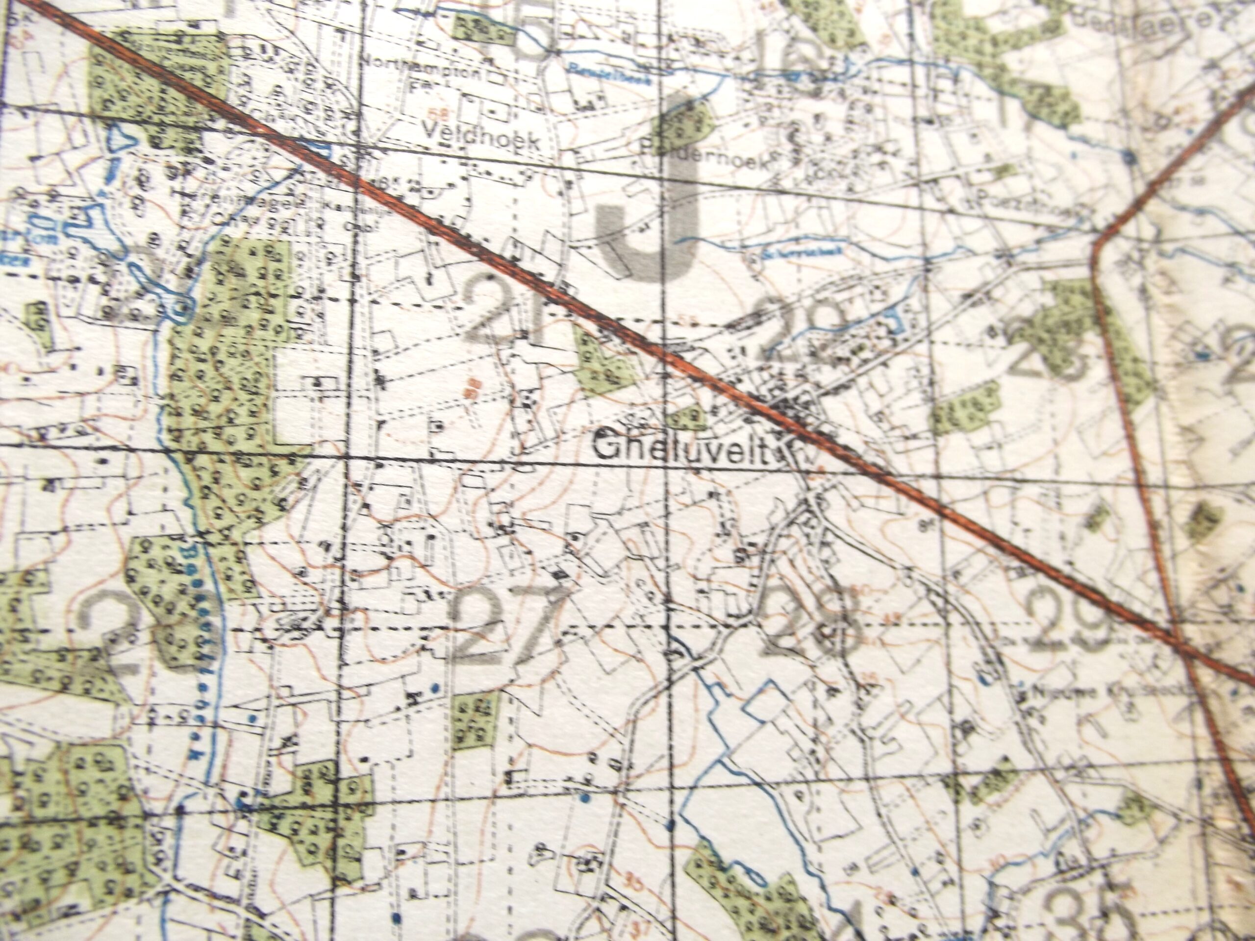
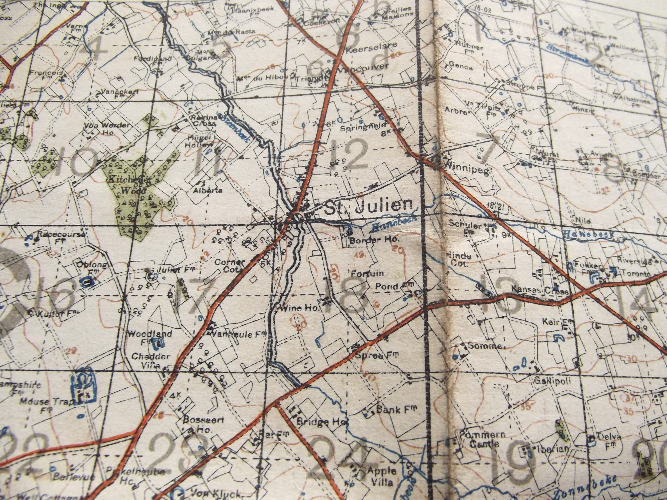
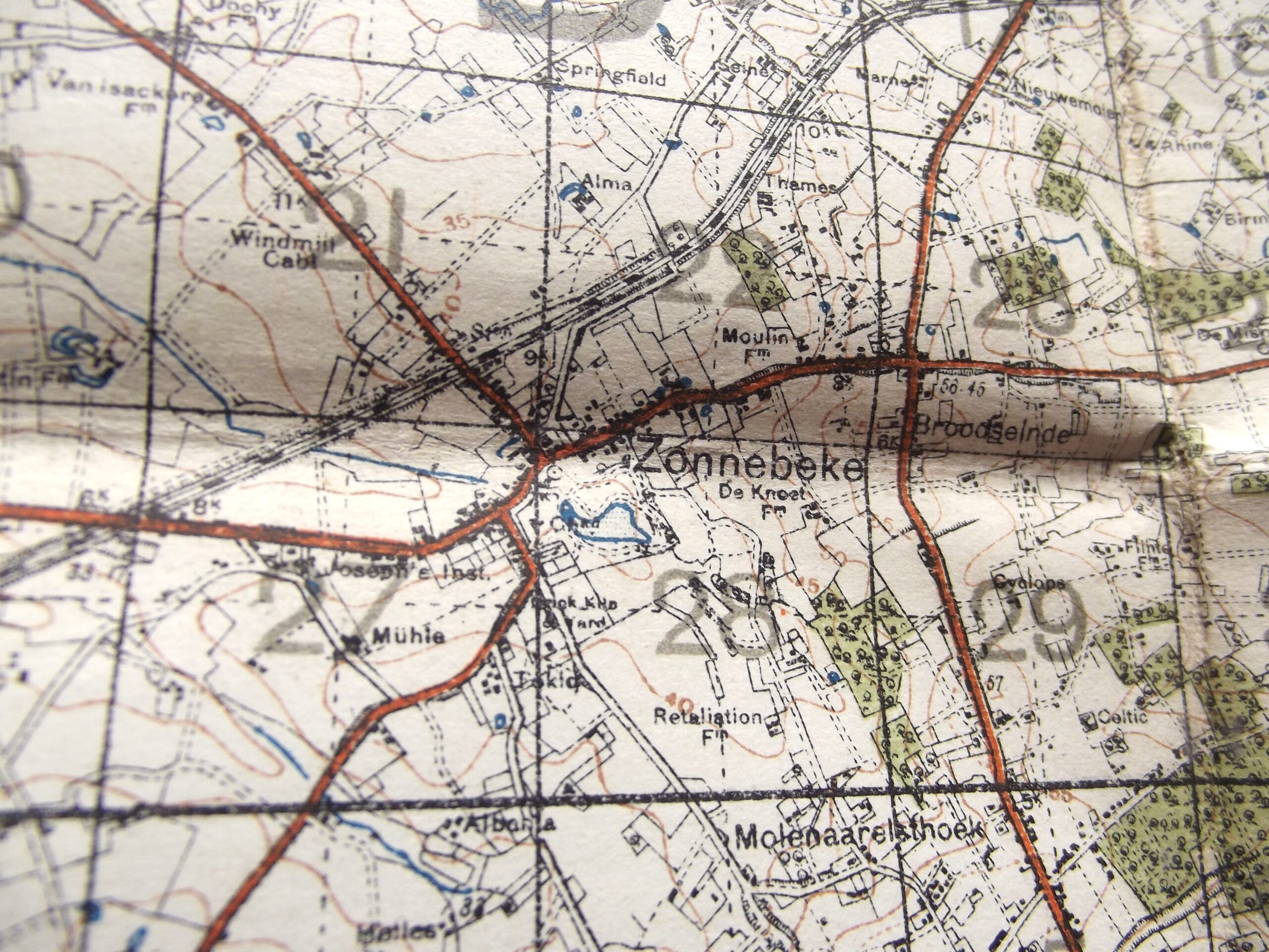
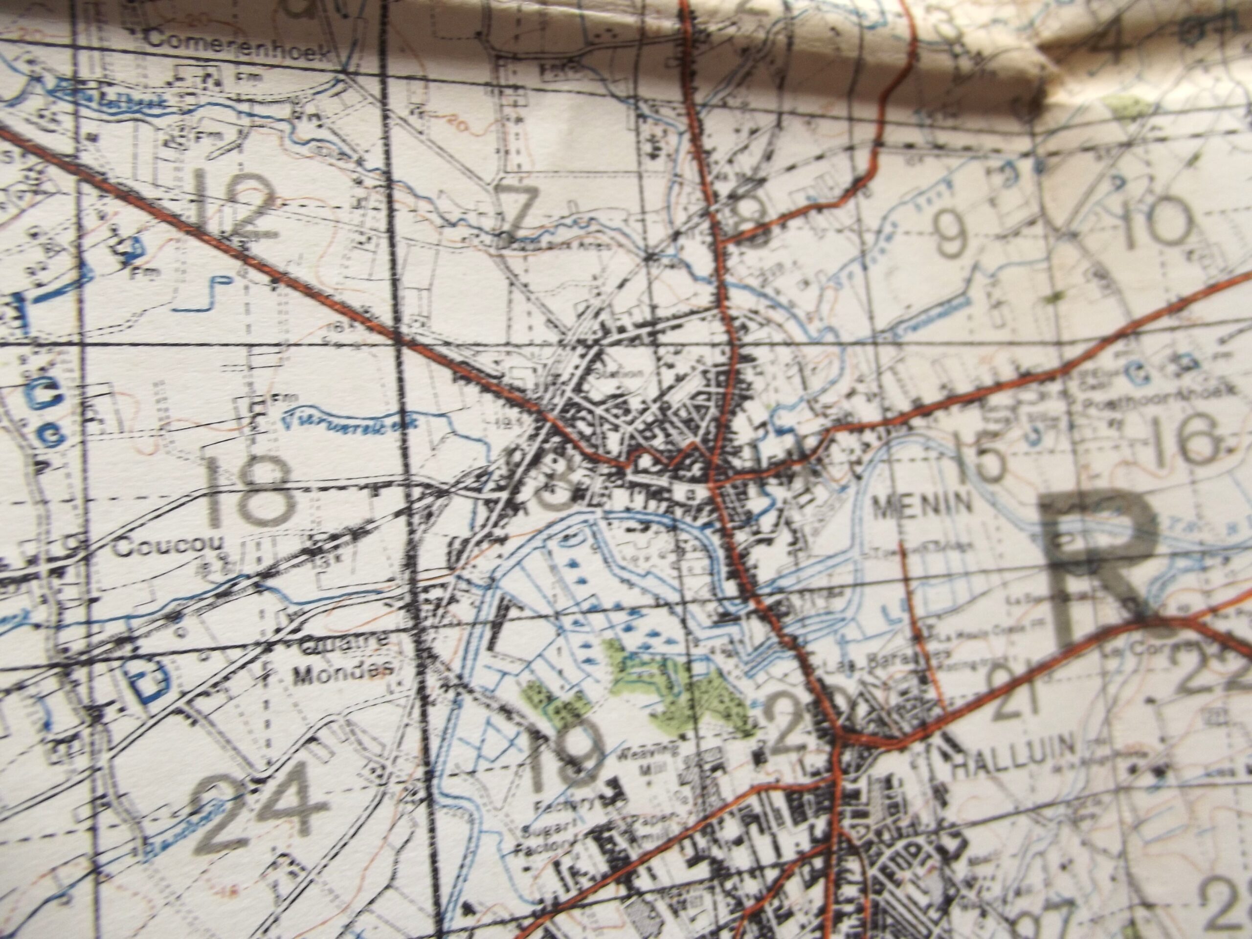
WW1 Cloth backed map of Belgium and France sheet 28 3rd edition in good used condition. The map is dated 1916 with the scale of the map is 1 :40,000.
The map shows Ypres and Passchendaele, Zonnebeke, Hooge, and Messines. All famous names from Flanders.
Please see the photographs for further details.
Additional information
| Weight | 0.2 kg |
|---|
Related products
-

Medals & Awards, WW1 British & Allies WW1 BRITISH VICTORY MEDAL ARMY SERVICE CORPS
WW1 British victory medal Army service corps in good used condition. The medal is named to DVR A Jones A.S.C service number 14-161336 the medal has a part original ribbon, the medal has consistent age related colour. Please see the photographs for further details, free postage for UK customers. -

Misc, WW1 British & Allies WW1 OFFICERS PRIVATE PURCHASE SERVICE DRESS TROUSERS
WW1 Officers private purchase service dress trousers in good used condition. The trousers show signs of use and they have a couple of moth nips but the overall condition is very good. The service trousers are the type with a turn up so would have been worn with officers shoes the material shows all the classic features of ww1 uniform with a button fly and -

De-activated gun Accessories, Misc, WW1 British & Allies WW1 SMLE OIL BOTTLE MAKER MARKED J.J.B
WW1 SMLE oil bottle in good used condition. The oil bottle is maker marked for J.J.B J & J Bent company Birmingham with the war department arrow and an inspection stamp showing, the oil bottle has good age related colour and is complete. Please see the photographs for further details, free postage for UK customers. -

Misc, WW1 British & Allies WW1 PERIOD CELLULOID MATCH BOX COVER BOURNEMOUTH HOSPITAL’S
WW1 Celluloid match box cover for Bournemouth local hospital's in good used condition. The cover shows age related wear and tear and has the badge of a red cross showing on the front with the word Christmas offering to local hospital's, the detail can be seen in the photographs. The cover is marked British made with MATCHES on the edge. Please see the photographs for