
WW2 R.A.F SILK ESCAPE & EVASION MAP NORMANDY C1943
WW2 R.A.F SILK ESCAPE & EVASION MAP NORMANDY C1943
£175.00
Description
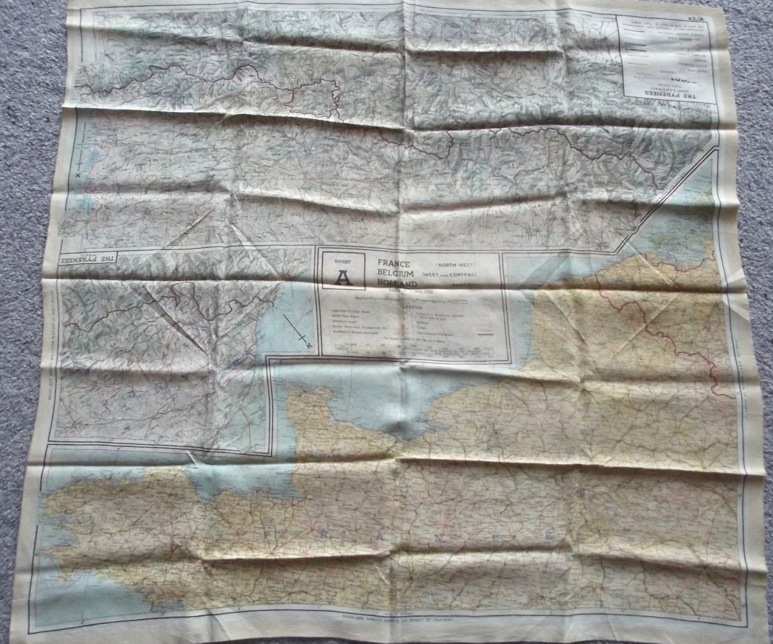
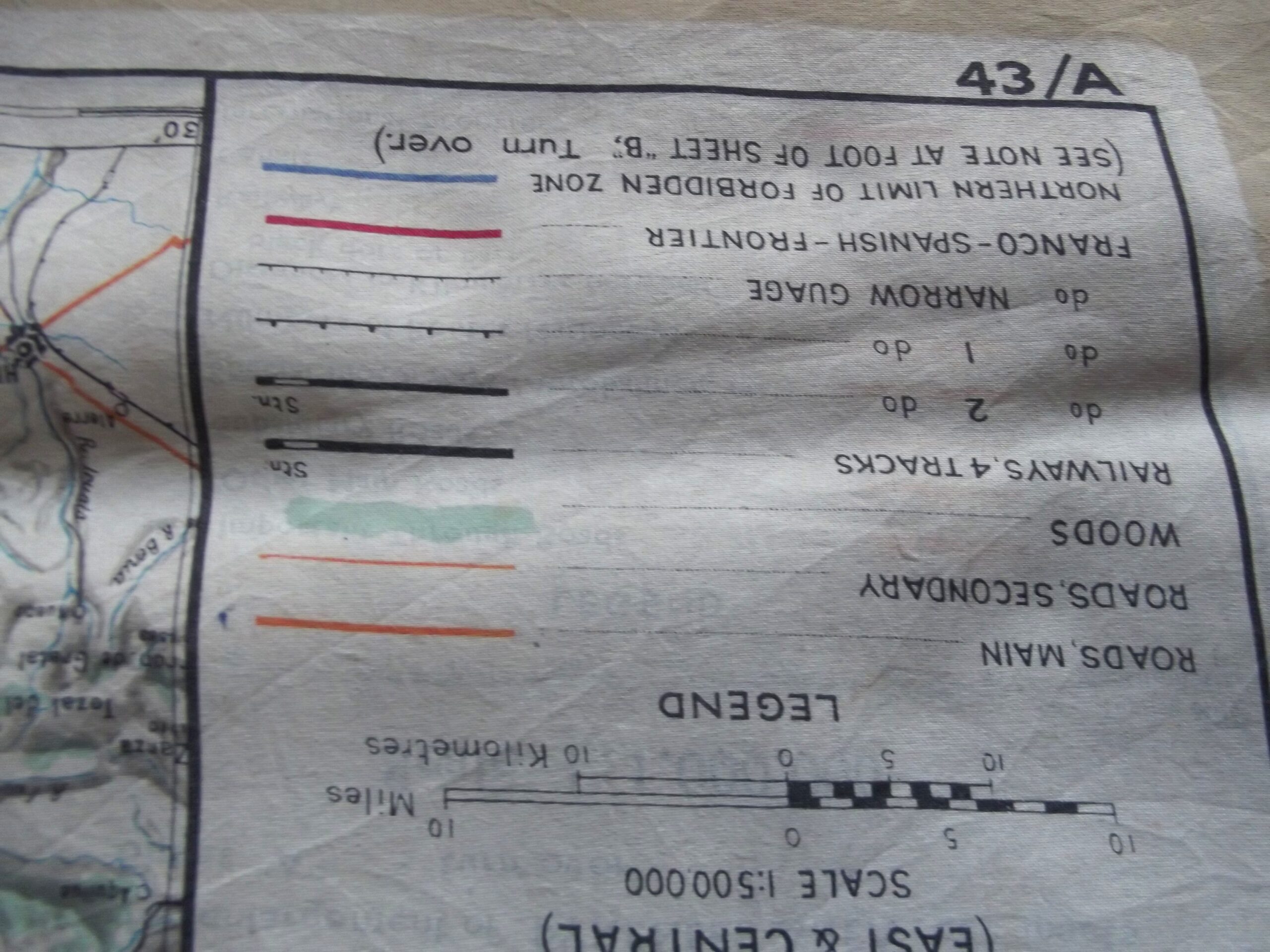
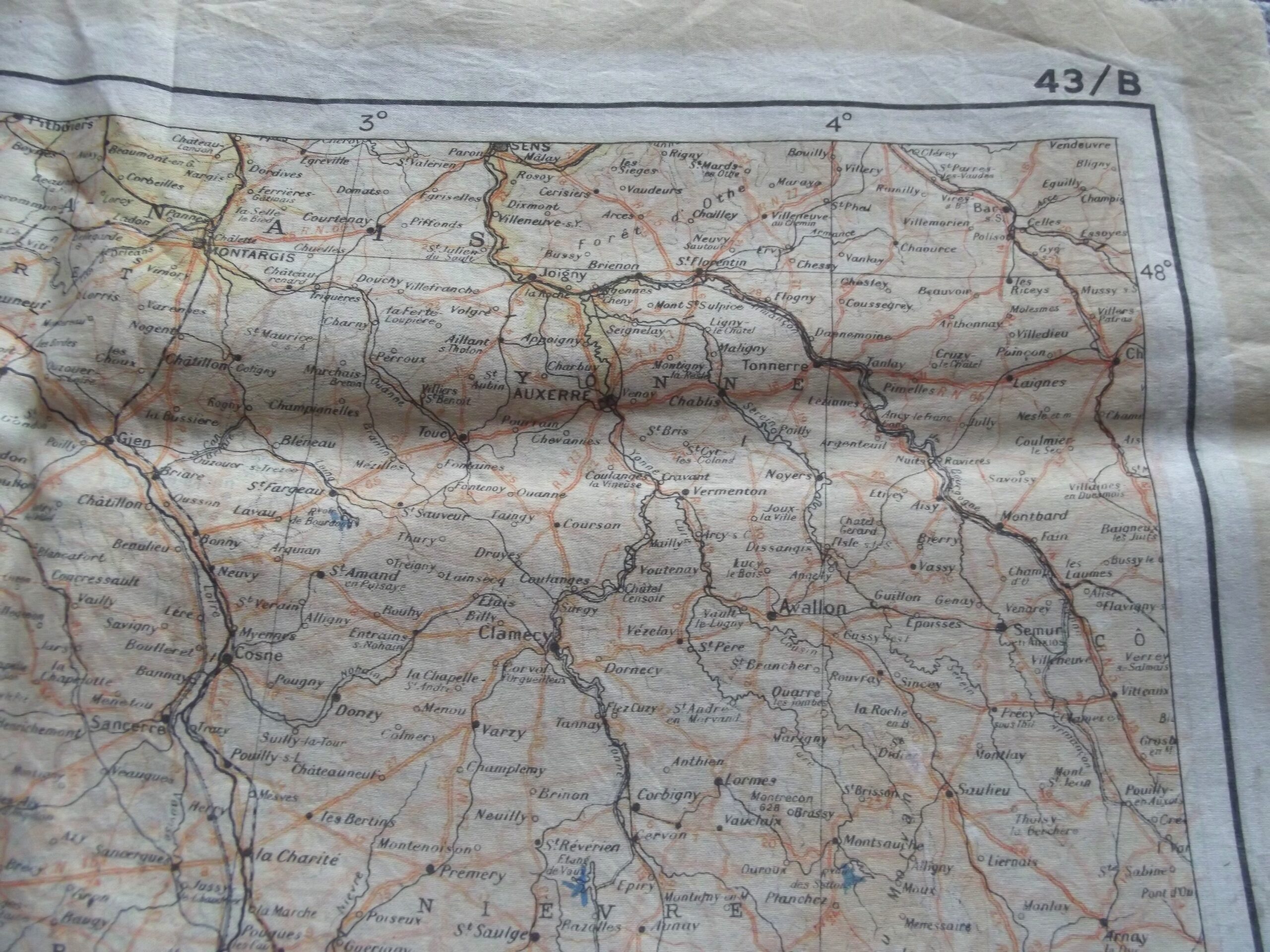
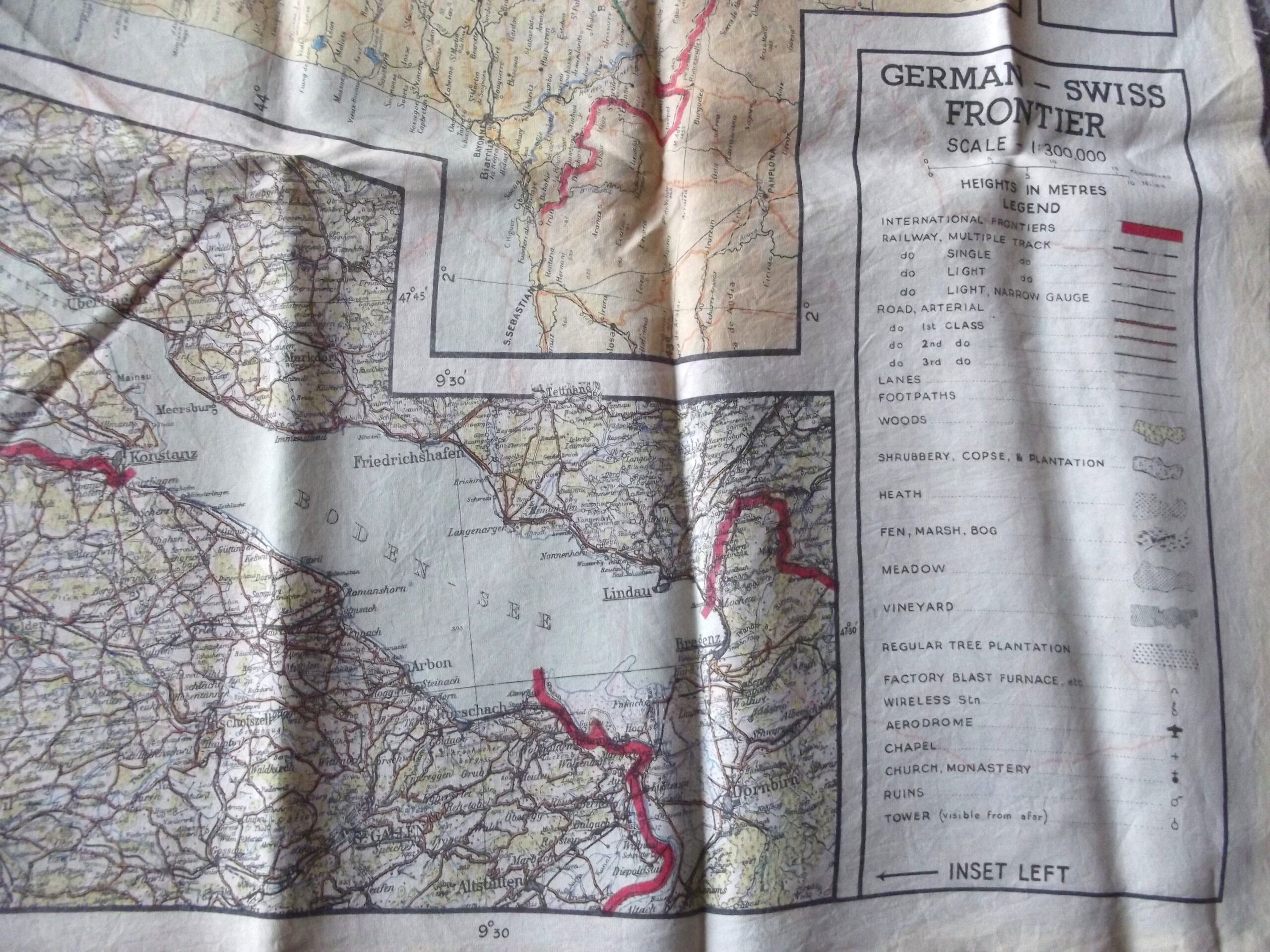
WW2 R.A.F silk escape and evasion map in good used condition. The map is marked 43A so one of the series of 43 maps produced for airmen, S.O.E and special forces c-1943.
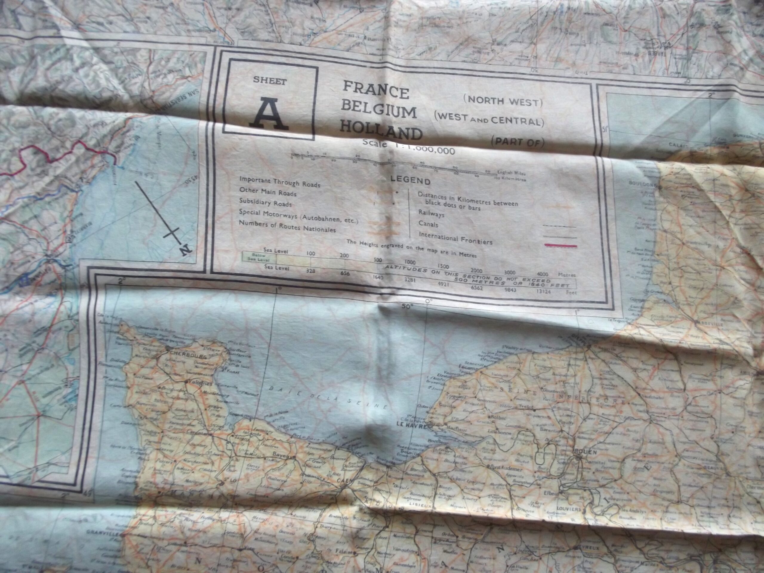
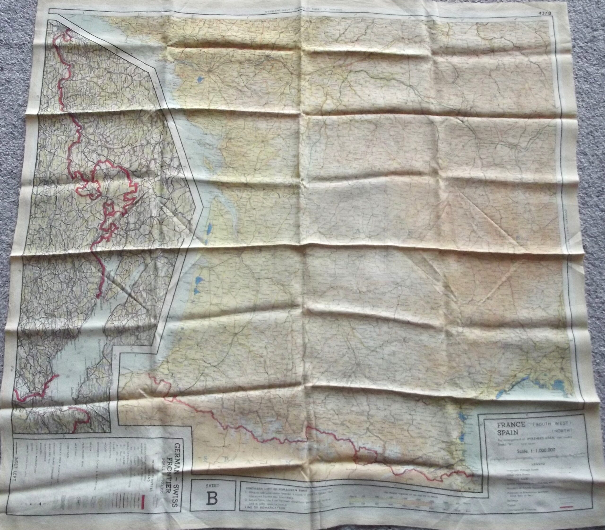
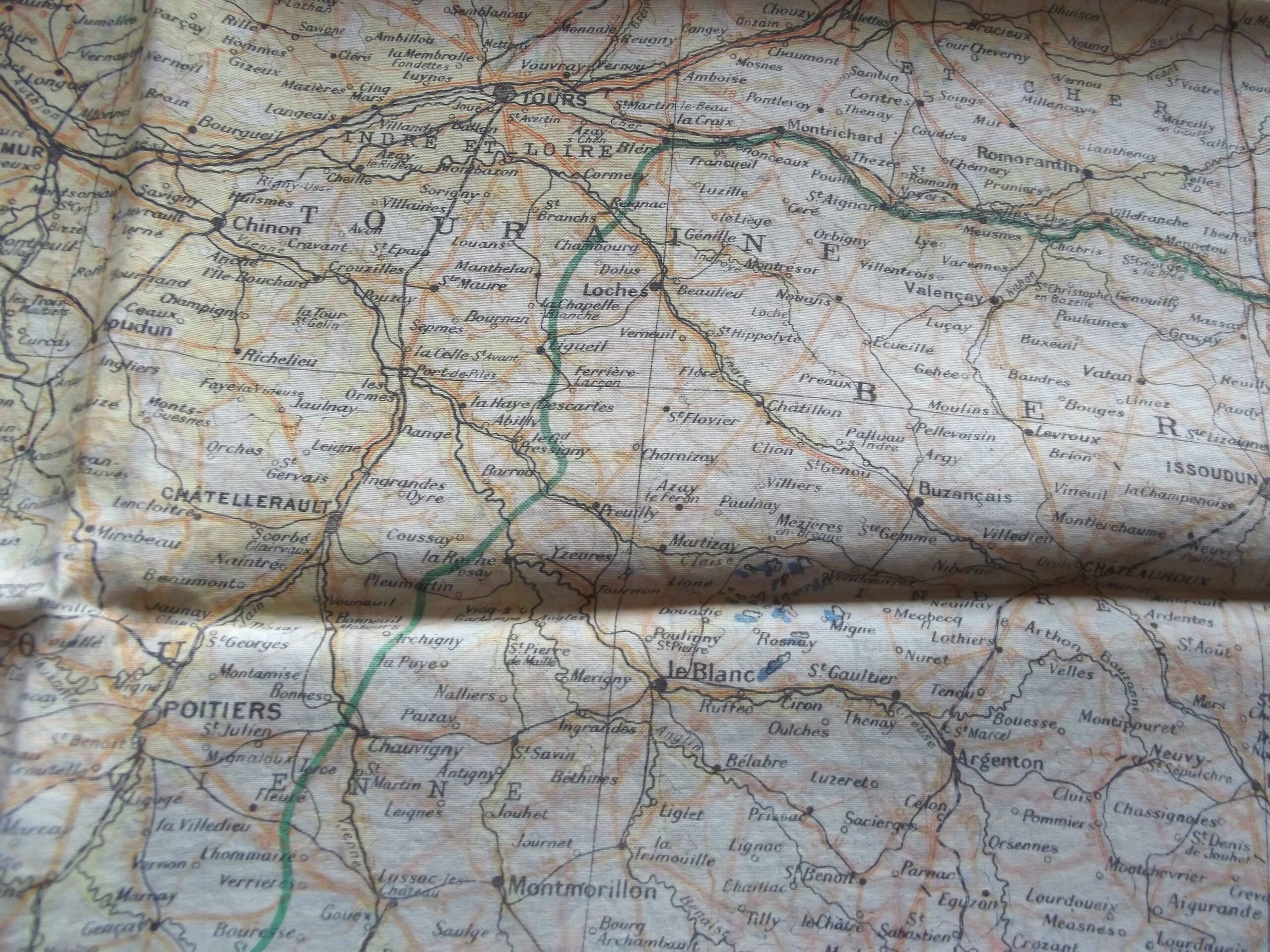
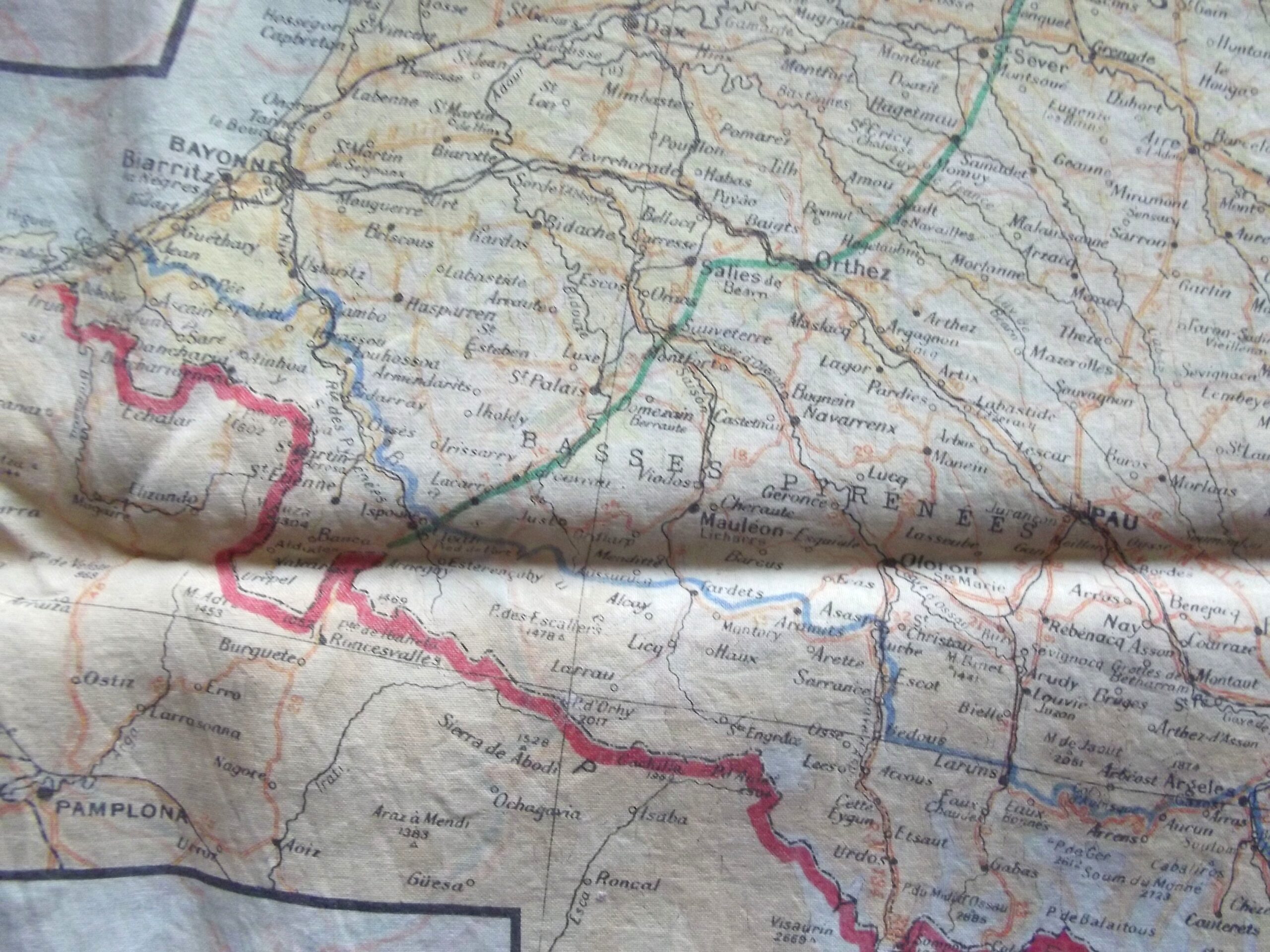
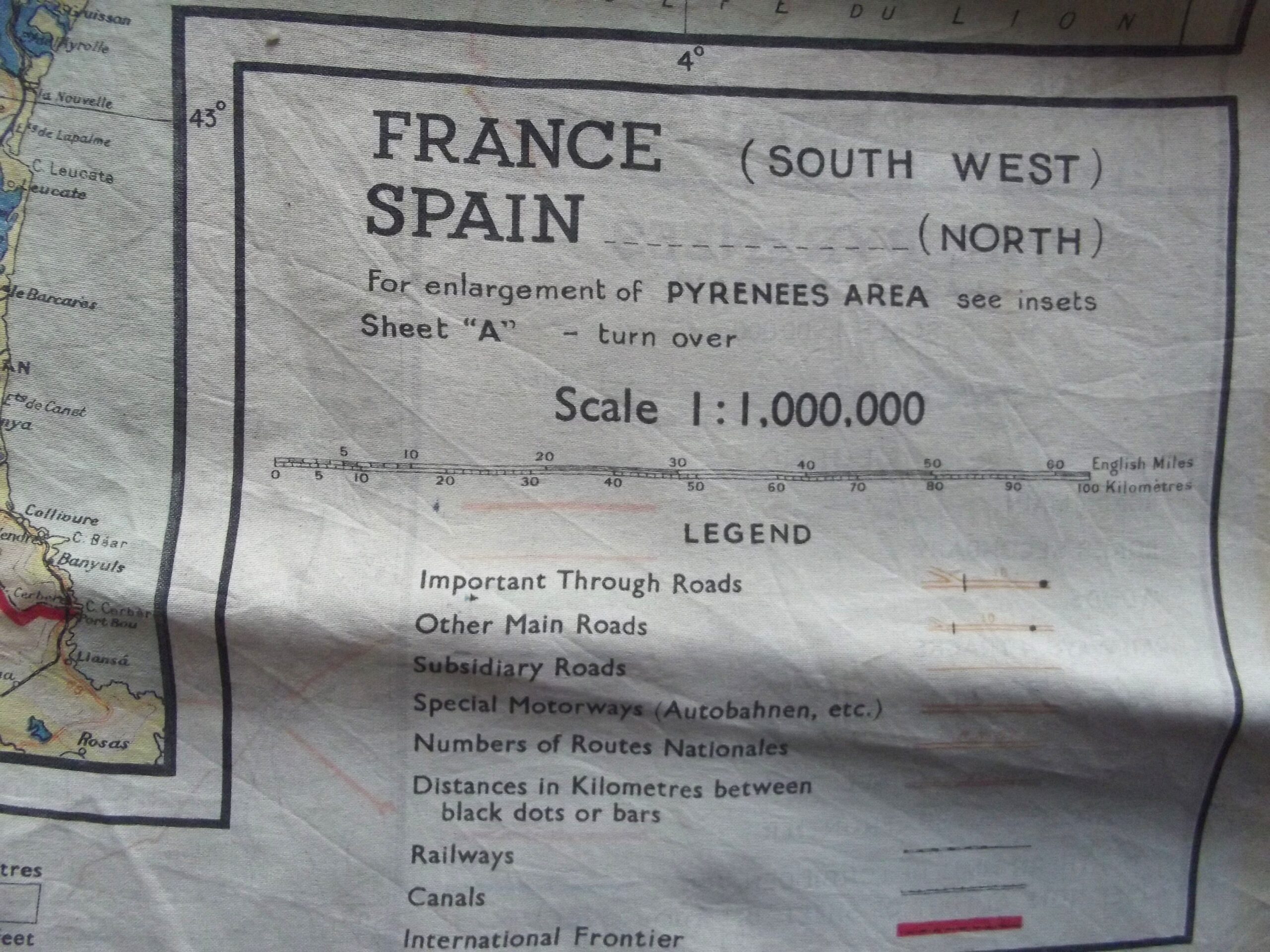
It is rayon printed onto silk and covers France, Belgium, Holland and the Spanish border . The map also shows Northern France and the Normandy landing beaches.
The escape route is clearly shown from France to Spain and the , it is marked 43A and 43B.
Its scale is 1:1,000,000 and height is in metres.
The map shows signs of use with age showing.
Please see the photographs for further condition details.
Additional information
| Weight | 0.6 kg |
|---|
Related products
-

Field Equipment, WW2 British & Allies BRITISH ARMY 44 PTN JUNGLE WATER FILTER AF CODED DATED 1945
British army 44 ptn jungle water filter in age related condition. The water filter is maker marked Baynell Ltd with the date 1945 and the war department arrow it also has a AF code showing. The water filter has age related wear caused through storage it has an instruction label still in place which can be seen in the photographs. Please see the photographs for -

Misc, WW2 British & Allies WW2 BRITISH ARMY LARGE SHELL DRESSING DATED 1940
WW2 British army large shell dressing in good un-used condition. The shell dressing is marked for the war office and army medical department it is maker marked but due to age related wear it has been blocked out the maker is London based with a date of July 1940, the shell dressing is complete with all its contents in place, it shows age related wear. -

Field Equipment, WW2 British & Allies WW2 BRITISH ARMY FIRST AID FIELD DRESSING DATED OCT/DEC 1943
WW2 British army first aid field dressing in good condition The field dressing is dated Oct/Dec 1943 and is in un-used condition with the contents still in place. The field dressing is maker marked for T.J Smith & Nephew Ltd Hull, please see the photographs for further details. Free postage for UK customers. -

Field Equipment, WW2 British & Allies WW2 MILITARY FINGERLESS MITTENS DATED 1944 SIZE 7
WW2 British military fingerless mittens in un-used condition dated 1944. The mittens are maker marked for A.C with the war department arrow showing along side the date of 1944 and the size 7 clearly showing in both mittens. Please see the photographs for further details,free postage for UK customers.