

Description
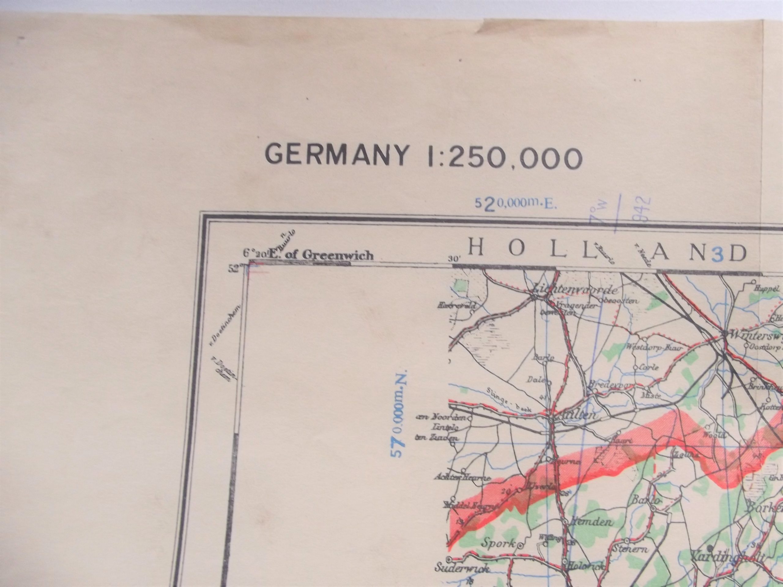
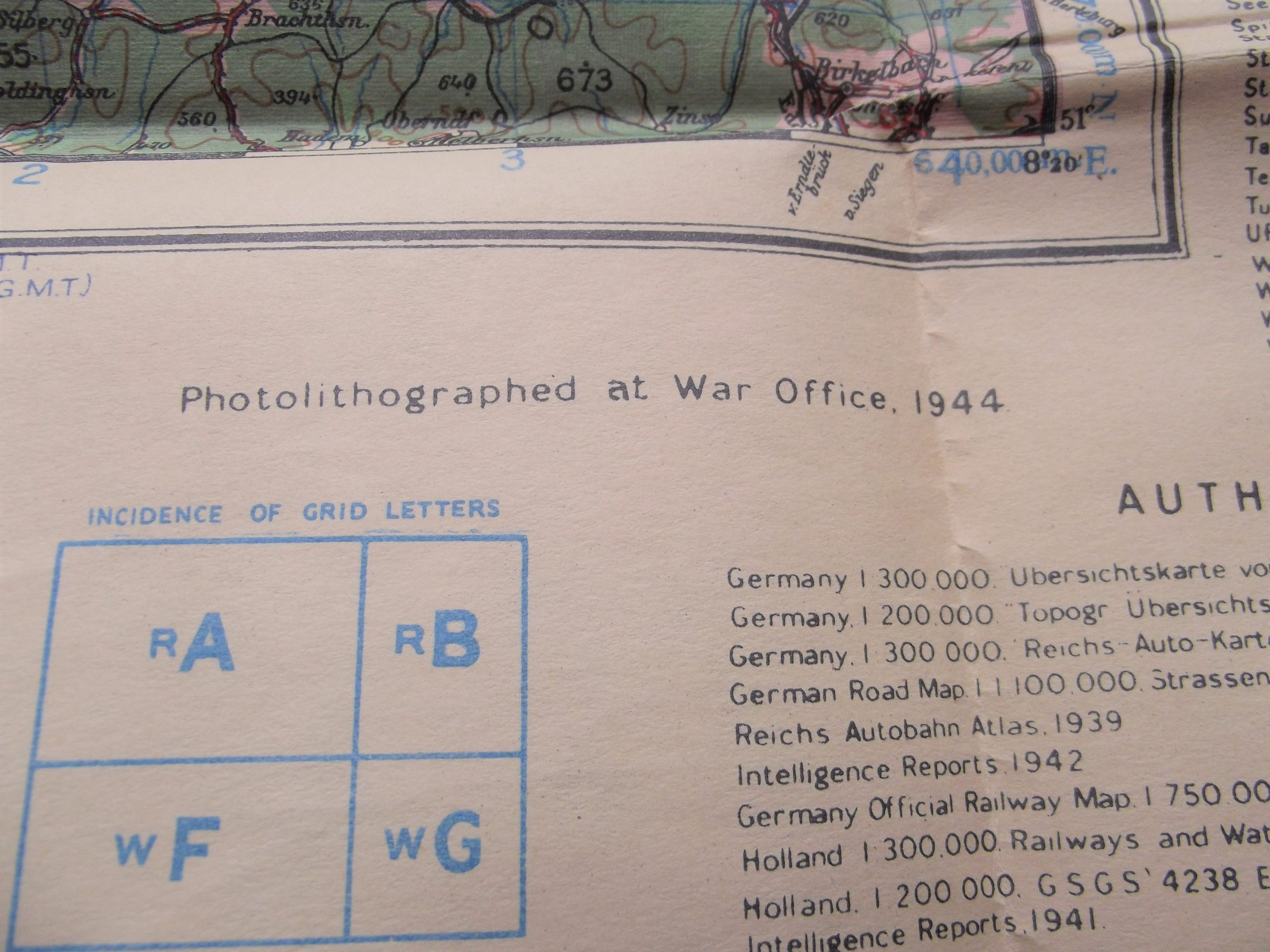
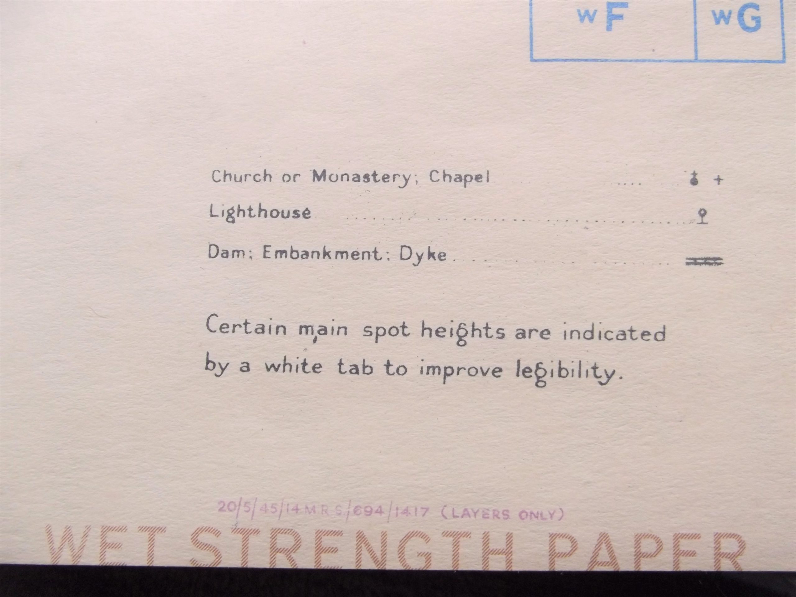
WW2 British army/air map of Dusseldorf Germany in good used condition dated 1944. The map has a scale of 1:250,000 and is sheet K.52 and is a second edition the map is complete with good colour and showing Dortmund an important industrial area with the river Rhine running through the map.
Please see the photographs for further condition details.


