

Description
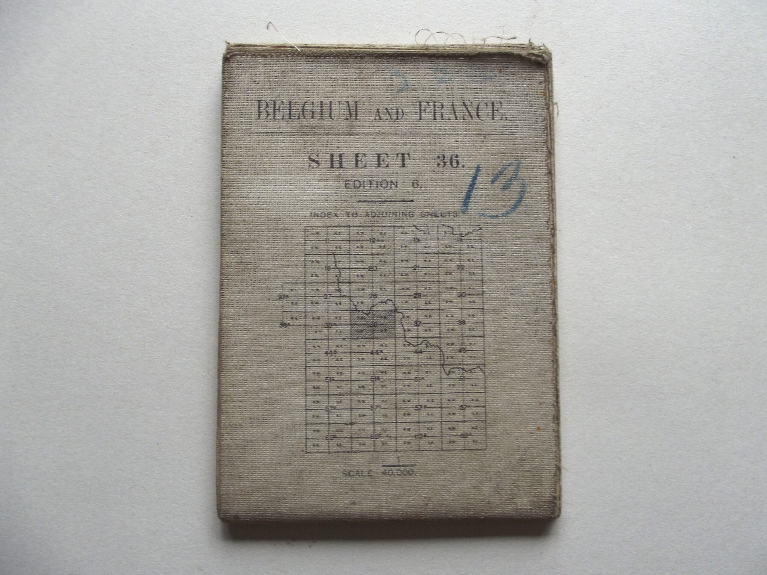
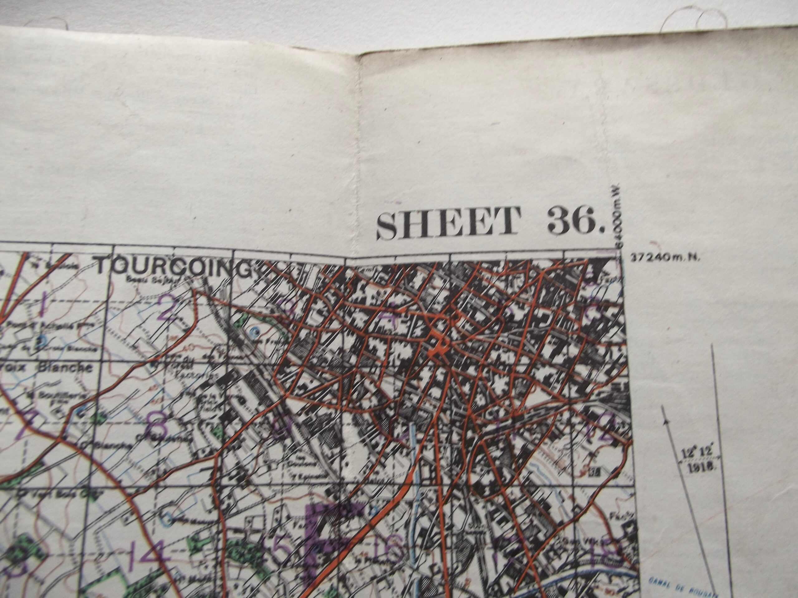
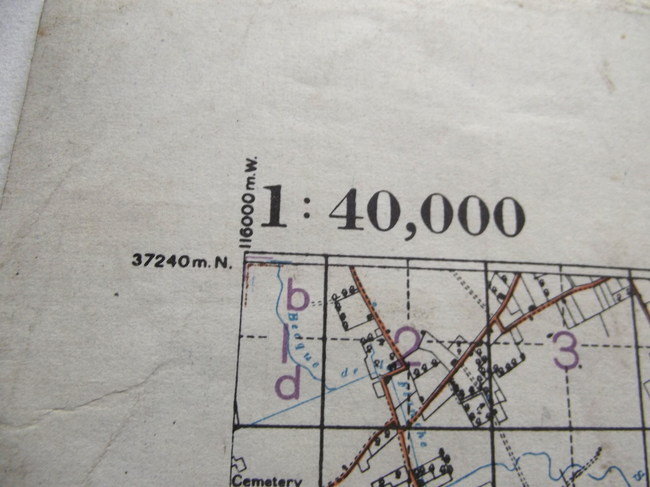
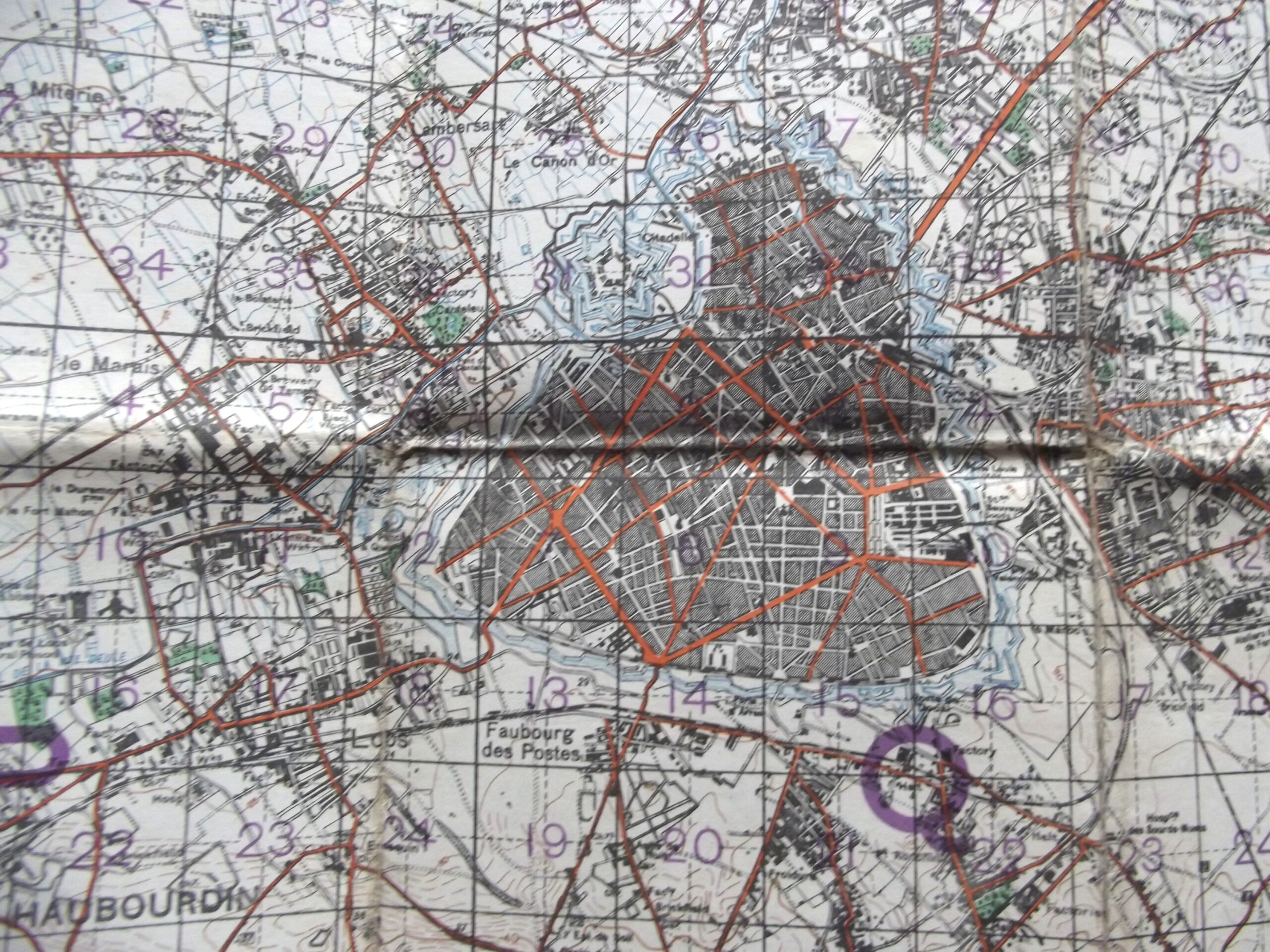
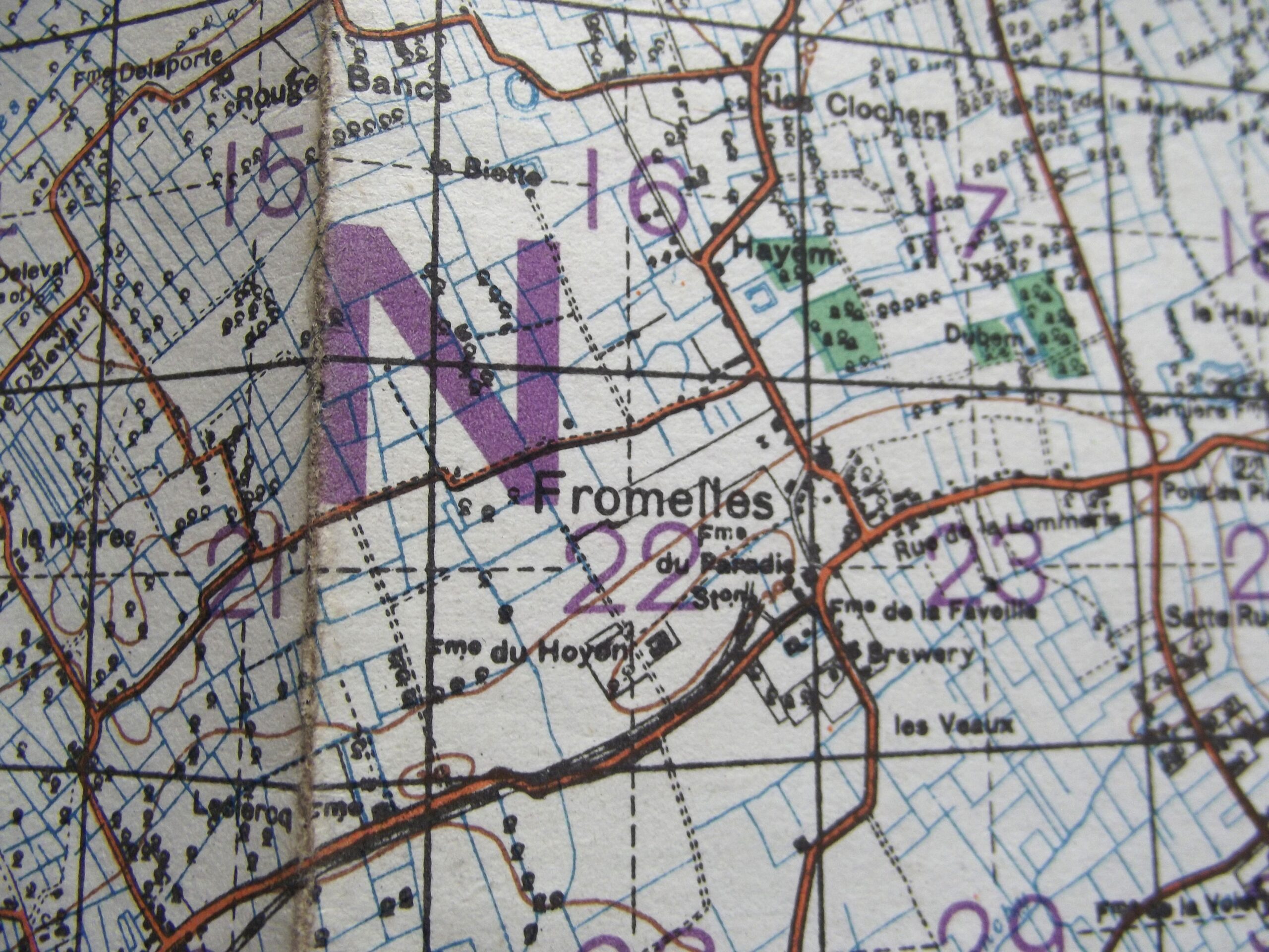
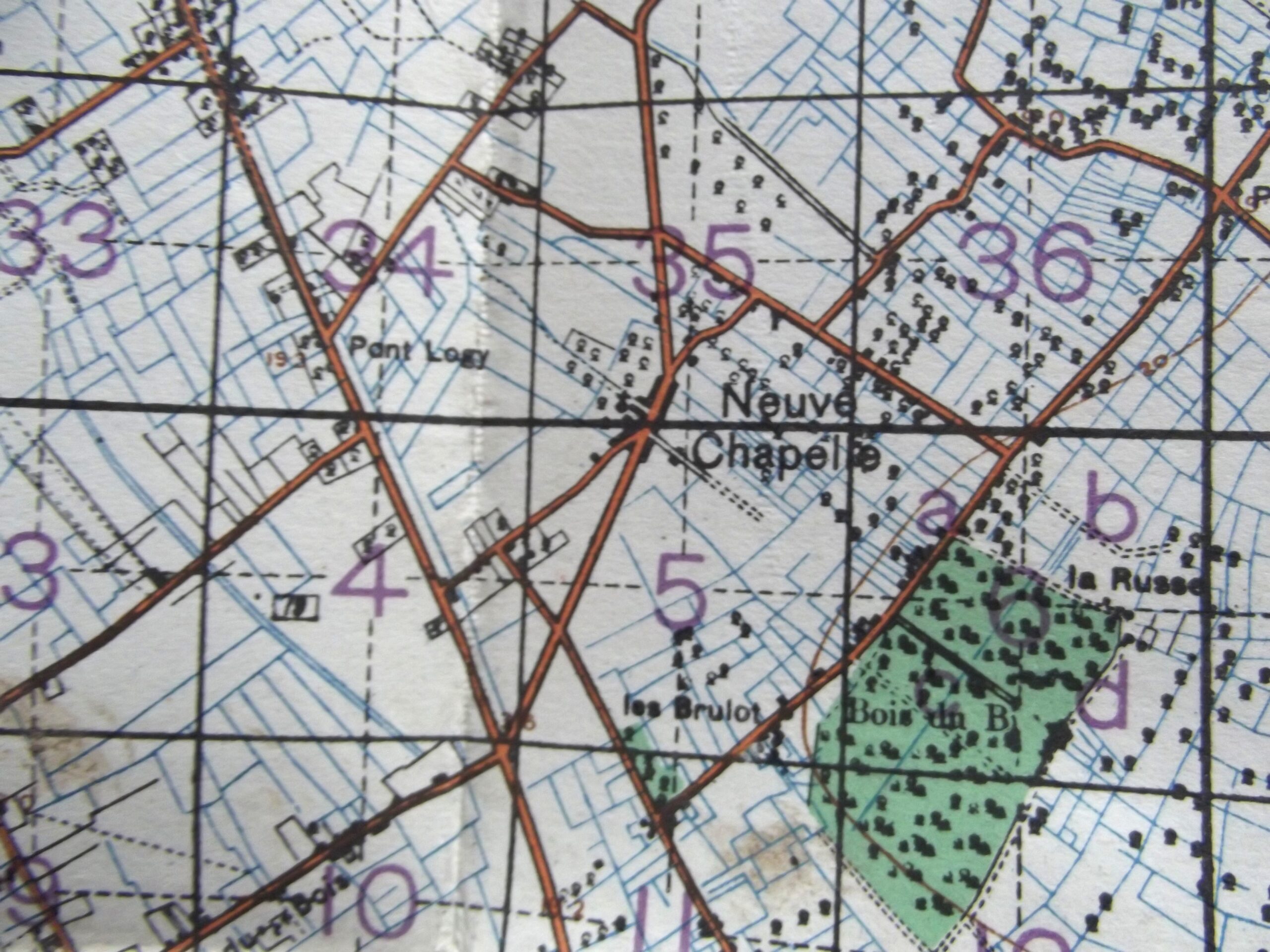
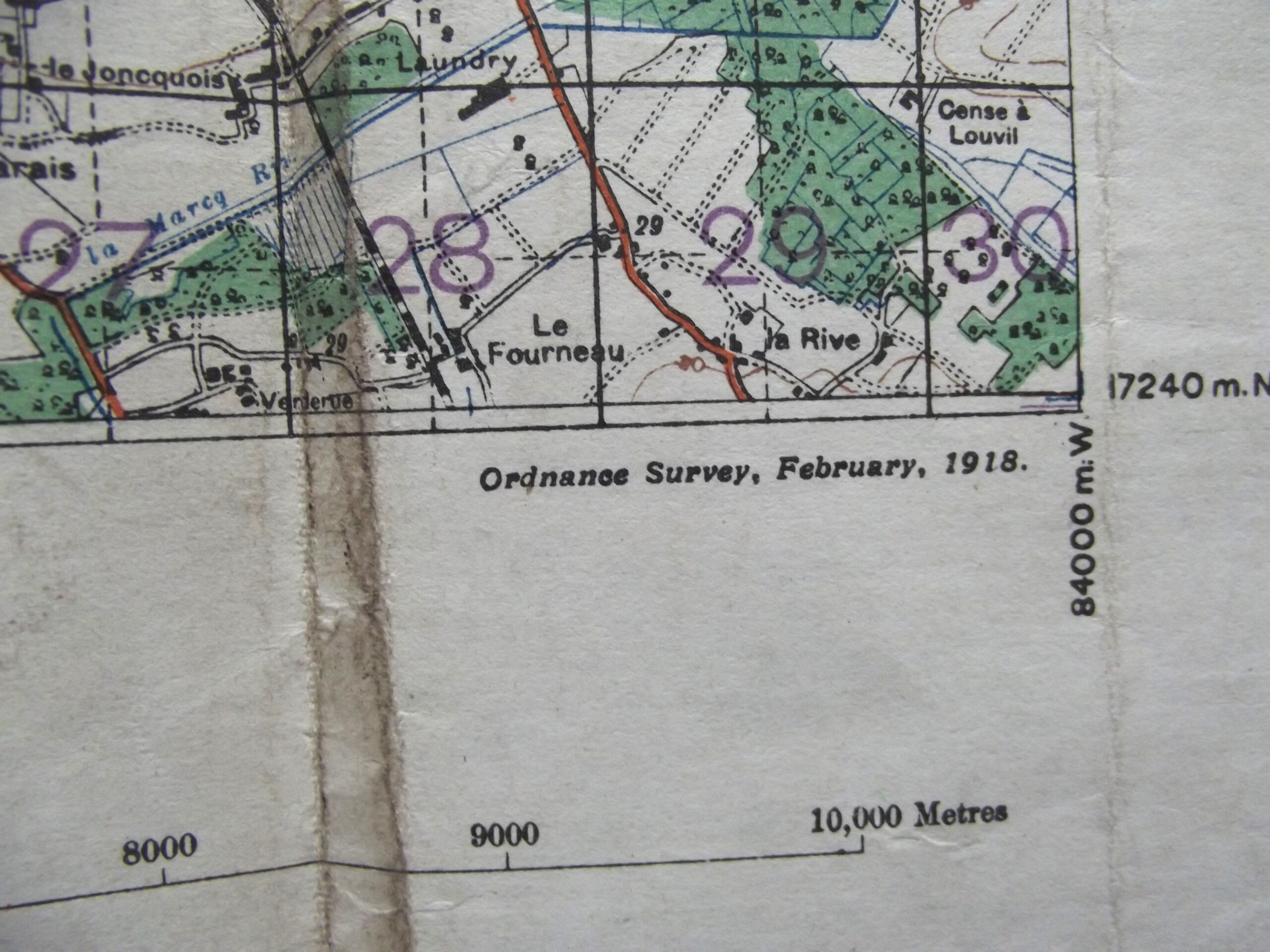
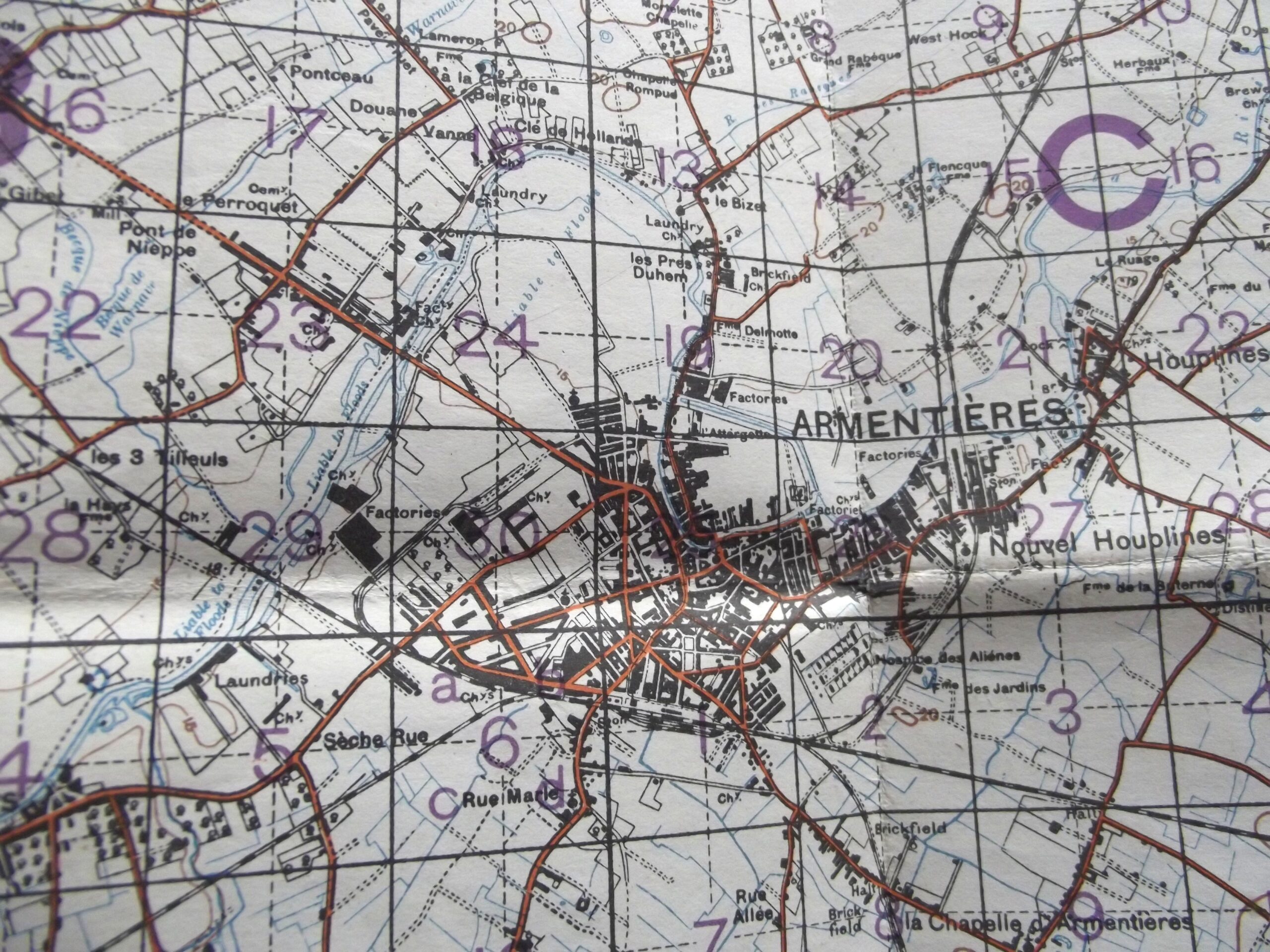
WW1 Cloth backed map of Belgium and France sheet 36 edition 6 in good used condition. The map is dated February 1918 with the scale of the map is 1 : 40,000.
The map shows Armentieres, Neuve Chapelle and Fromelles.
Please see the photographs for further details.


