

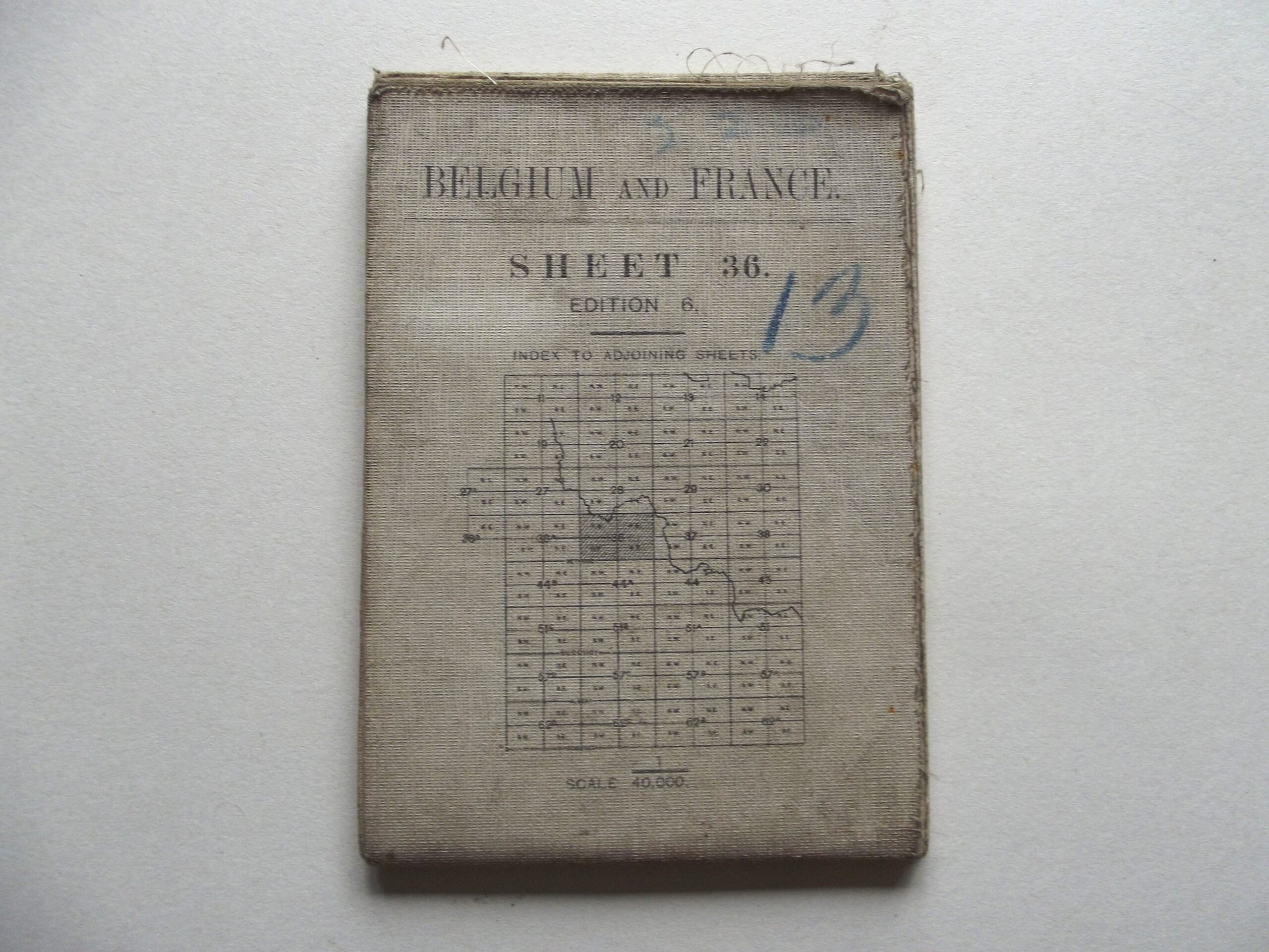
WW1 CLOTH BACKED MAP BELGIUM & FRANCE SHEET 36 6TH EDITION DATED 1918

WW1 CLOTH BACKED MAP BELGIUM & FRANCE SHEET 36 6TH EDITION DATED 1918
£26.00
Description
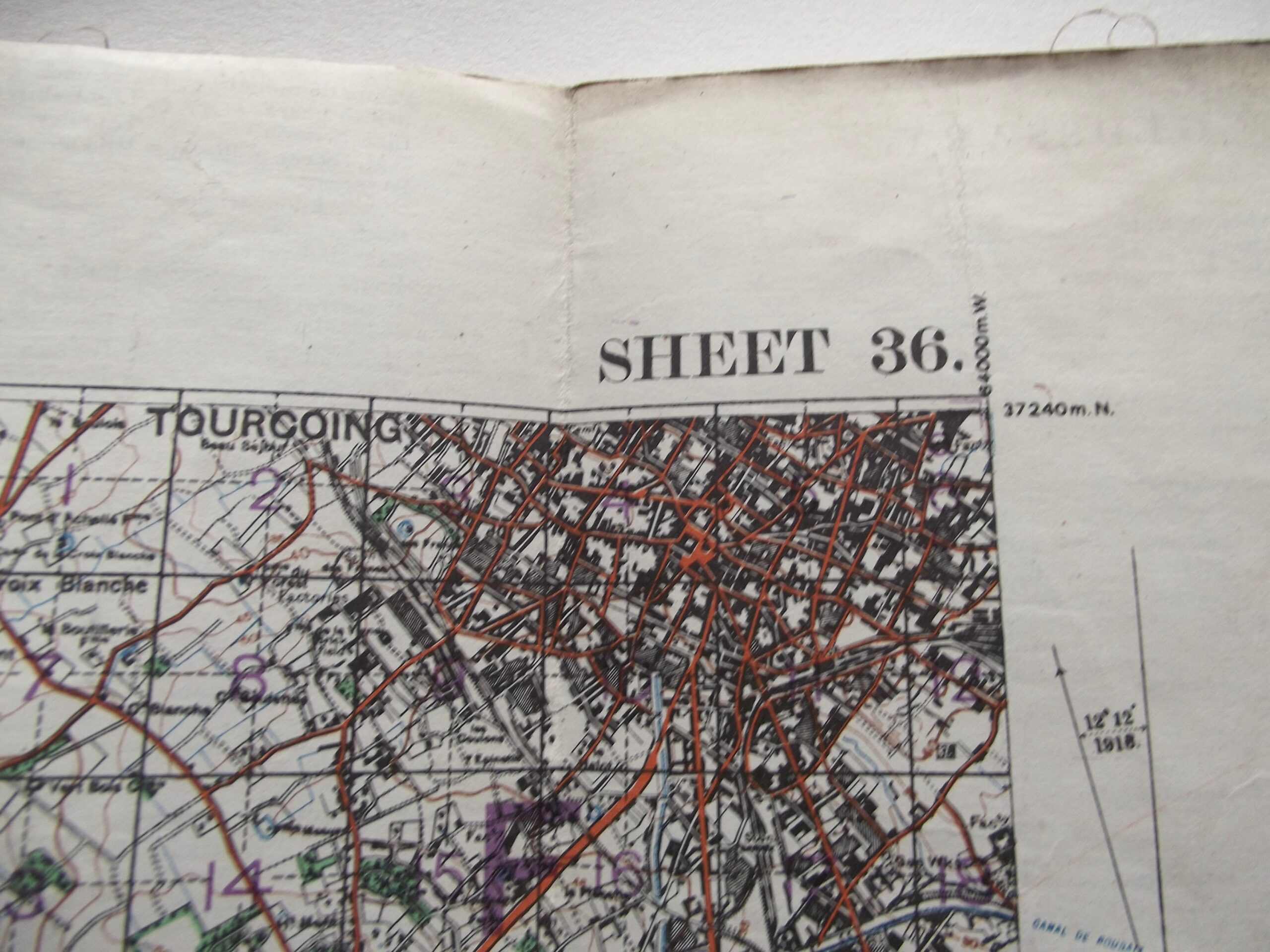
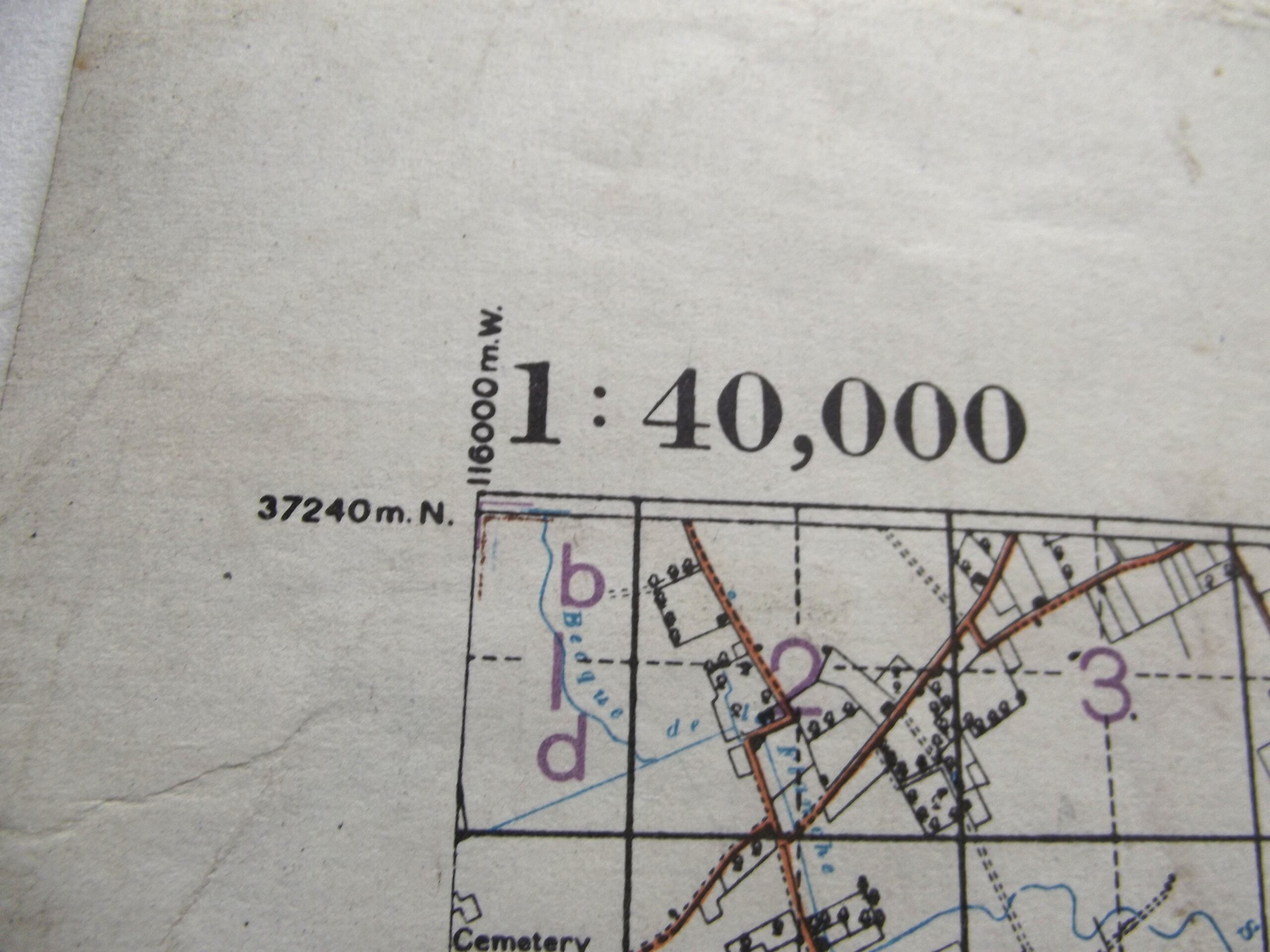
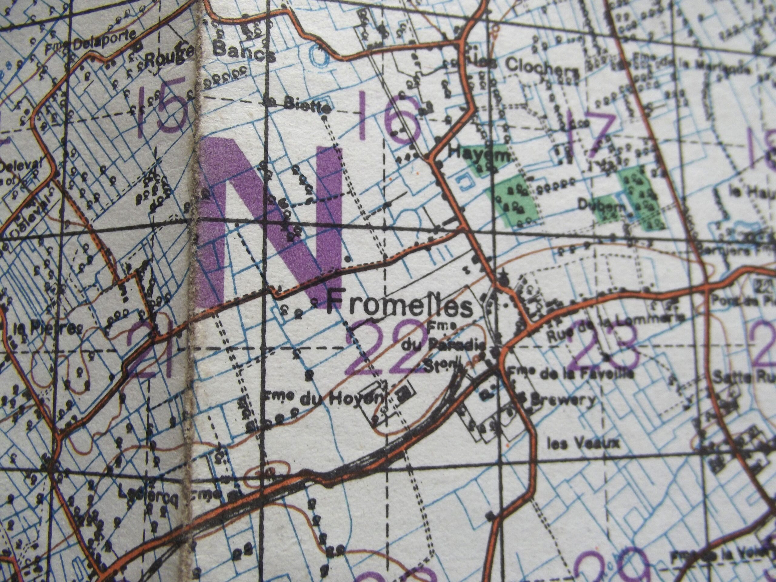
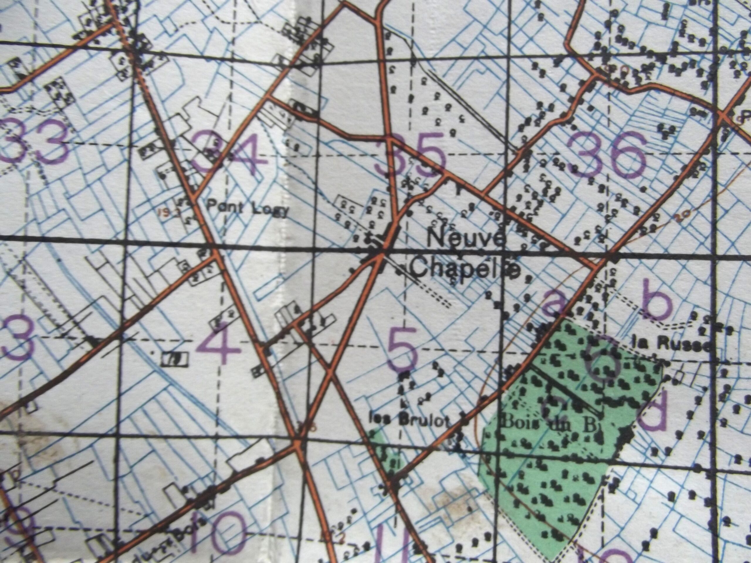
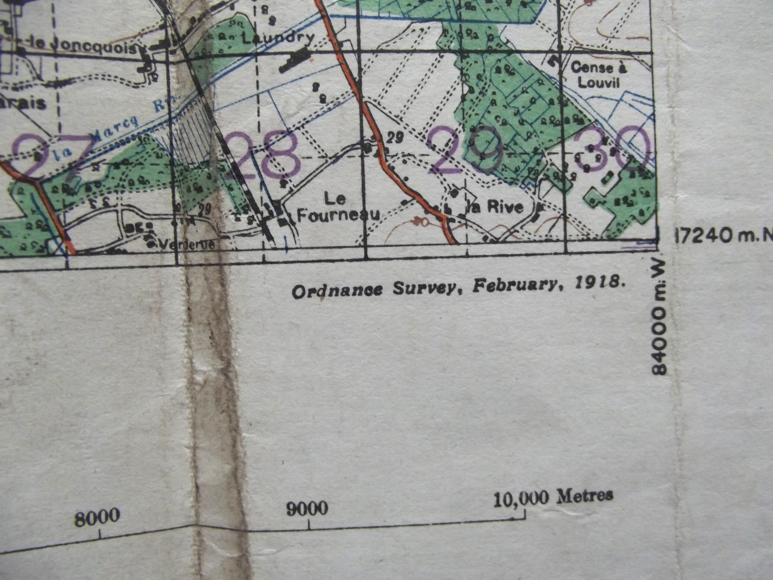
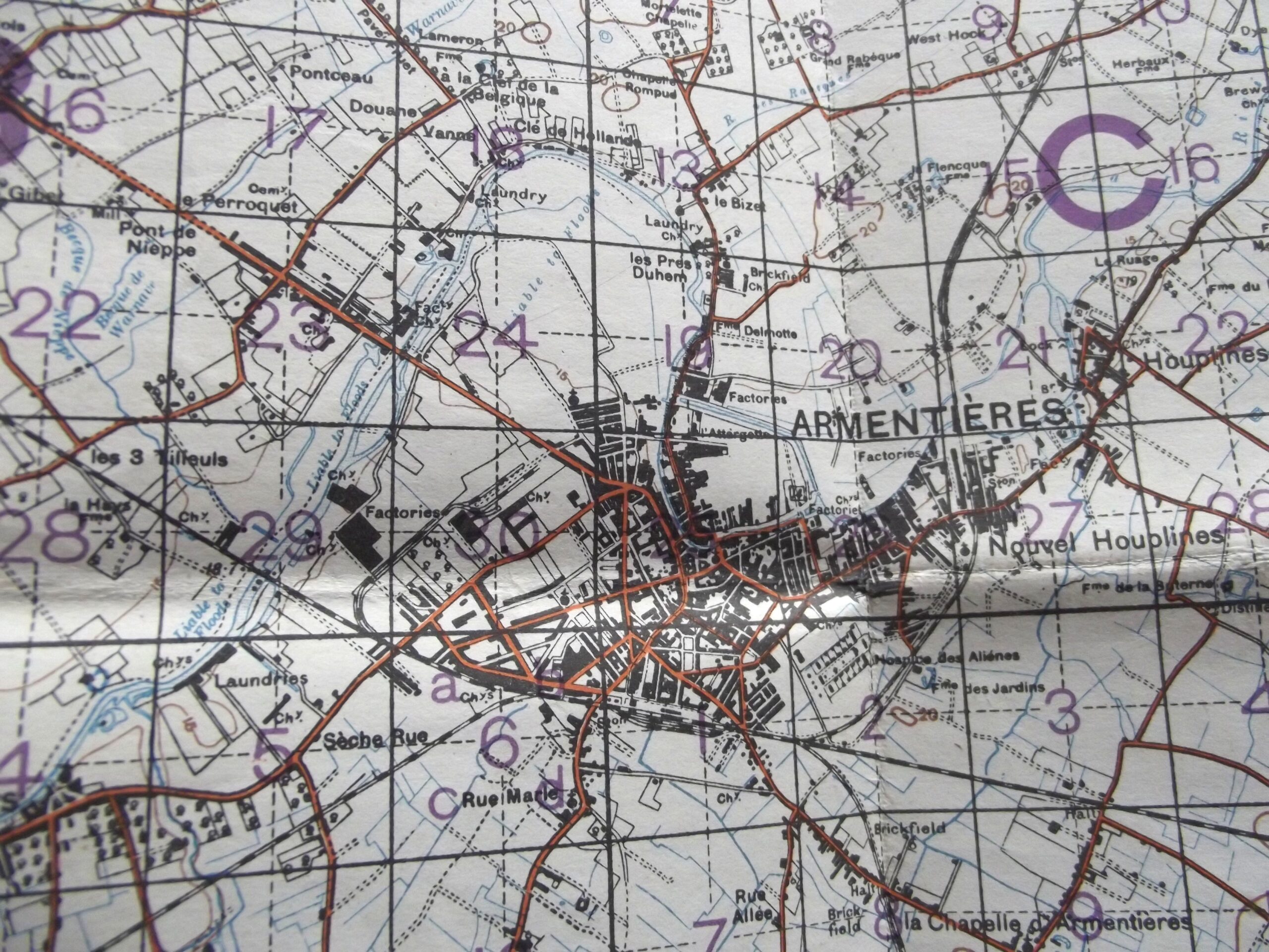
WW1 Cloth backed map of Belgium and France sheet 36 edition 6 in good used condition. The map is dated February 1918 with the scale of the map is 1 : 40,000.
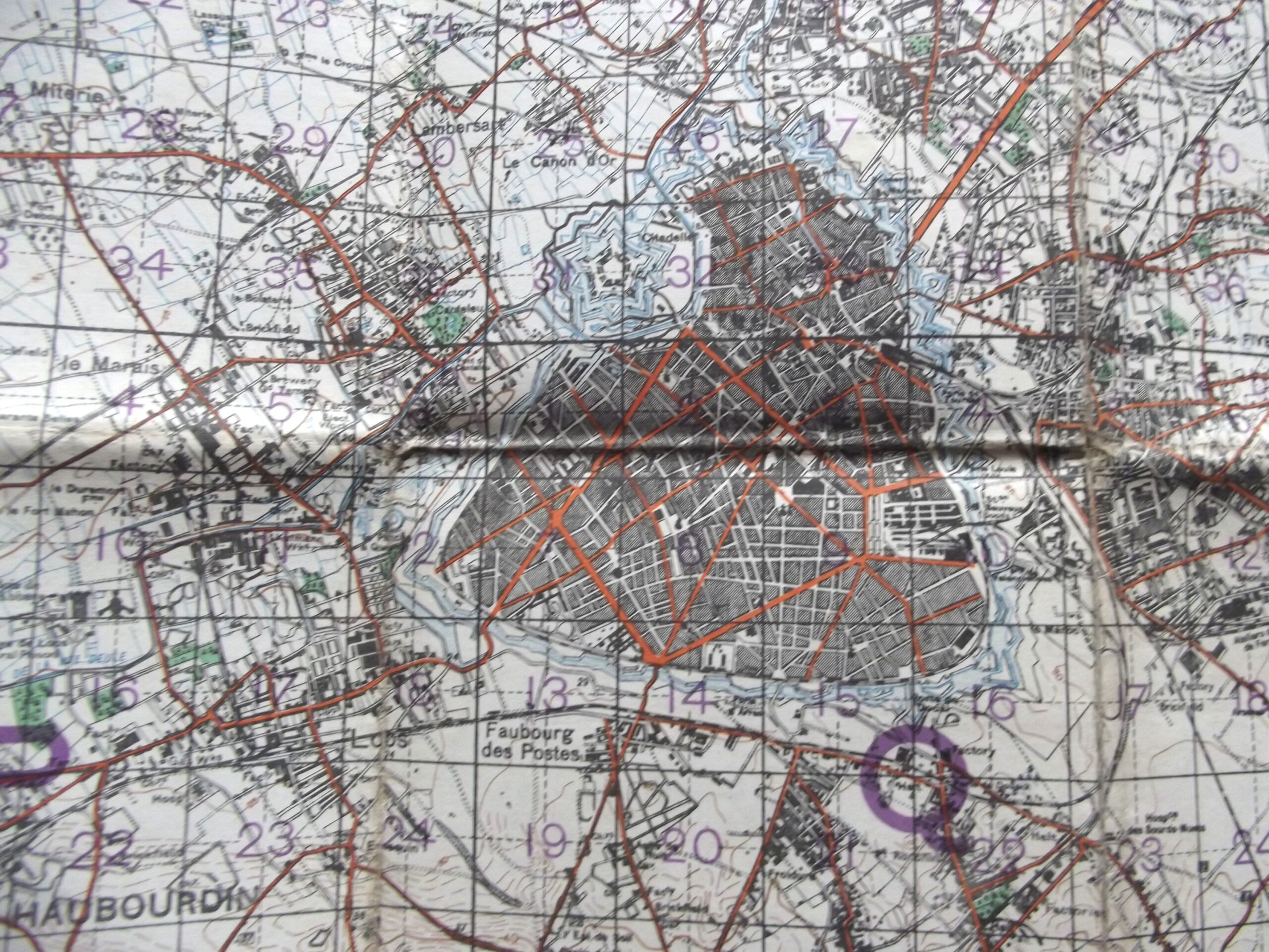
The map shows Armentieres, Neuve Chapelle and Fromelles.
Please see the photographs for further details.
Additional information
| Weight | 0.2 kg |
|---|
Related products
-

De-activated gun Accessories, Misc, WW1 British & Allies WW1 SMLE OIL BOTTLE MAKER MARKED J.J.B
WW1 SMLE oil bottle in good used condition. The oil bottle is maker marked for J.J.B J & J Bent company Birmingham with the war department arrow and an inspection stamp showing, the oil bottle has good age related colour and is complete. Please see the photographs for further details, free postage for UK customers. -

British & Allies Badges, Misc, WW1, WW1 British & Allies WW1 ROYAL WEST KENT OFFICERS BRONZE CAP BADGE
WW1 Royal West Kent officers cap badge in good used condition. The cap badge has its fixing straps in place on the back of the badge and shows age related wear. Please see the photographs for further detail, free postage to UK customers. -
Sale!

Pre WW1, WW1 British & Allies BOER WAR / WW1 THREE DRAW TELESCOPE DATED 1902
Boer war / WW1 three draw telescope in good working condition. The telescope is three draw out sections so when extended it has four parts which are all a good tight fit with no play in them the first section is maker marked for L Casella London with the war department arrow and the letter I underneath for Indian army issue it is clearly dated -

Medals & Awards, WW1 British & Allies WW1 FRENCH MEDAL EN-ALSACE NOTRE 75 1914-15 E. DROPSY
WW1 French medal En-Alsace Notre 75 1914-15 in good condition. The medal is by E Dropsy and signed the medal has excellent detail which can be seen in the photographs the medal is 27mm round, free postage for UK customers.