
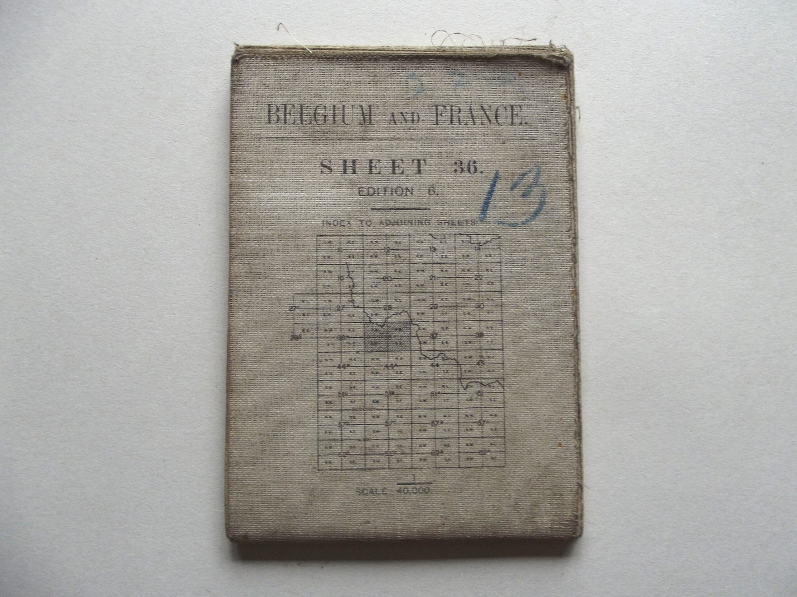
WW1 CLOTH BACKED MAP BELGIUM & FRANCE SHEET 36 6TH EDITION DATED 1918

WW1 CLOTH BACKED MAP BELGIUM & FRANCE SHEET 36 6TH EDITION DATED 1918
£26.00
Description
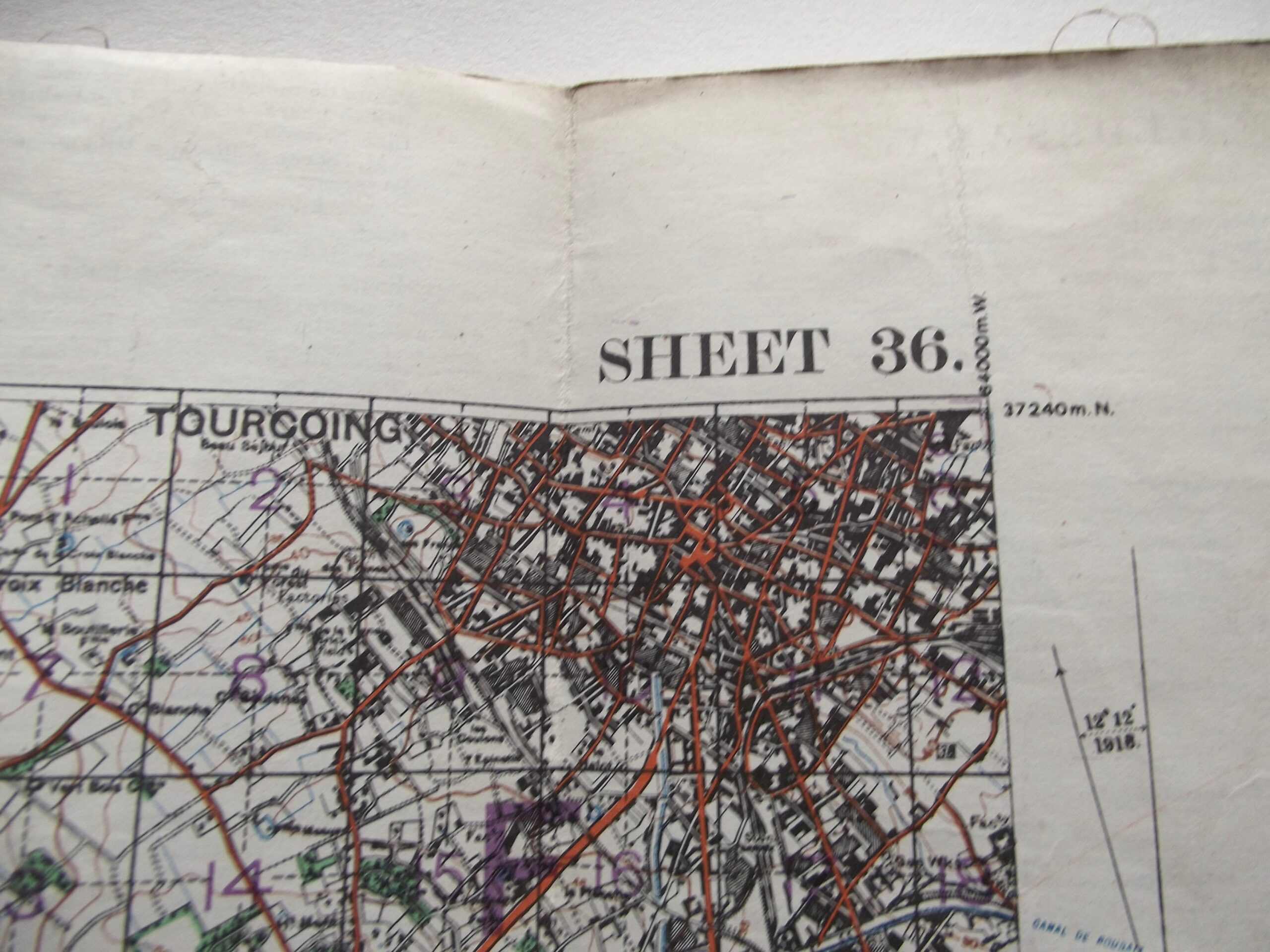
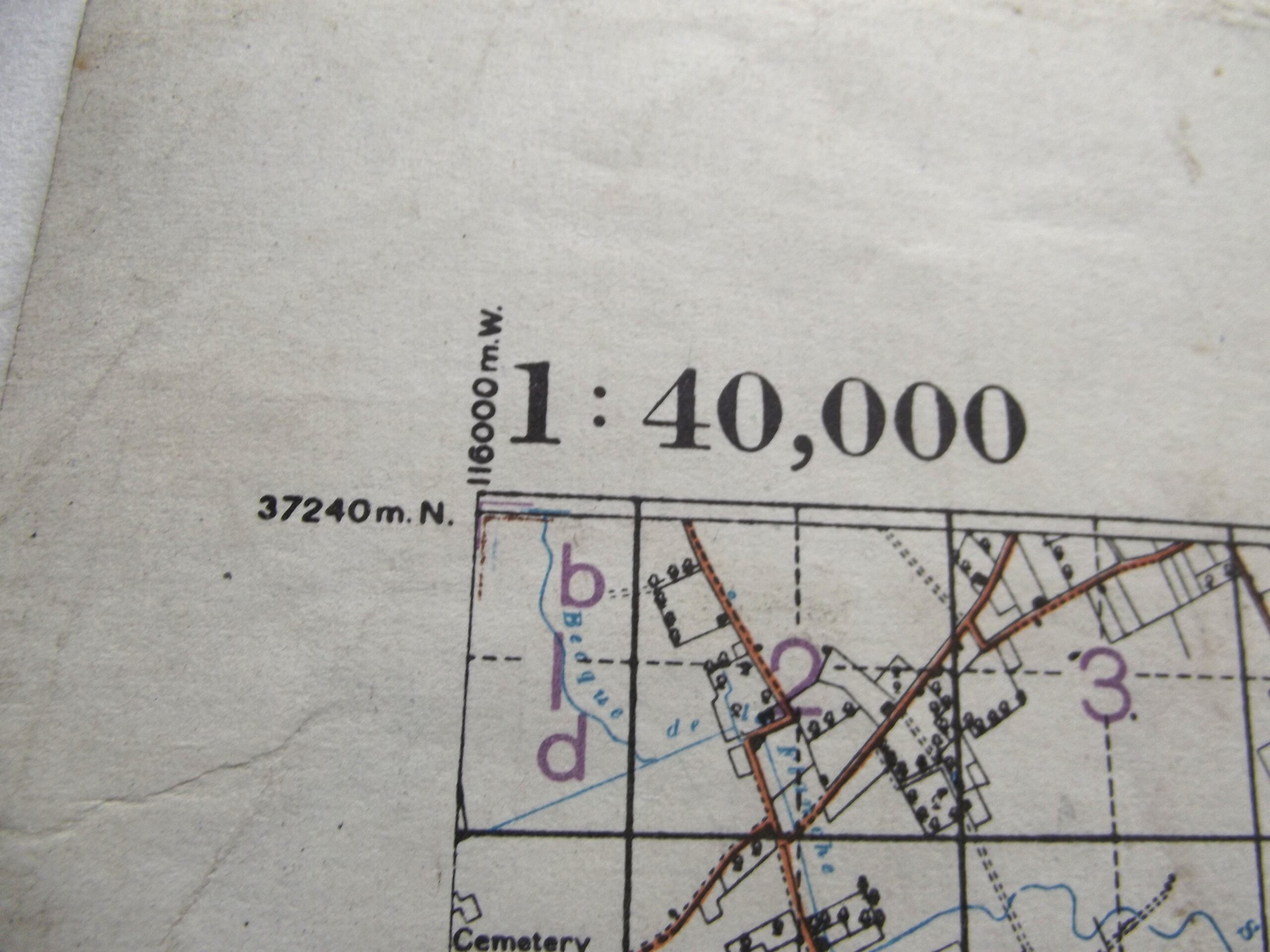
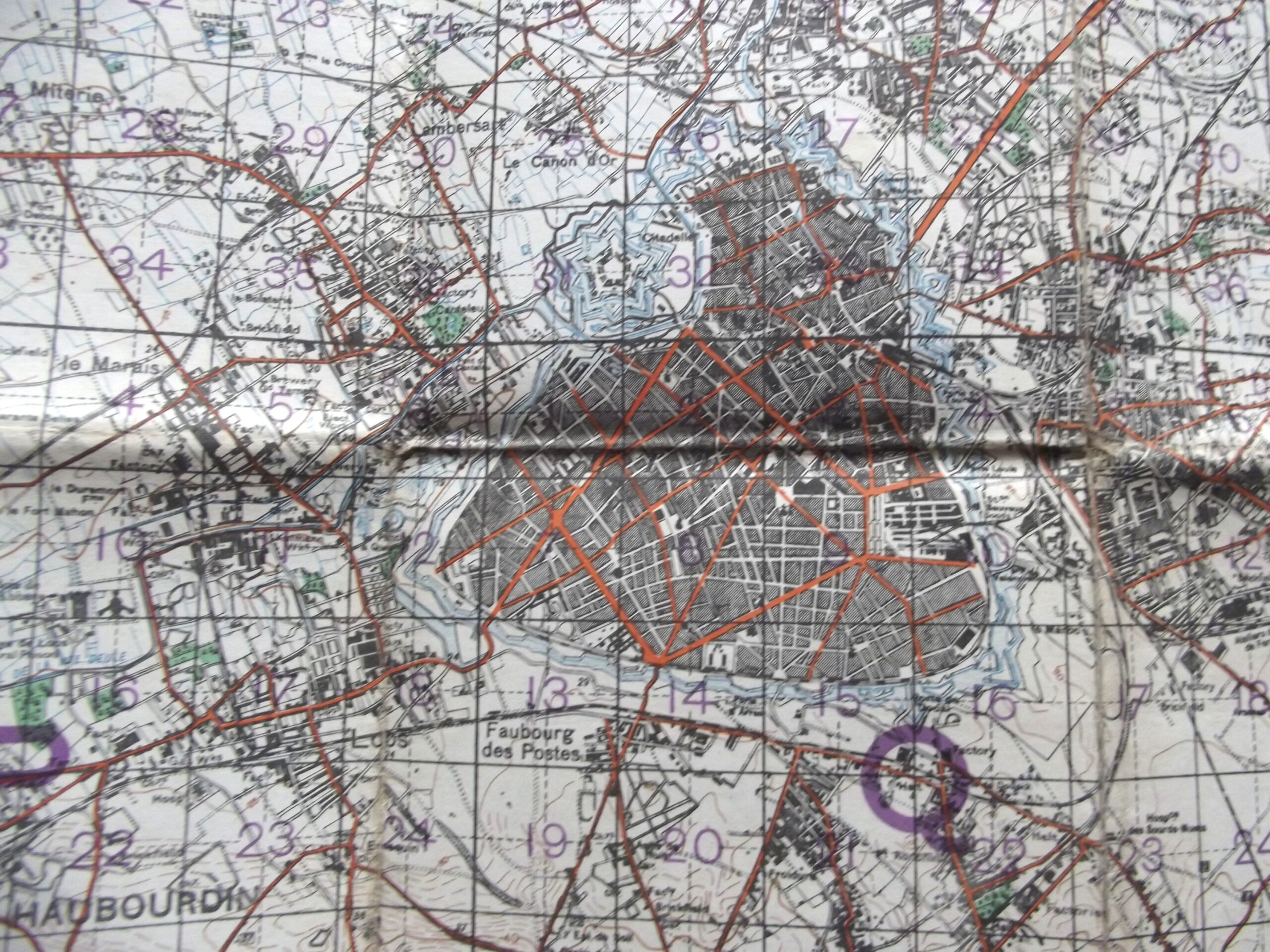
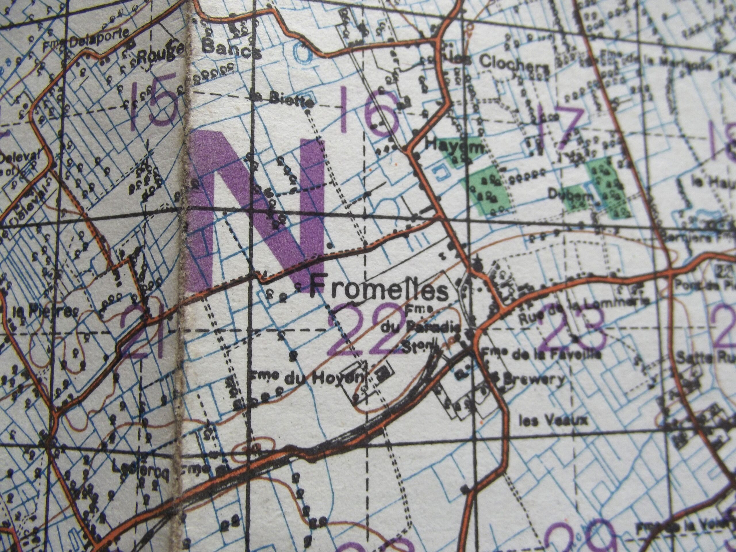
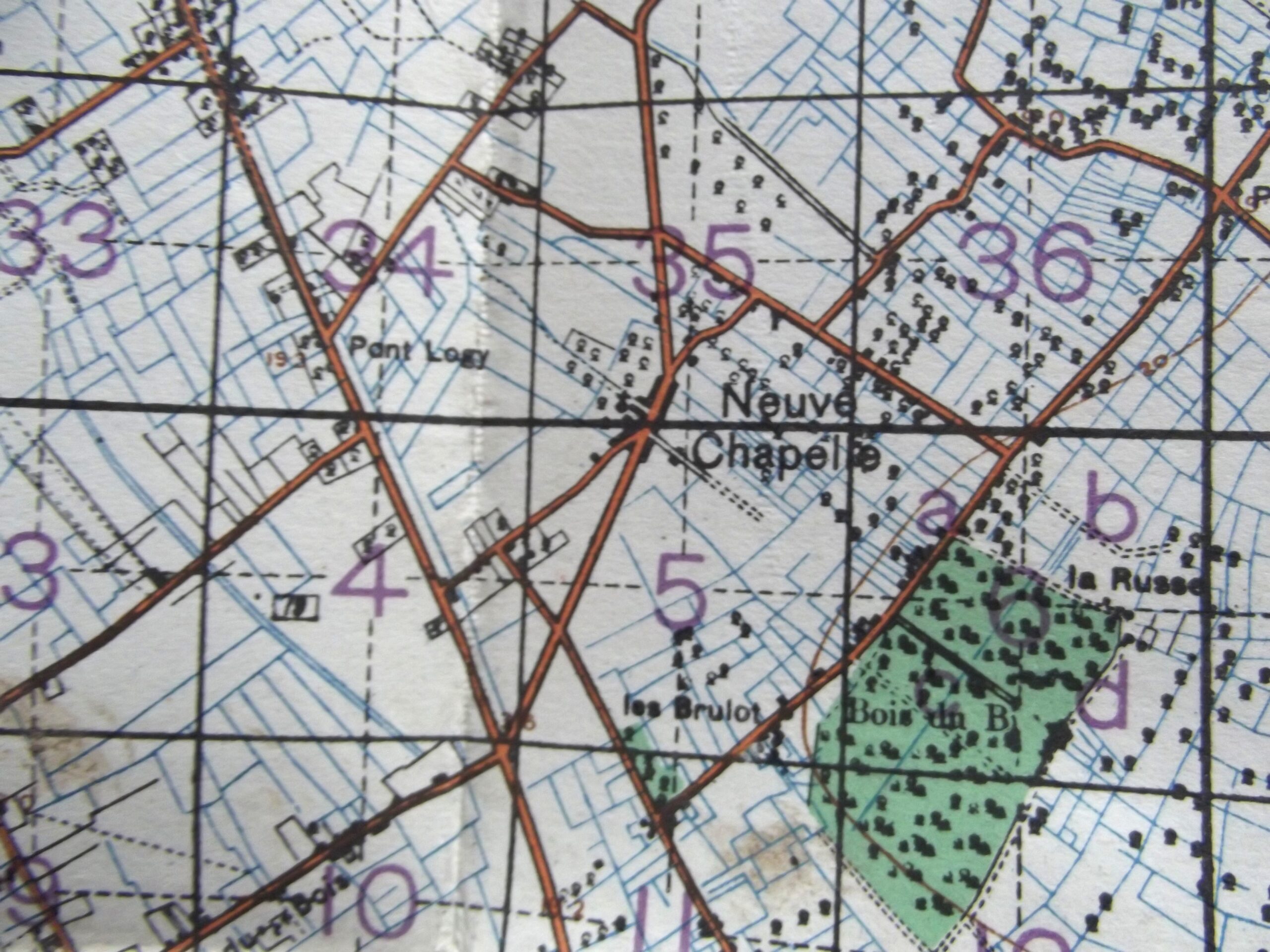
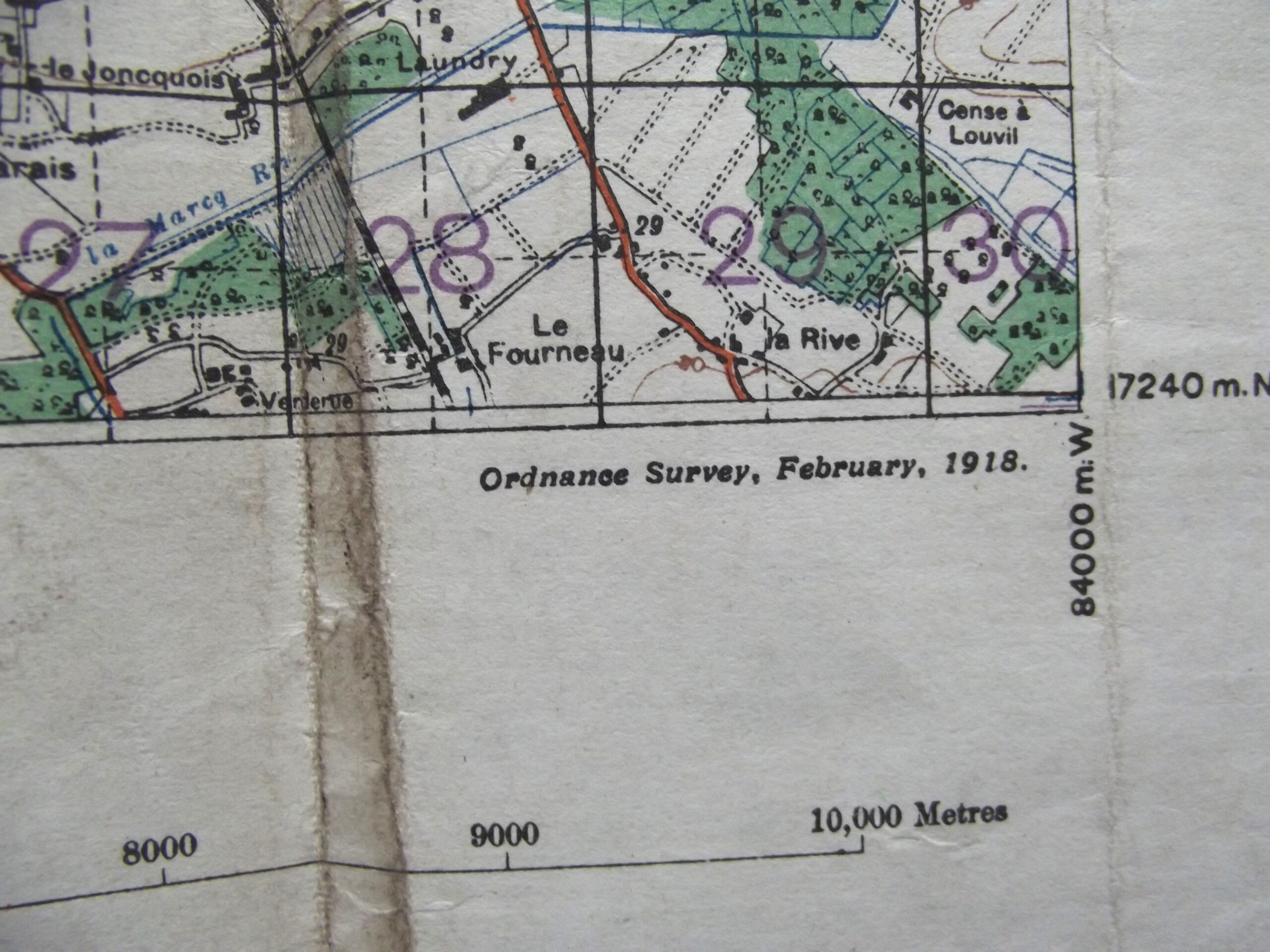
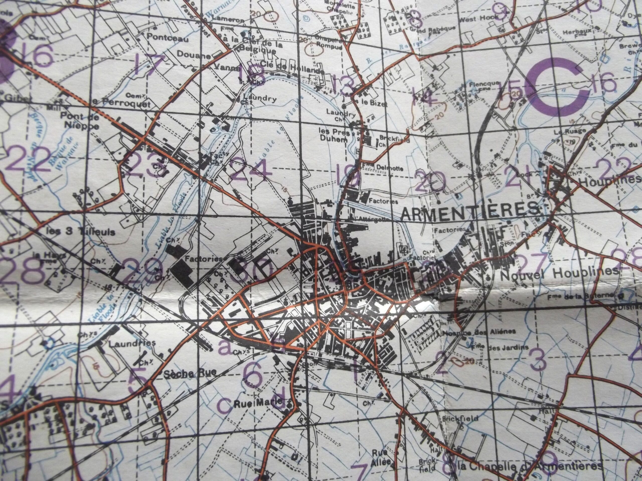
WW1 Cloth backed map of Belgium and France sheet 36 edition 6 in good used condition. The map is dated February 1918 with the scale of the map is 1 : 40,000.
The map shows Armentieres, Neuve Chapelle and Fromelles.
Please see the photographs for further details.
Additional information
| Weight | 0.2 kg |
|---|
Related products
-

British & Allies Badges, Misc, WW1, WW1 British & Allies WW1 ON WAR SERVICE BADGE DATED 1914
WW1 On war service button badge in good condition and dated 1914.The badge is maker marked for W.J Dingley Birmingham and has a issue number of A85335, the badge has a good blue enamel finish with age related wear and colour.Please see the photographs for further detail,free postage for UK customers. -

Field Equipment, WW1 British & Allies WW1 BRITISH ARMY WIRECUTTERS DATED 1917
WW1 British army wirecutters in good used condition. The wirecutters are war department arrow marked on both sides and also maker marked on both sides for Chater Lea Ltd with the date 1917 clear to see, the wirecutters show age related colour with a little play in the handles but still fairly tight considering their age. Please see the photographs for further details, free postage -

Misc, WW1 British & Allies WW1 PERIOD CELLULOID MATCH BOX COVER BOURNEMOUTH HOSPITAL’S
WW1 Celluloid match box cover for Bournemouth local hospital's in good used condition. The cover shows age related wear and tear and has the badge of a red cross showing on the front with the word Christmas offering to local hospital's, the detail can be seen in the photographs. The cover is marked British made with MATCHES on the edge. Please see the photographs for -

Field Equipment, WW1 British & Allies WW1 OFFICERS SAM BROWN BELT & SHOULDER STRAP DATED 1917
WW1 Officers Sam Brown belt and shoulder strap in good used condition and dated 1917. The belt and shoulder strap have supple leather with all there brass fittings in place bot show age related wear but nothing that has any damage to it. The belt is maker marked for M Harvey & Co Ltd with the date 1917 just below this can be seen in