WW1 CLOTH BACKED MAP BELGIUM OSTEND DATED 1911
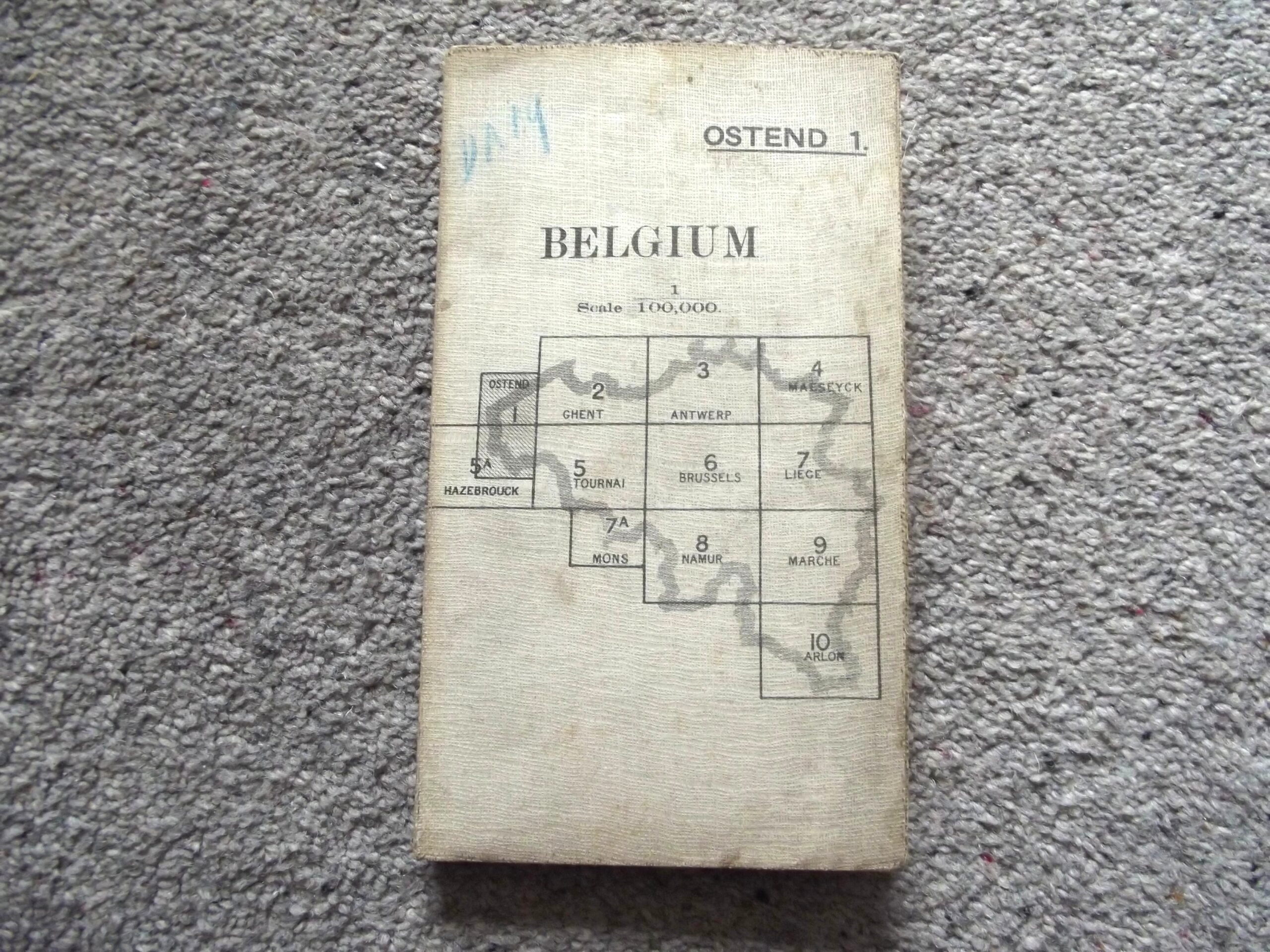
WW1 CLOTH BACKED MAP BELGIUM OSTEND DATED 1911
£30.00
Description
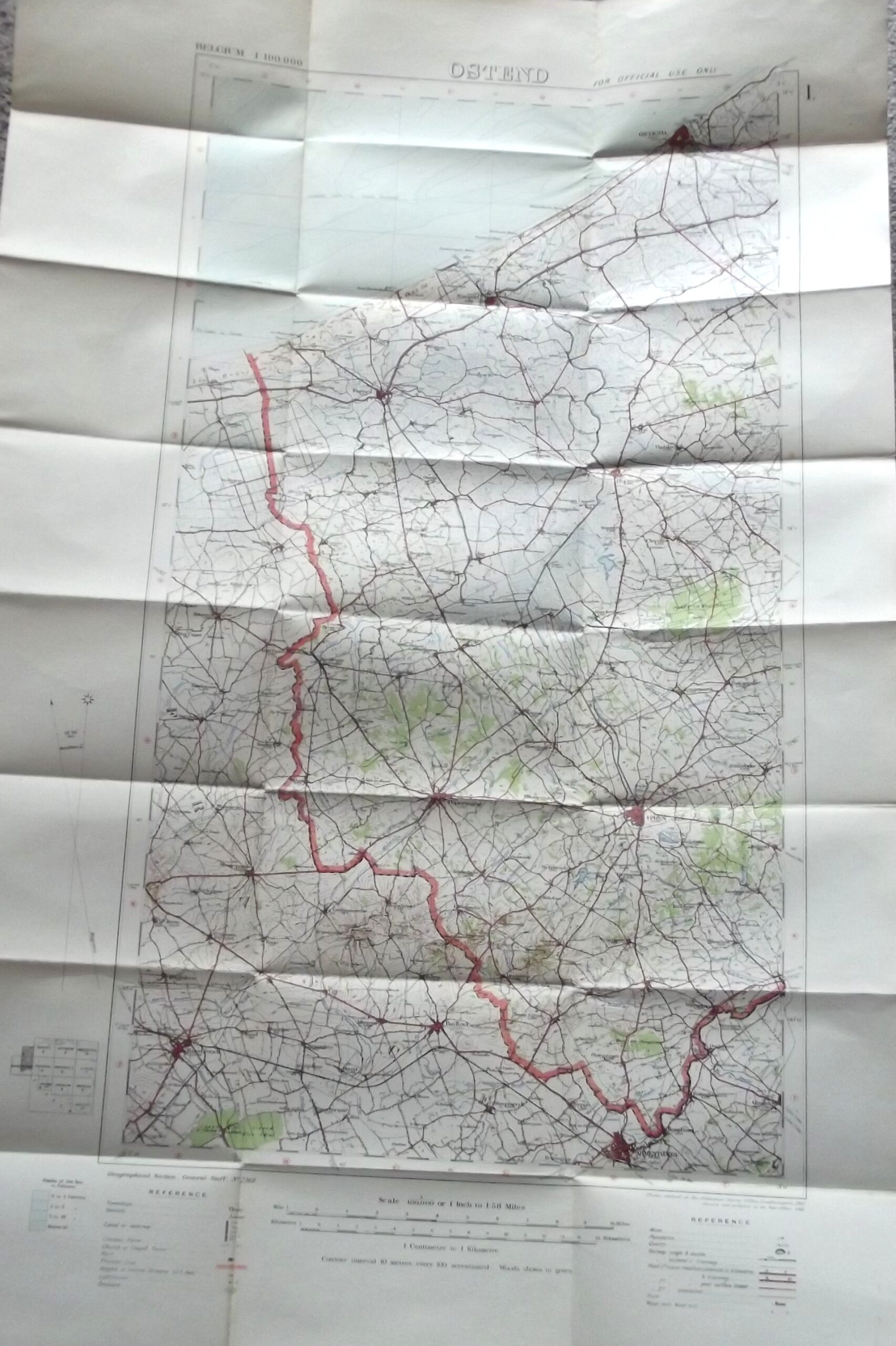
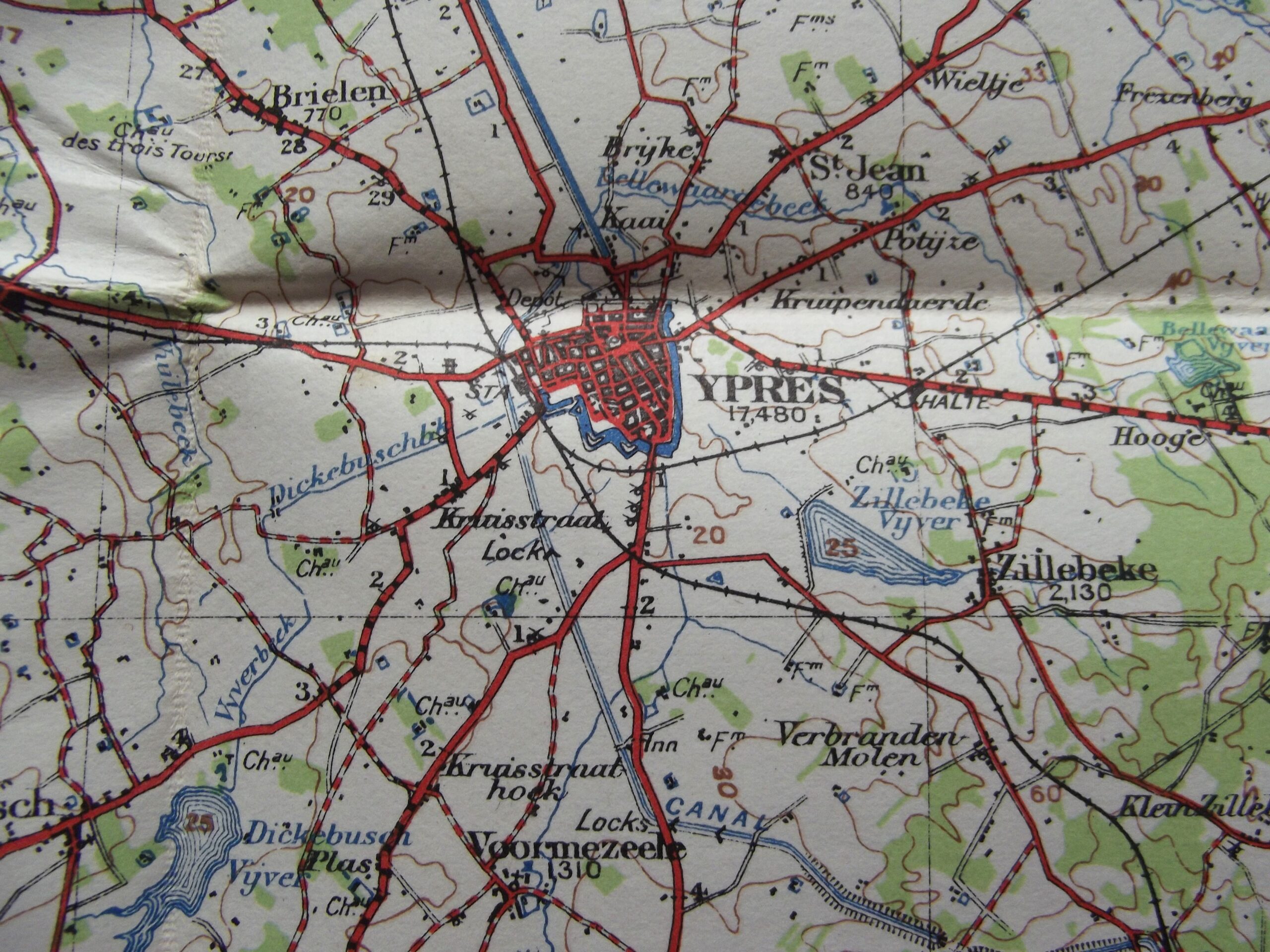
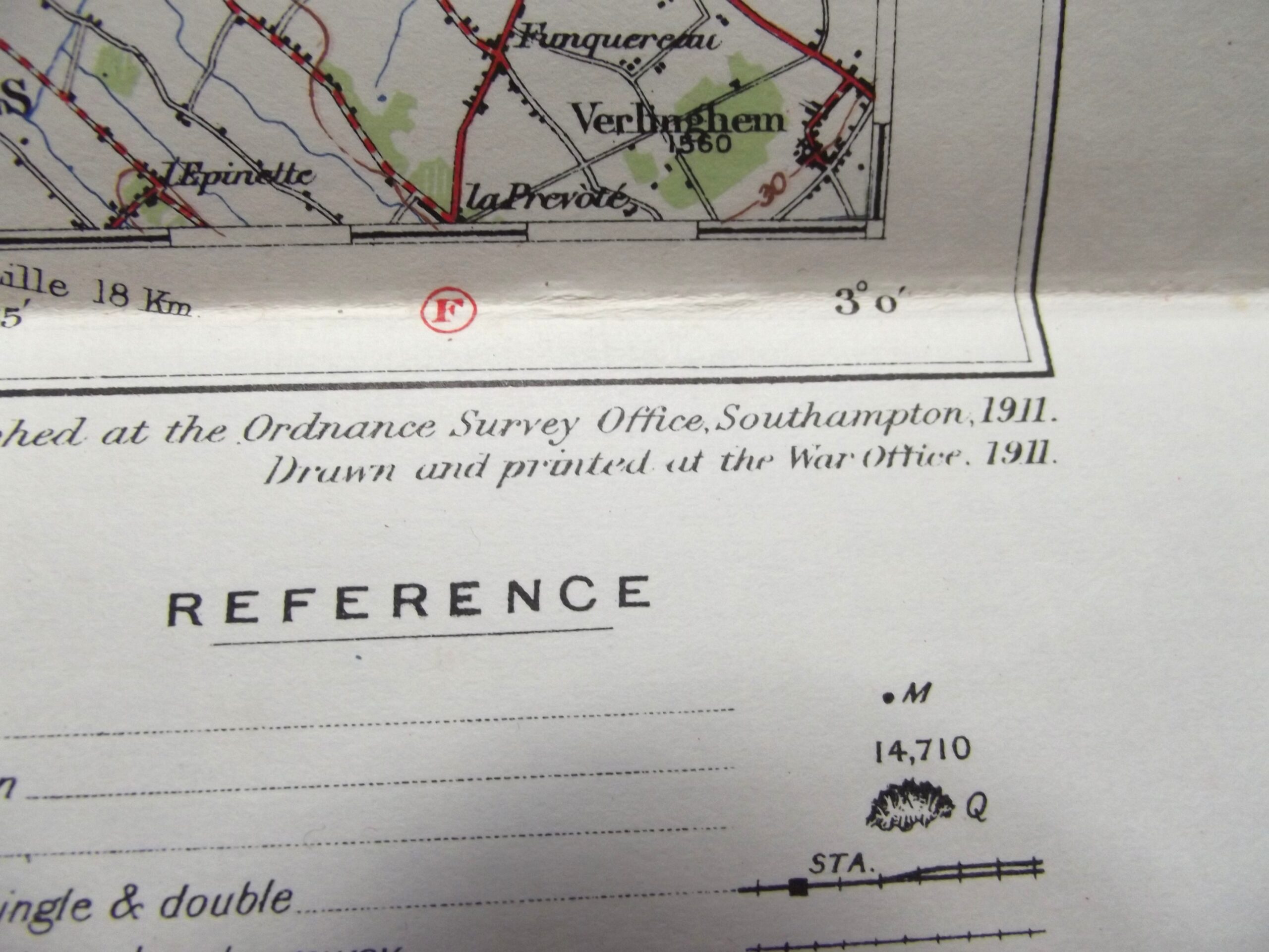
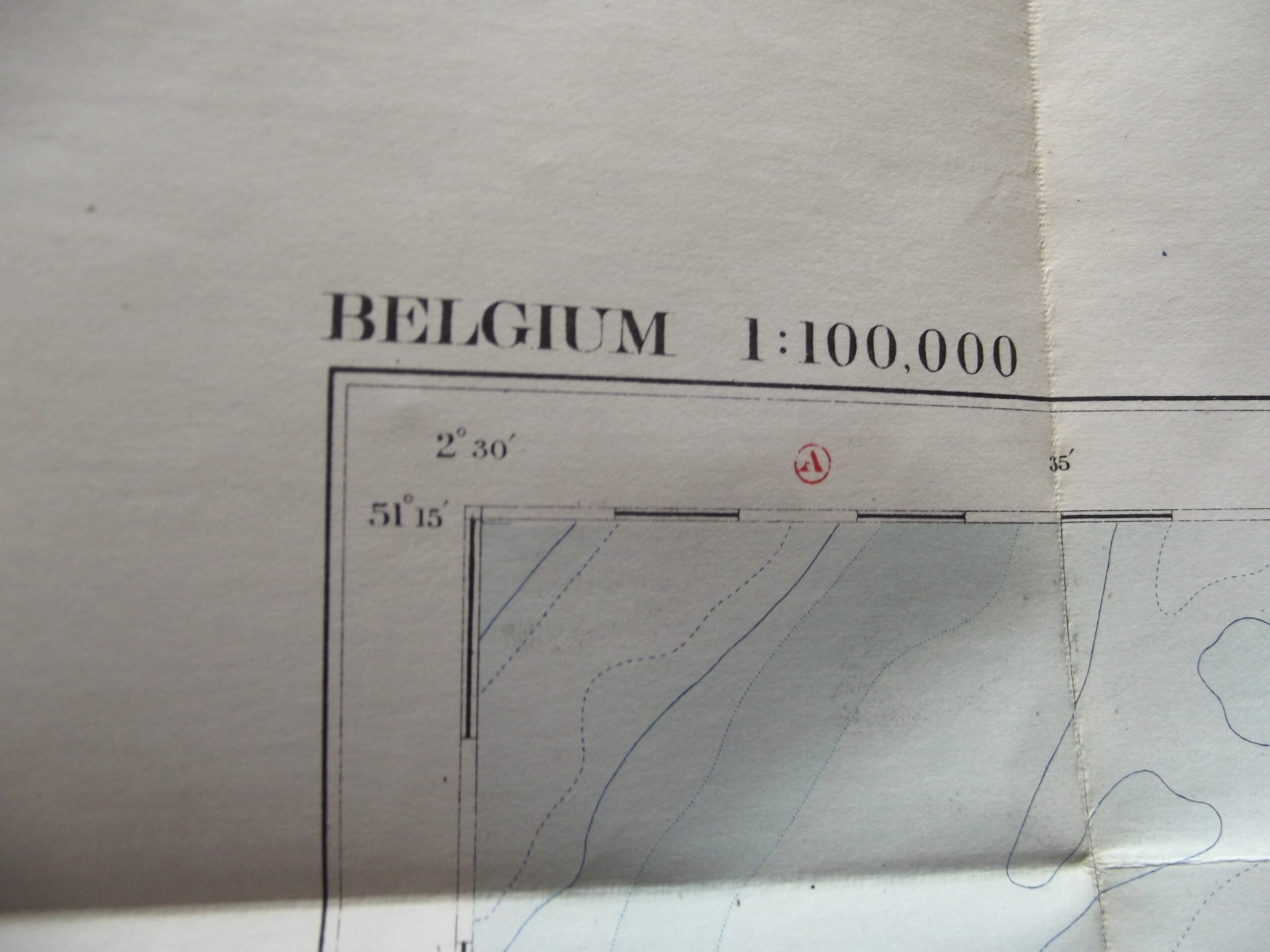
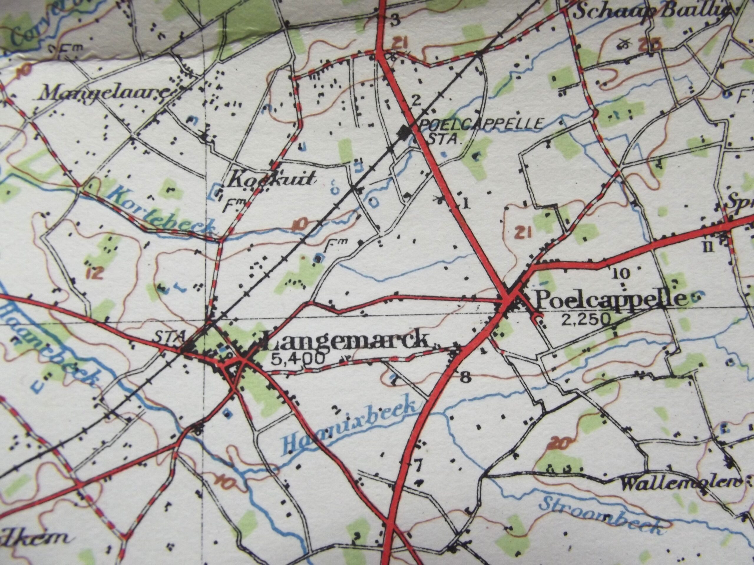
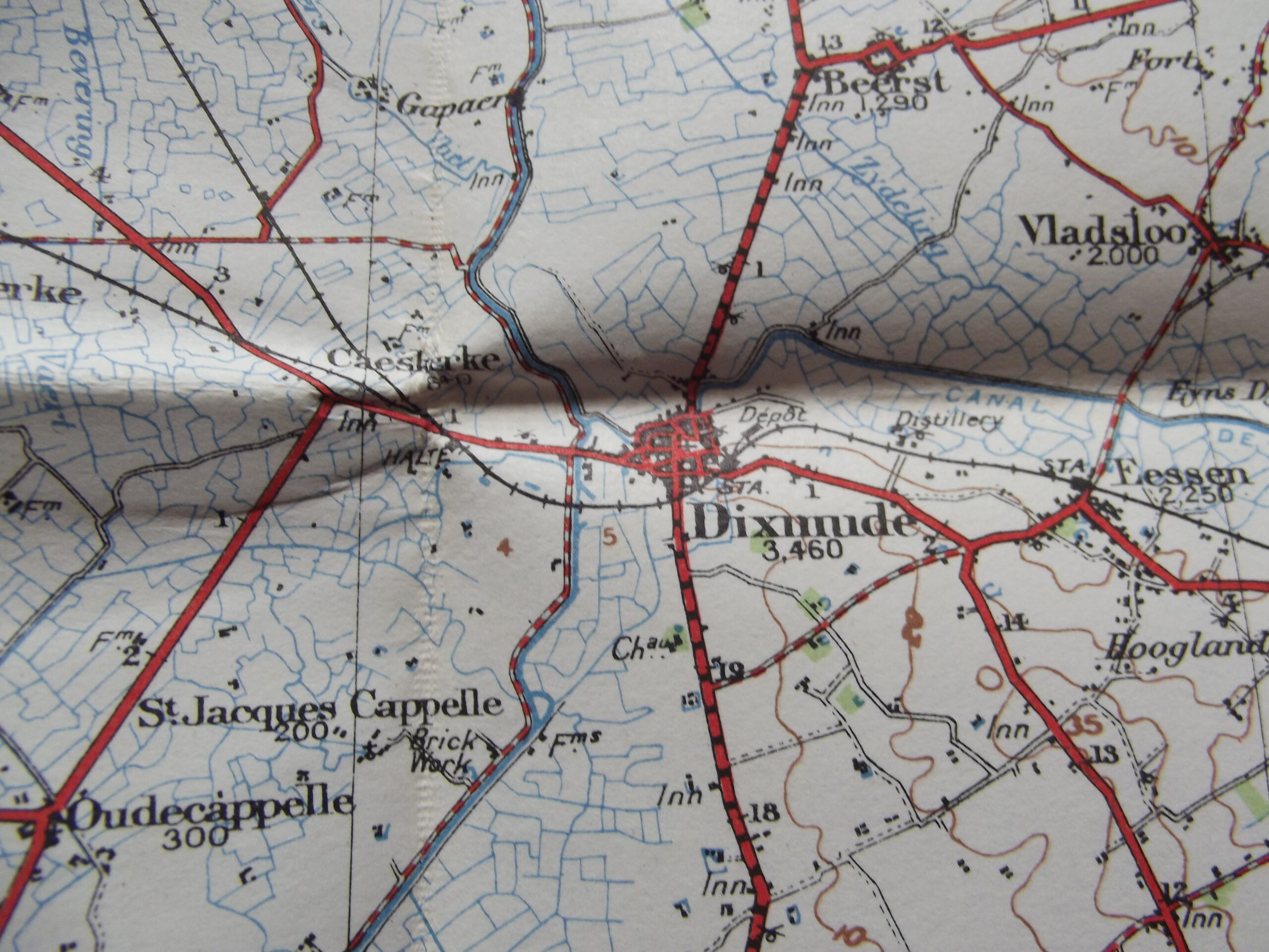
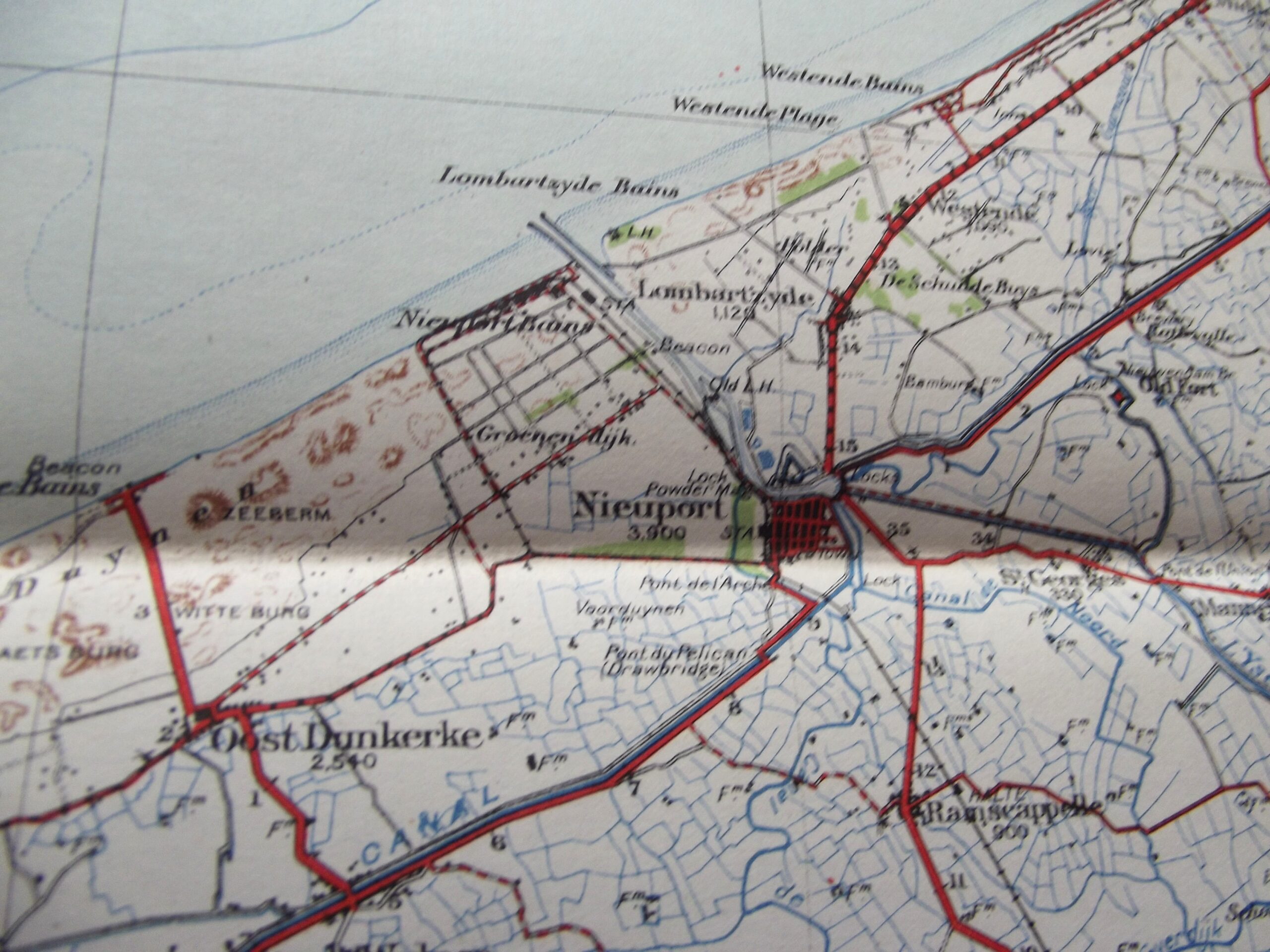
WW1 Cloth backed map of Belgium Ostend in good used condition. The map is dated 1911 with the scale of the map is 1 : 100,000.
The map shows Ypres and other important areas of Flanders.
Please see the photographs for further details.
Additional information
| Weight | 0.2 kg |
|---|
Related products
-

Misc, WW1 British & Allies WW1 1917 DATED CELLULOID MATCH BOX COVER Y.W.C.A WOMEN’S DAY
WW1 Celluloid match box cover for the Y.W.C.A women's day 1917 in good used condition. The cover shows age related wear and tear and has the Y.W.C.A sign showing on the front with a 1917 calendar on the back. The top edge has women's day 1917 printed on the cover, a rare item to find these days. Please see the photographs for further details, free -

Field Equipment, WW1 British & Allies WW1 BRITISH ARMY WEBBING LEWIS GUN MAGAZINE POUCH DATED 1918
WW1 British army webbing Lewis gun magazine pouch in good used condition. The webbing pouch shows signs of use but is complete with no tears or rips it is maker marked for M.W & S Ltd Martin Wright & Sons Ltd with the war department arrow and a date of 1918, the markings are difficult to photograph as they are a little faint and can -

Field Equipment, WW1 British & Allies WW1 BRITISH ARMY WIRECUTTERS DATED 1917
WW1 British army wirecutters in good used condition. The wirecutters are war department arrow marked on both sides and also maker marked on both sides for Chater Lea Ltd with the date 1917 clear to see, the wirecutters show age related colour with a little play in the handles but still fairly tight considering their age. Please see the photographs for further details, free postage -

Misc, WW1 British & Allies METROPOLITAN POLICE LONG SERVICE MEDAL DATED 1914
Metropolitan special constabulary long service medal dated 1914 in good condition. The medal and bar have a bronzed finish with the bar having a makers mark of J.R Gaunt London stamped into the bar, the bar has a pin fitting as per the photographs. Please see the photographs for further detail, free postage for UK customers.