
WW1 LARGE CLOTH BACKED MAP BELGIUM & NORTH WEST FRANCE DATED 1910
WW1 LARGE CLOTH BACKED MAP BELGIUM & NORTH WEST FRANCE DATED 1910
£35.00
Description
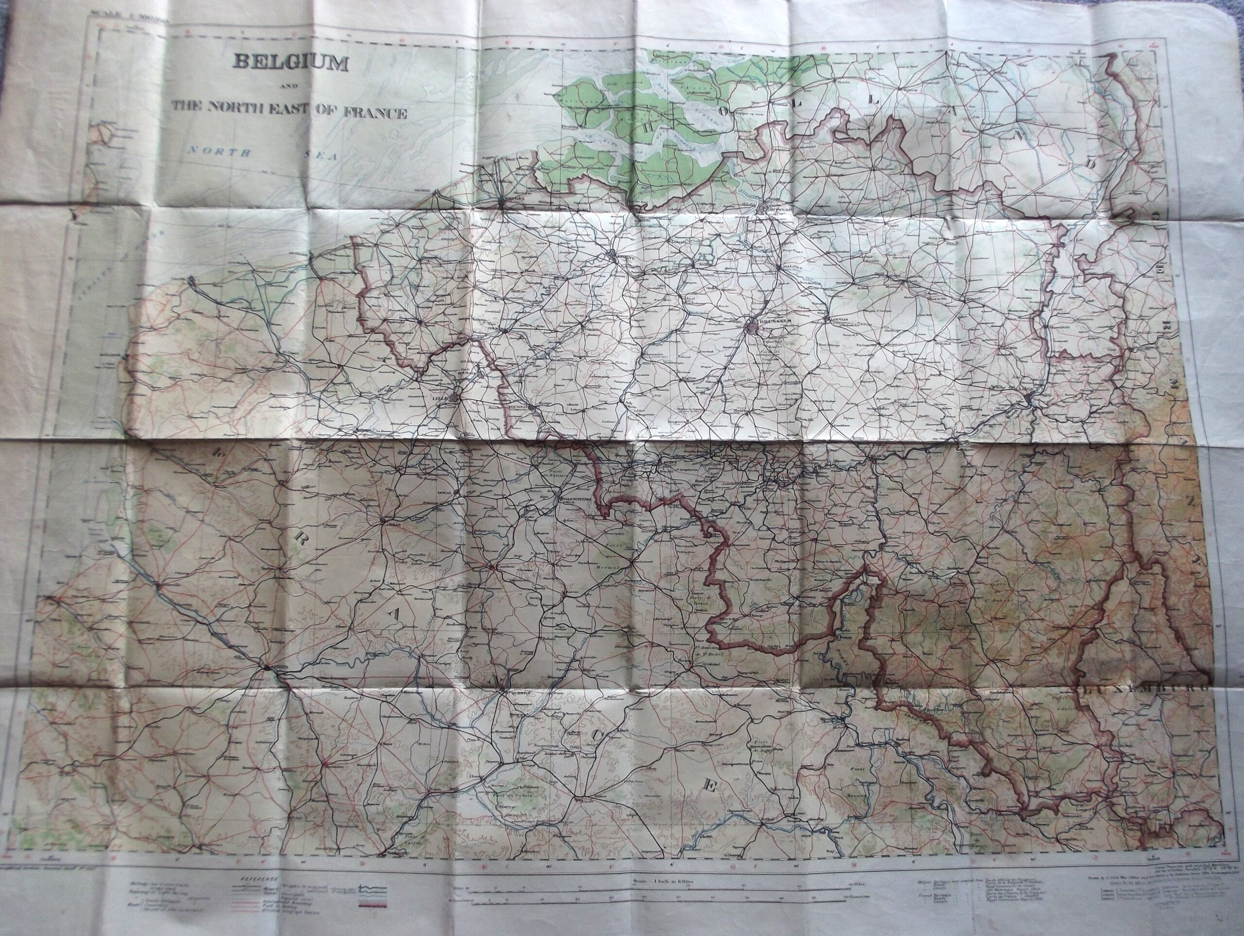
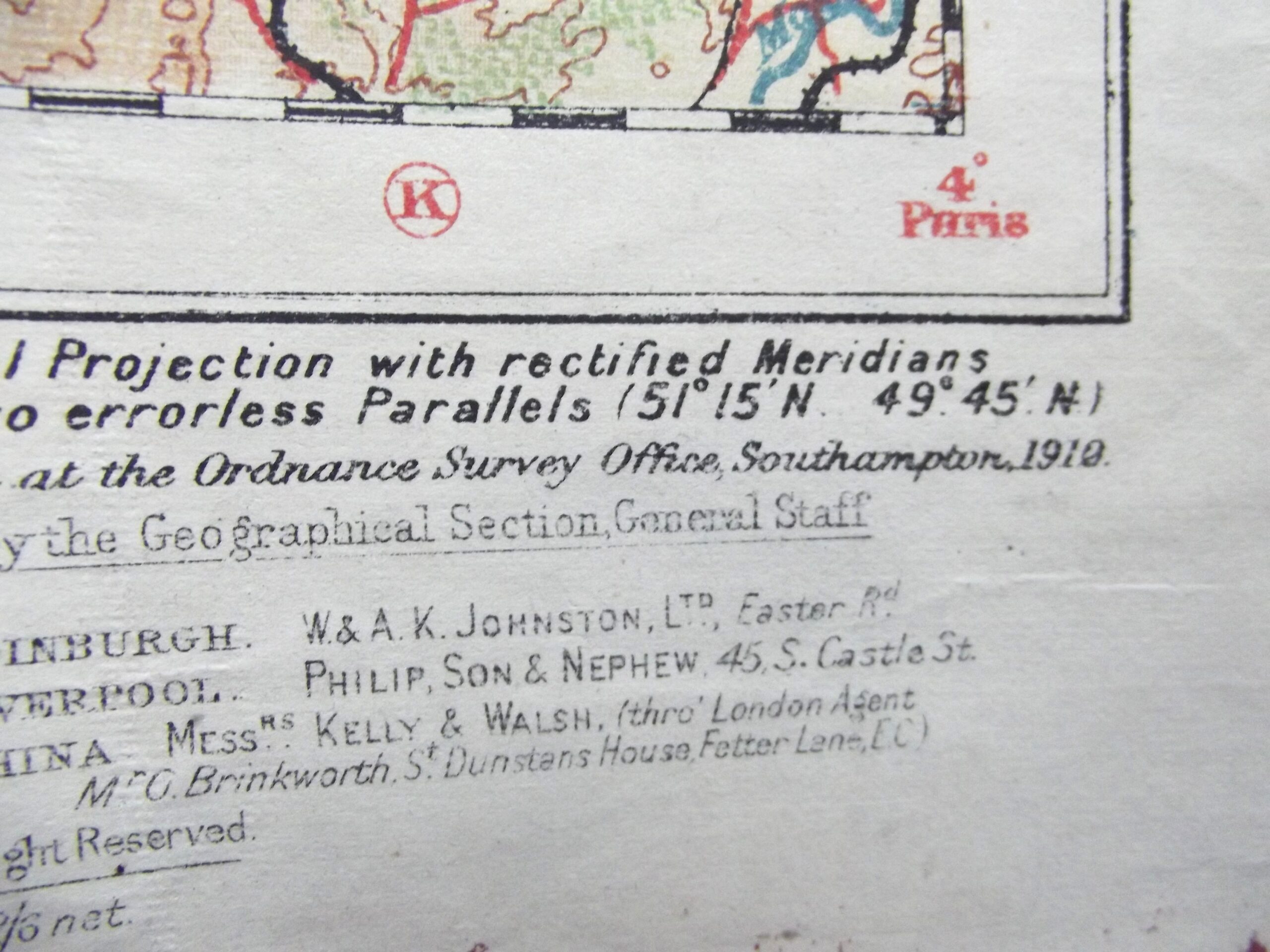
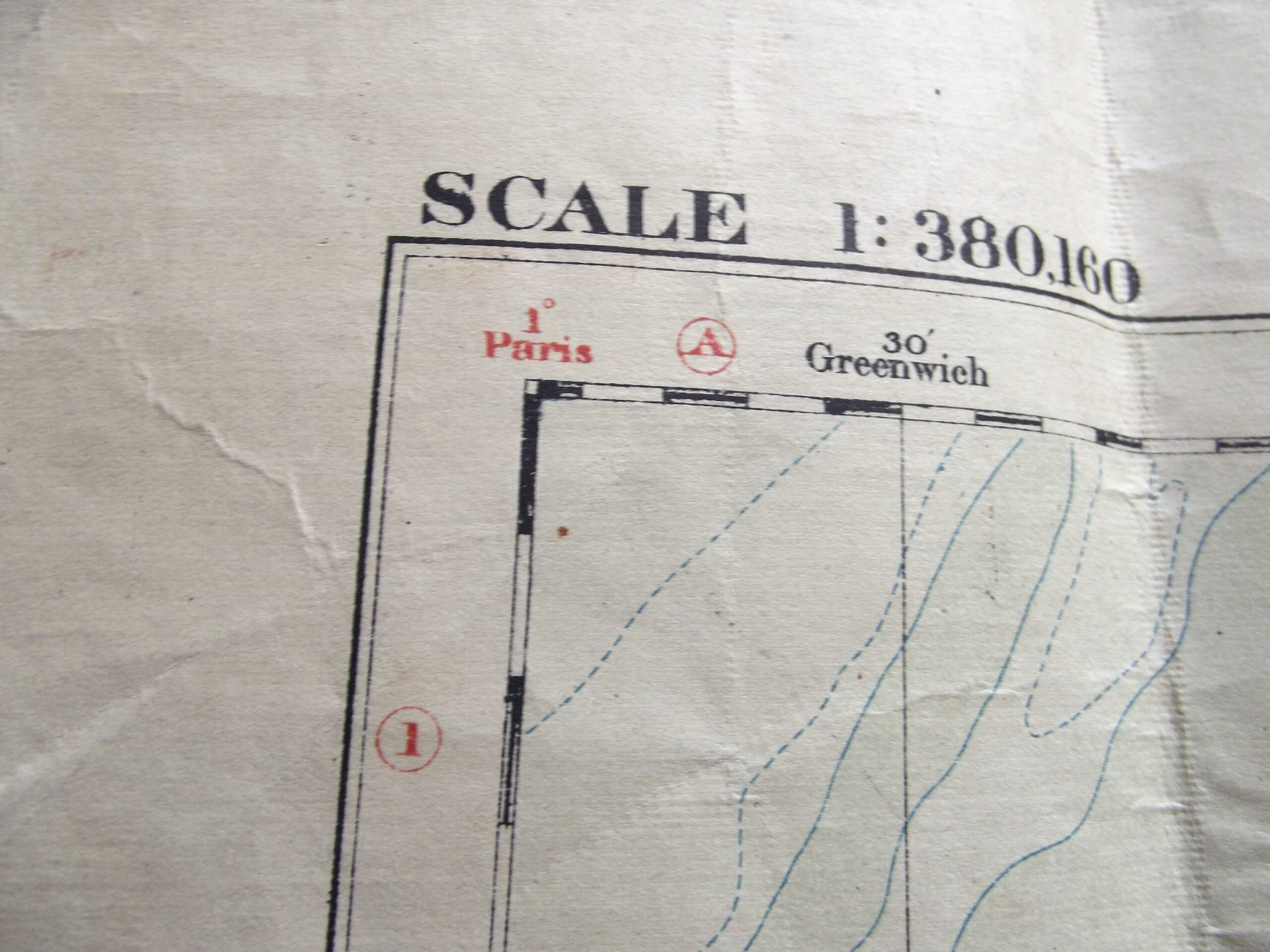
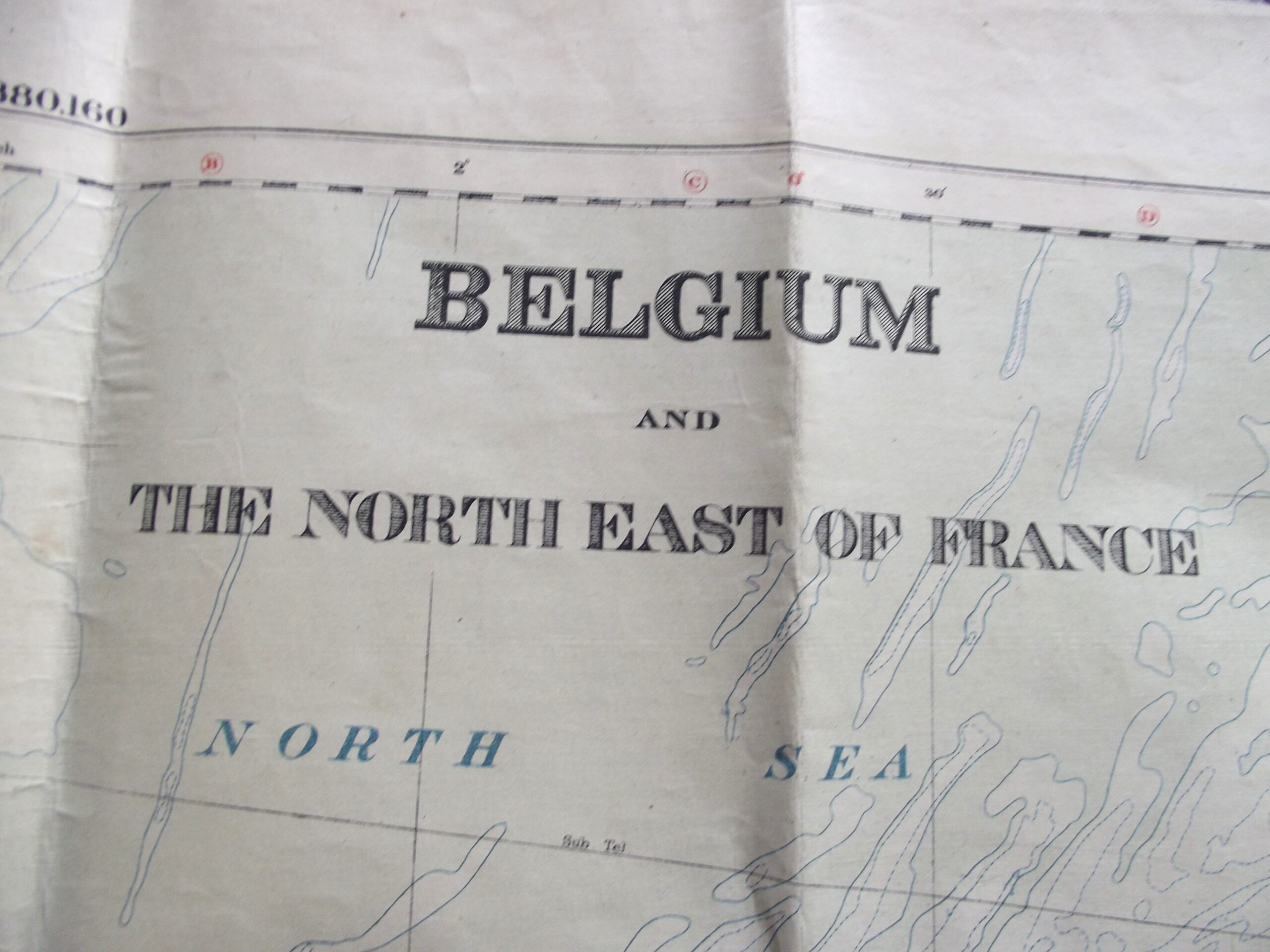
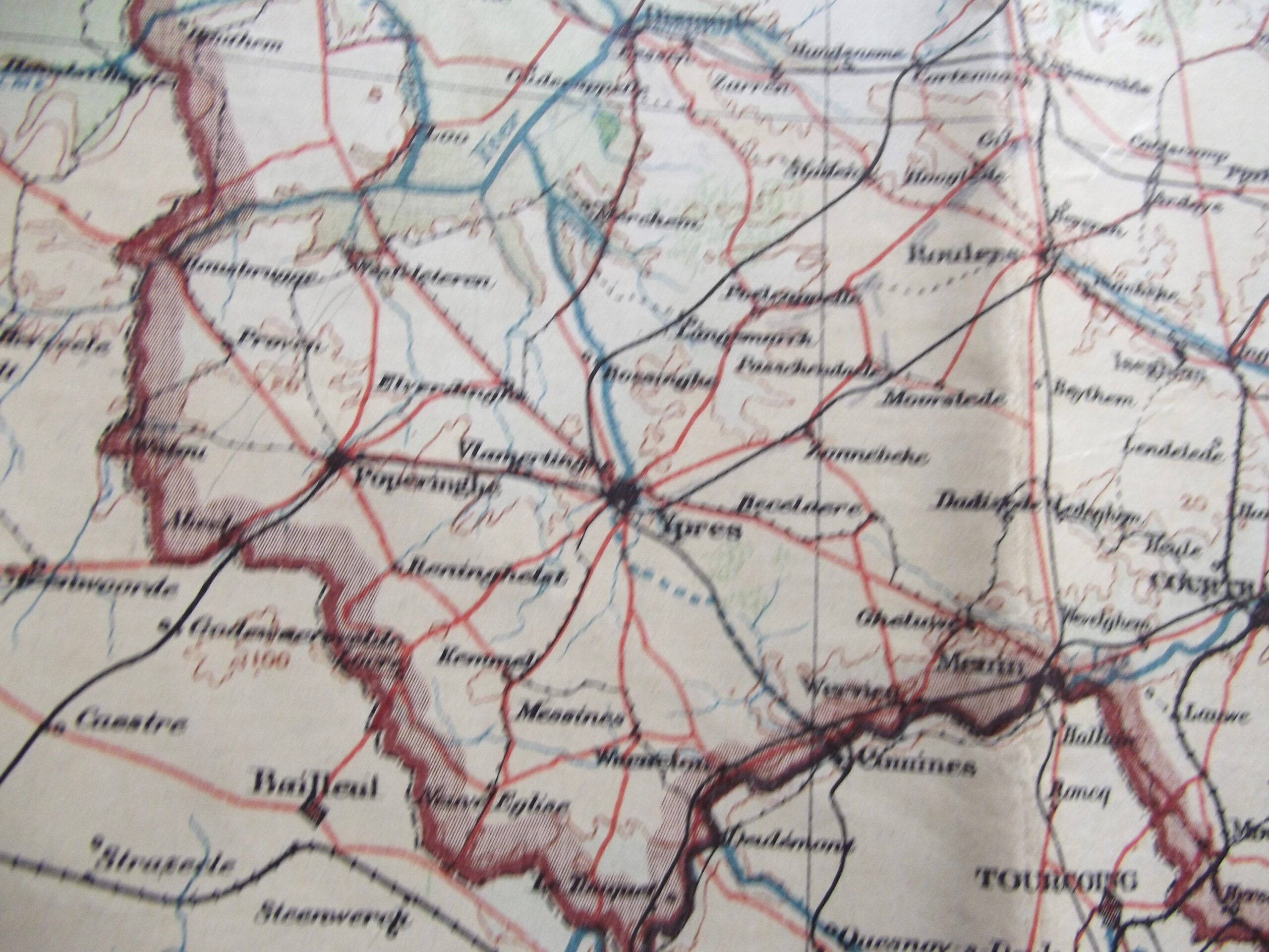
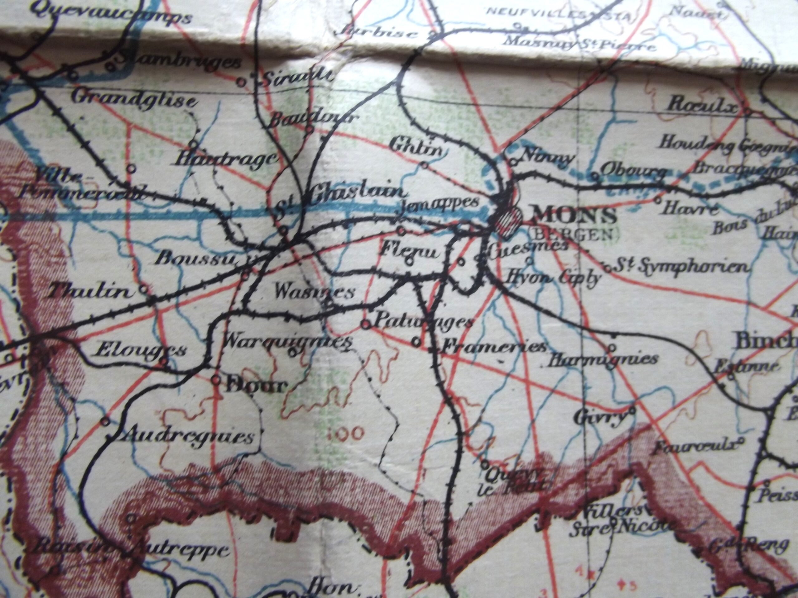
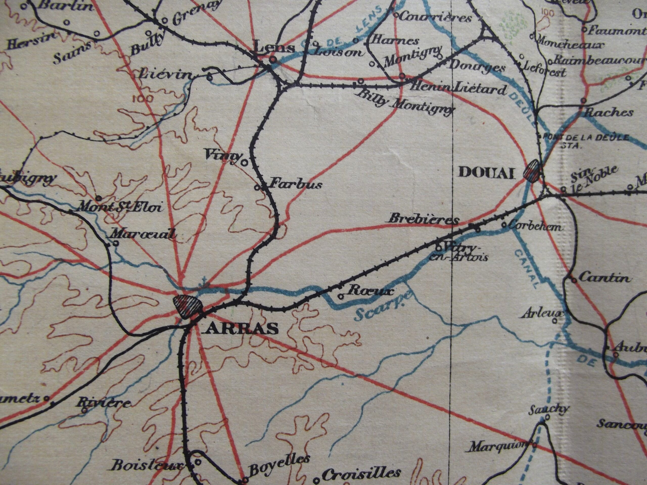
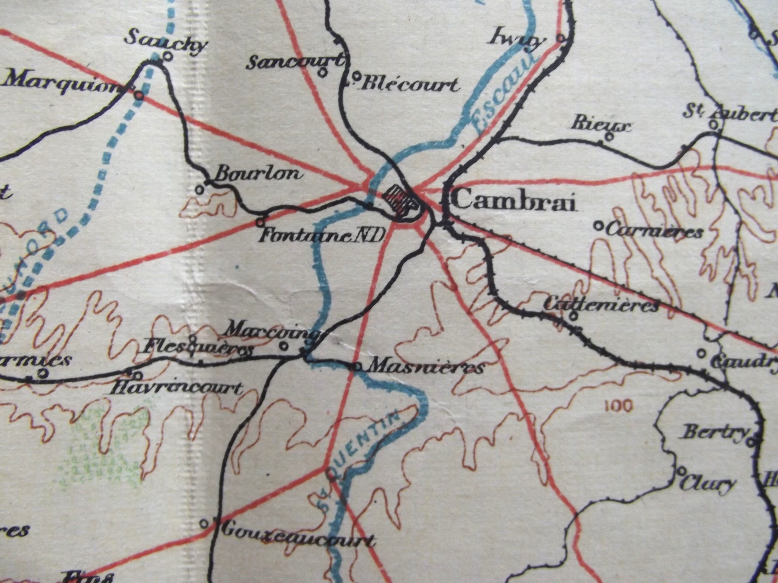
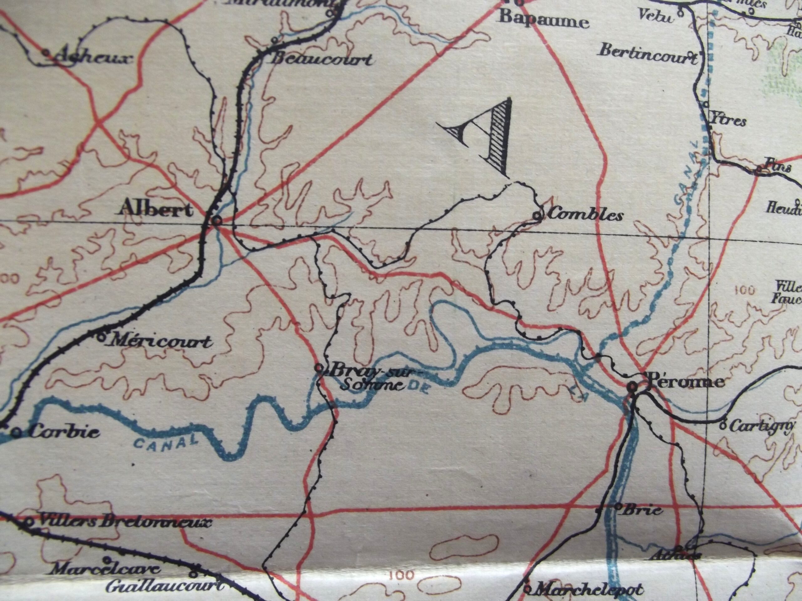
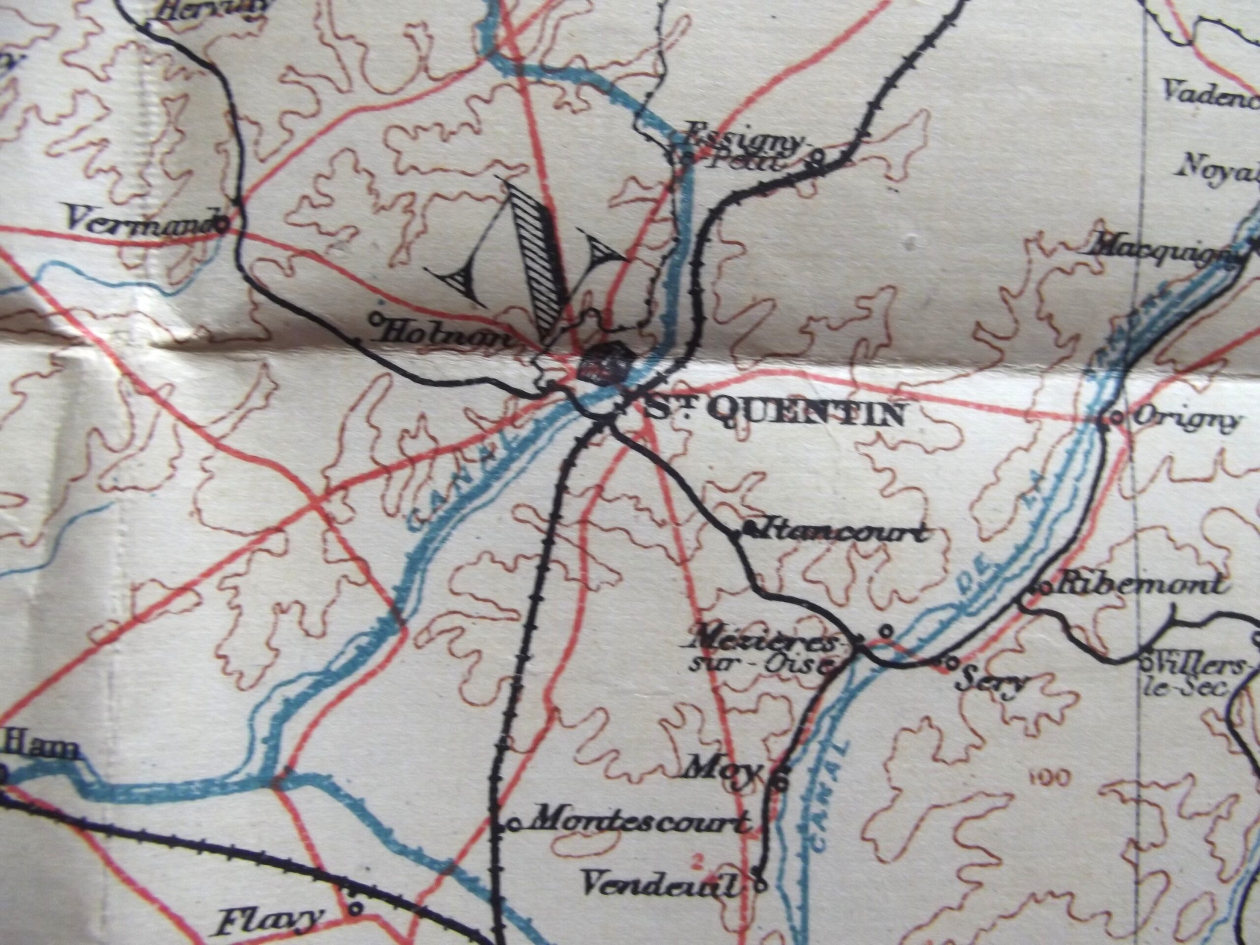
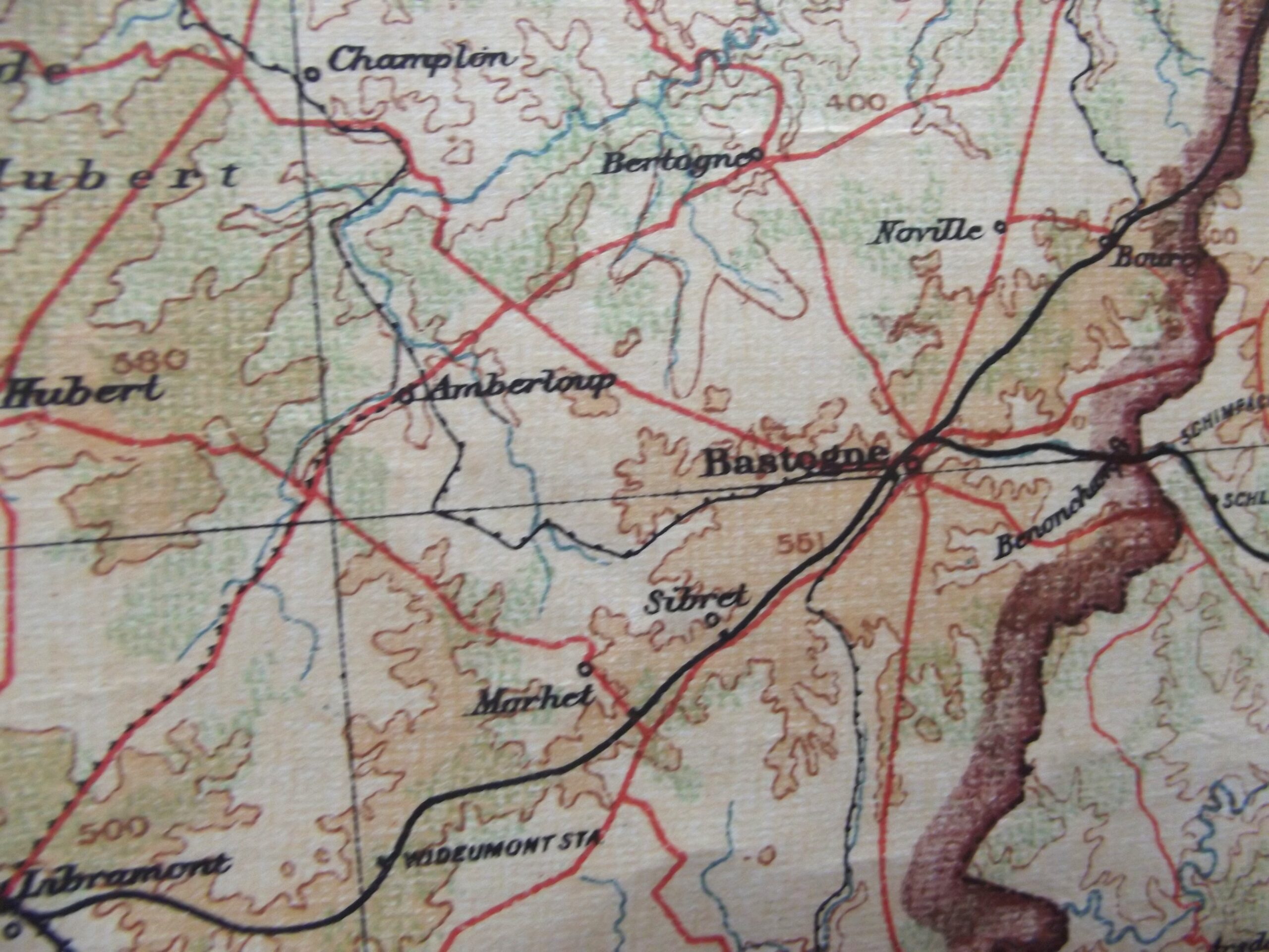
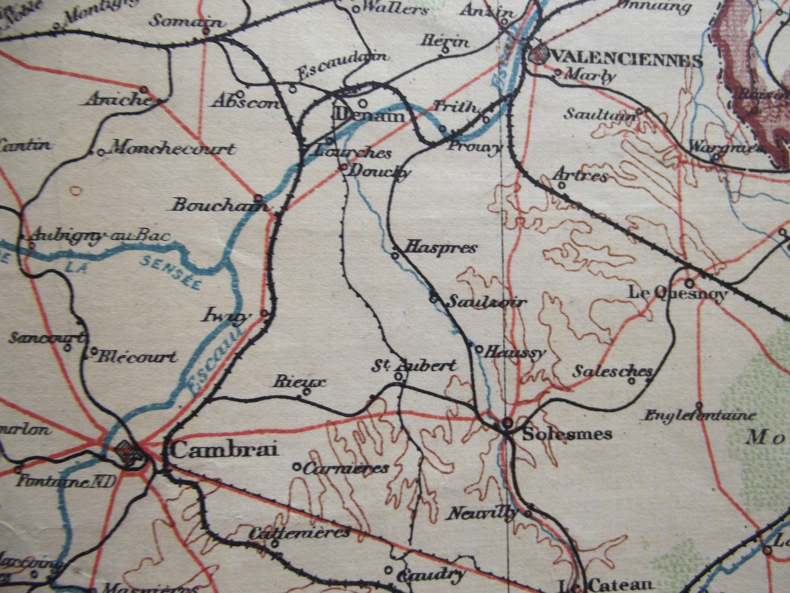
WW1 Large cloth backed map of Belgium and North West France in good used condition. The map is dated 1910 with the scale of the map 1 : 380,160.
The map shows many places that would become very well known from 1914 onwards.
Please see the photographs for further details.
Additional information
| Weight | 0.2 kg |
|---|
Related products
-

Field Equipment, WW1 British & Allies WW1 BRITISH ARMY WIRECUTTERS DATED 1917
WW1 British army wirecutters in good used condition. The wirecutters are war department arrow marked on both sides and also maker marked on both sides for Chater Lea Ltd with the date 1917 clear to see, the wirecutters show age related colour with a little play in the handles but still fairly tight considering their age. Please see the photographs for further details, free postage -

Pre WW1, WW1 British & Allies BOER WAR / WW1 THREE DRAW TELESCOPE DATED 1902
Boer war / WW1 three draw telescope in good working condition. The telescope is three draw out sections so when extended it has four parts which are all a good tight fit with no play in them the first section is maker marked for L Casella London with the war department arrow and the letter I underneath for Indian army issue it is clearly dated -

Field Equipment, WW1 British & Allies WW1 BRITISH ARMY WEBBING LEWIS GUN MAGAZINE POUCH DATED 1918
WW1 British army webbing Lewis gun magazine pouch in good used condition. The webbing pouch shows signs of use but is complete with no tears or rips it is maker marked for M.W & S Ltd Martin Wright & Sons Ltd with the war department arrow and a date of 1918, the markings are difficult to photograph as they are a little faint and can -

Pre WW1, WW1 British & Allies VICTORIAN LEATHER BELT AND BUCKLE SILVER NICKEL FITTINGS
Victorian silver nickel buckle and leather belt in good used condition. The leather belt shows age with signs of use with the belt having had a couple of score marks to the leather finish they are only on the surface with the belt still complete and useable for display. The leather belt has several holes which look to have had some form of decoration with