
WW1 LARGE CLOTH BACKED MAP BELGIUM & NORTH WEST FRANCE DATED 1910
WW1 LARGE CLOTH BACKED MAP BELGIUM & NORTH WEST FRANCE DATED 1910
£35.00
Description
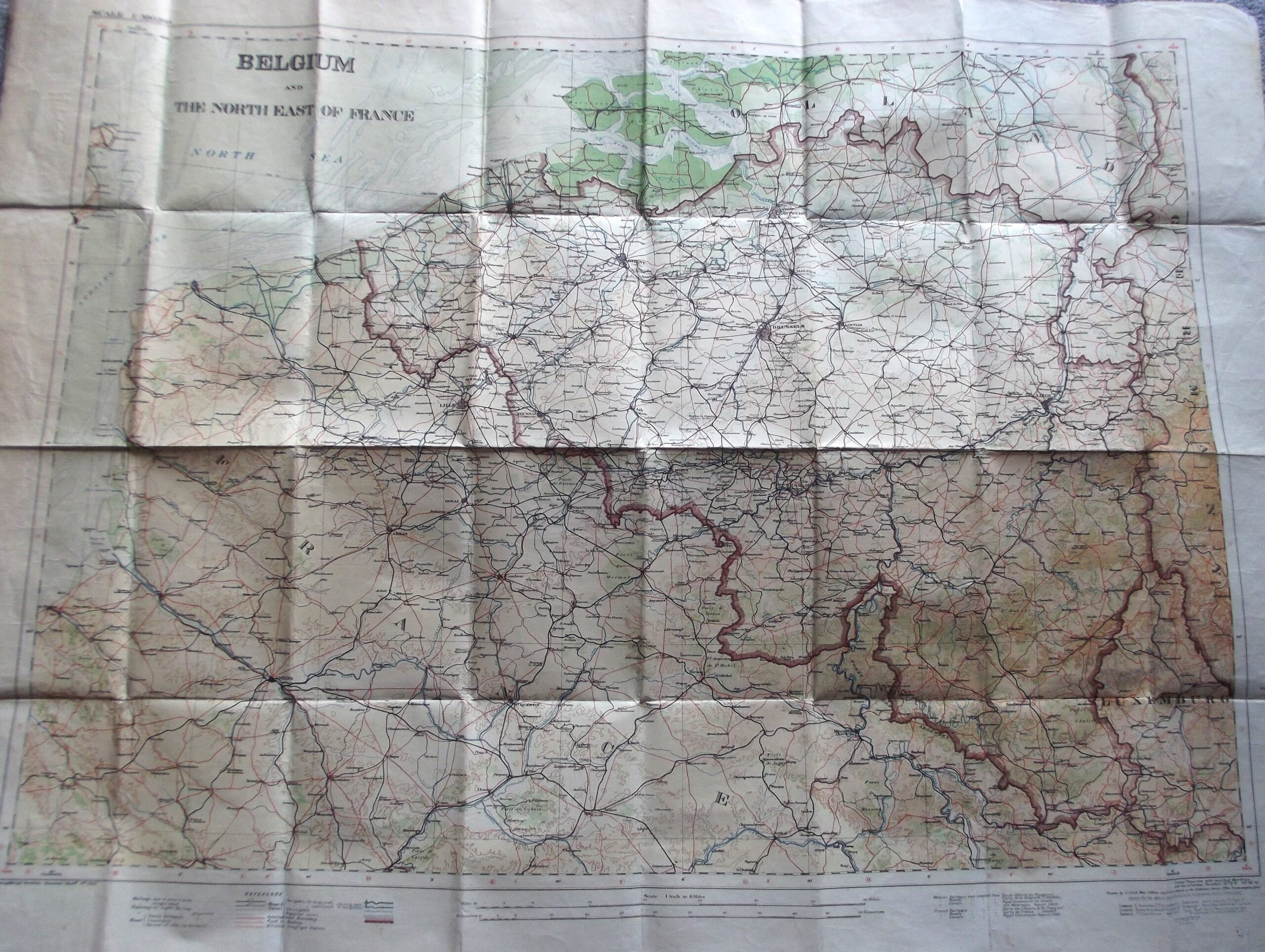
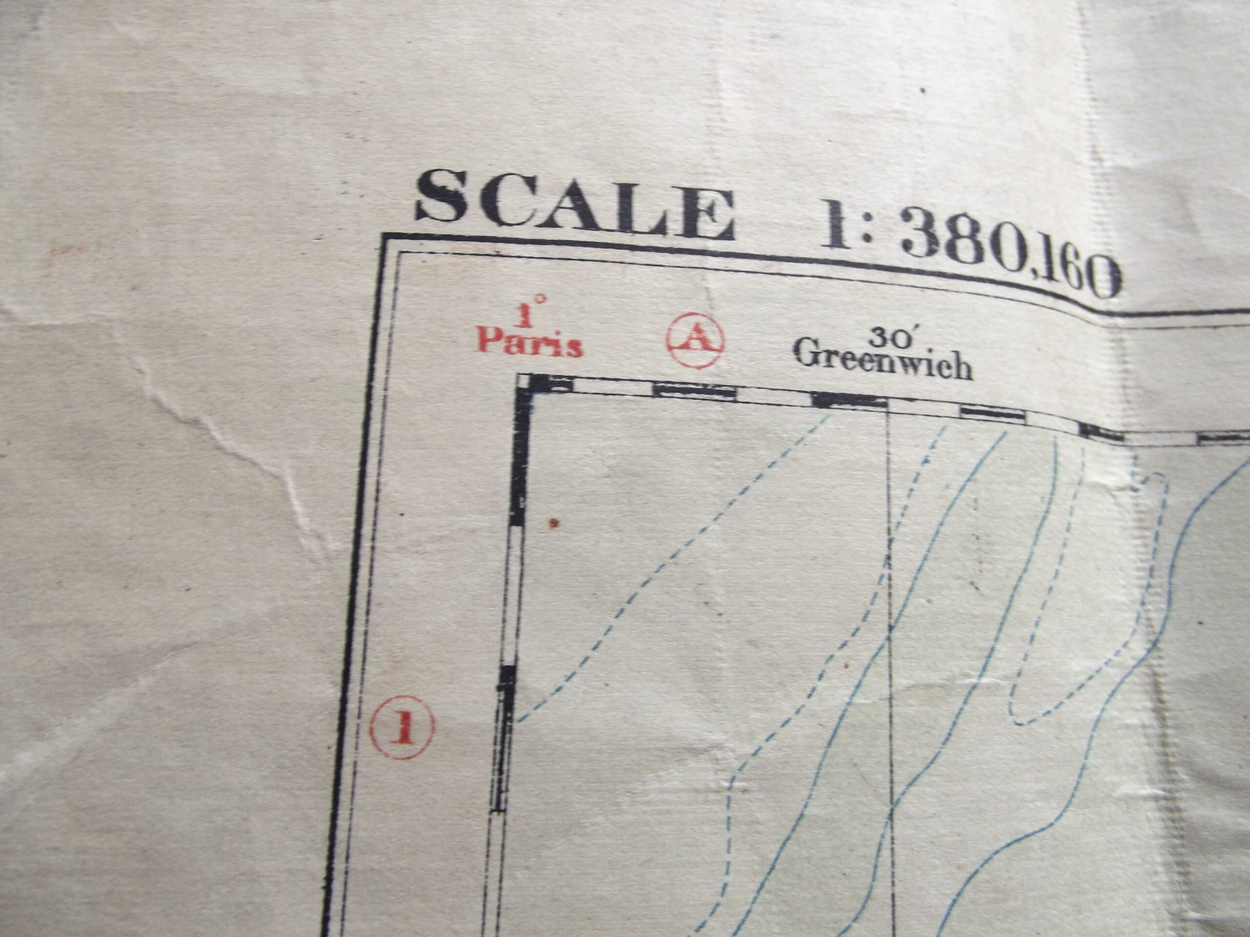
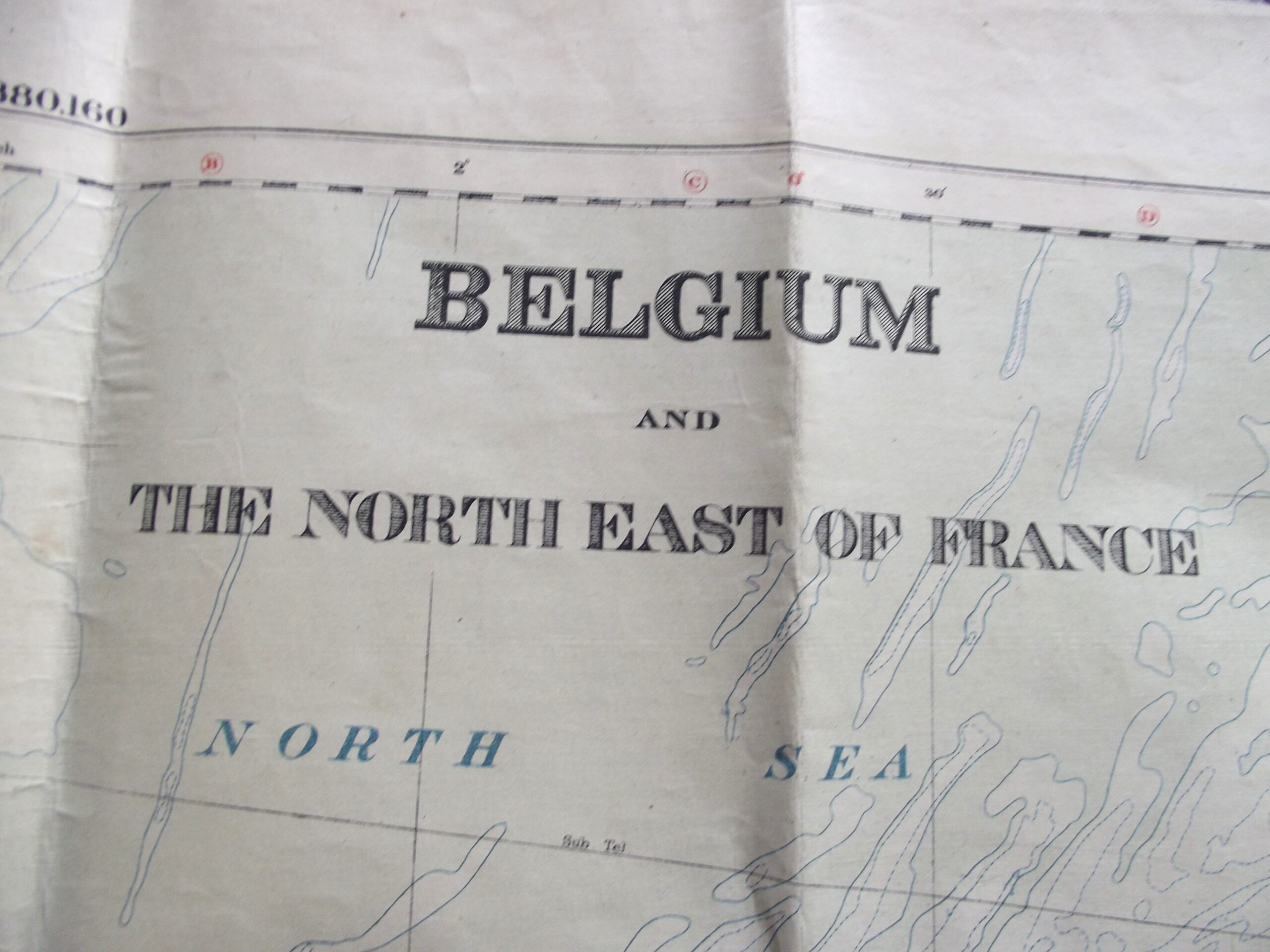
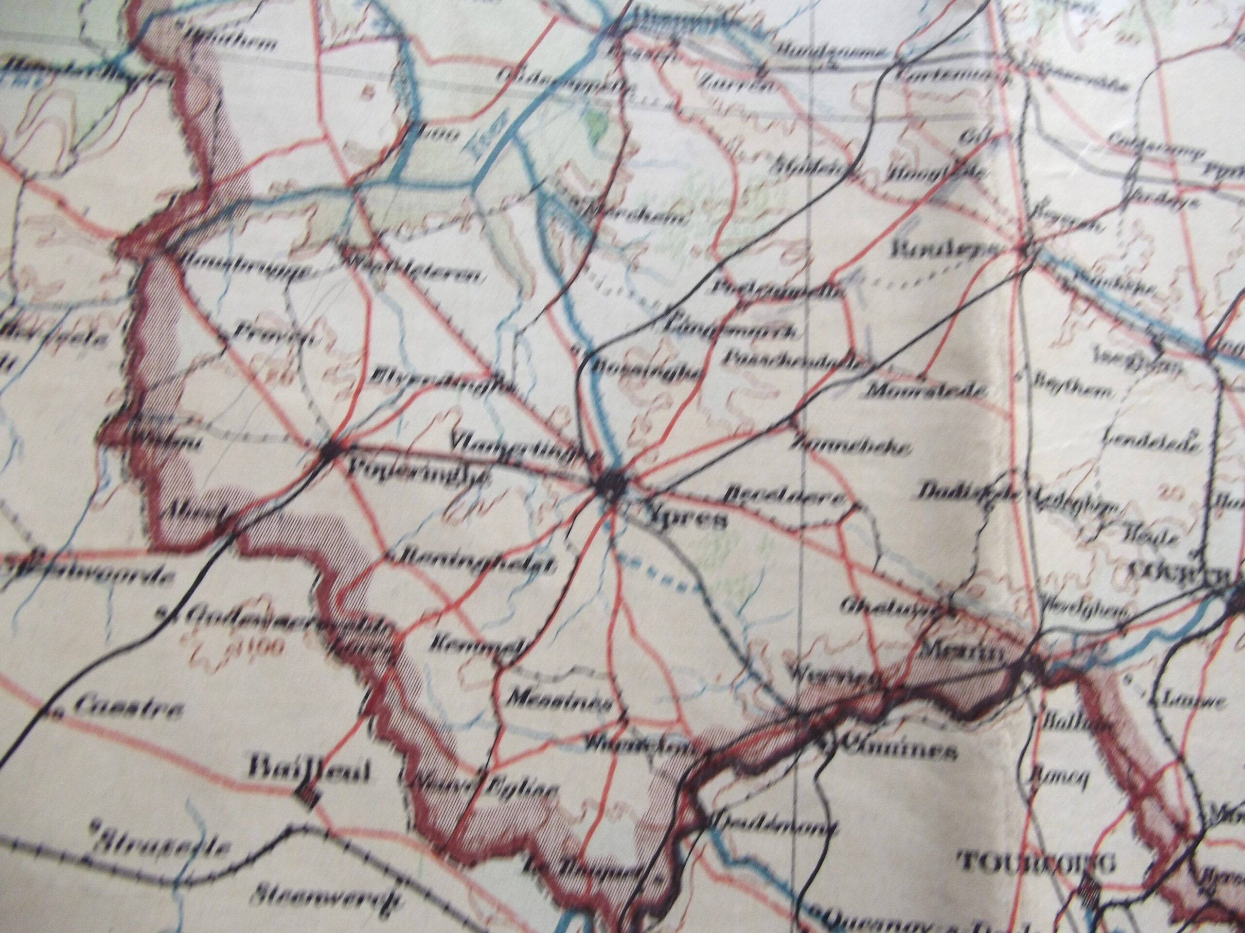
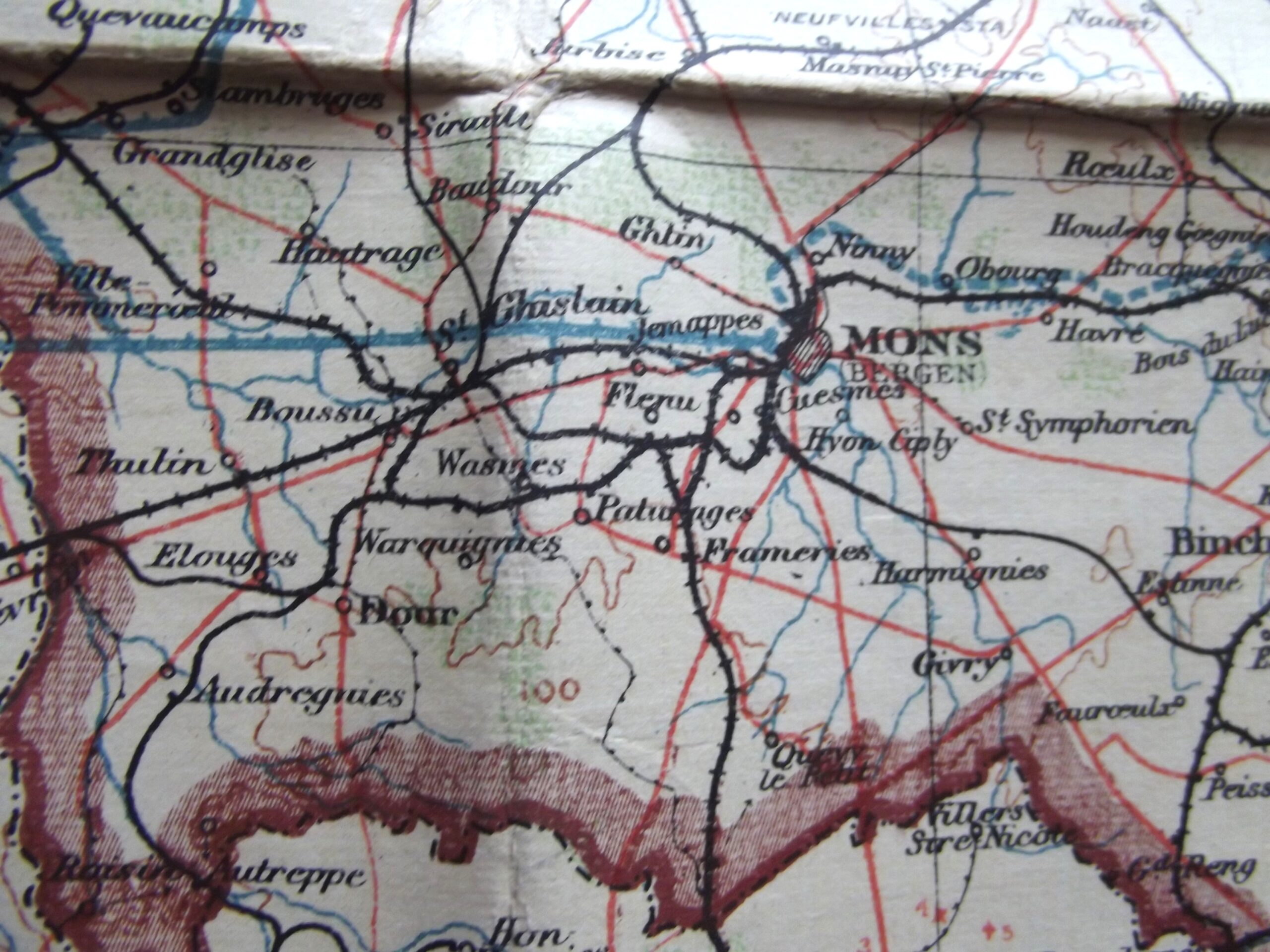
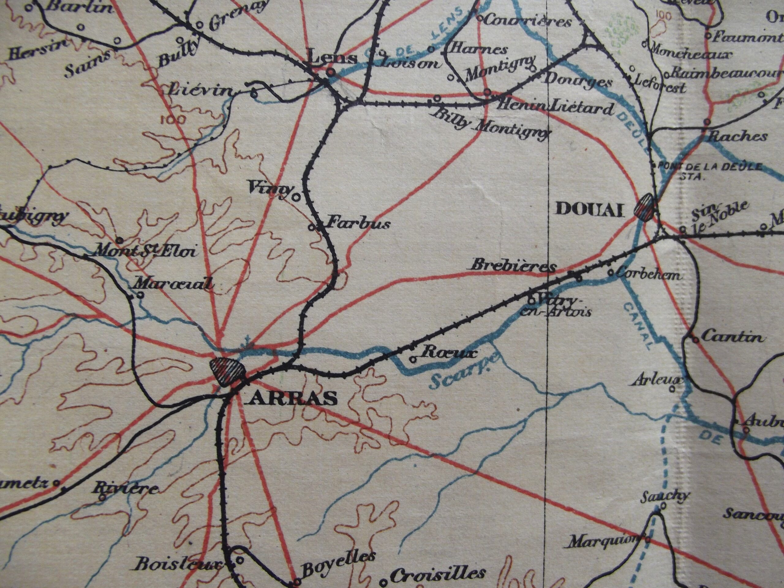
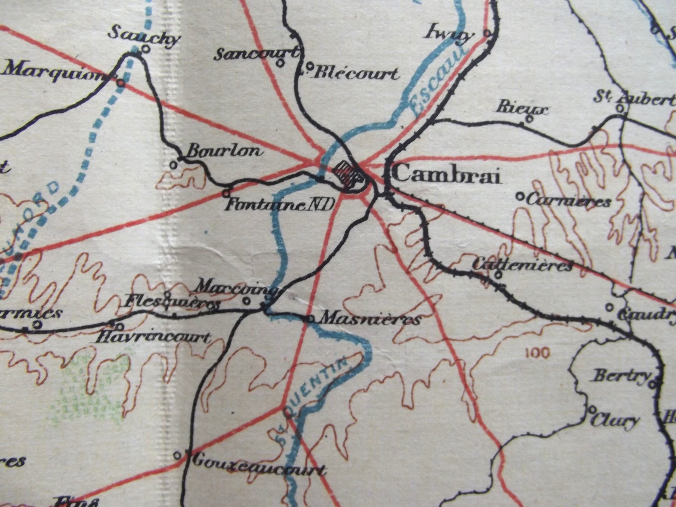
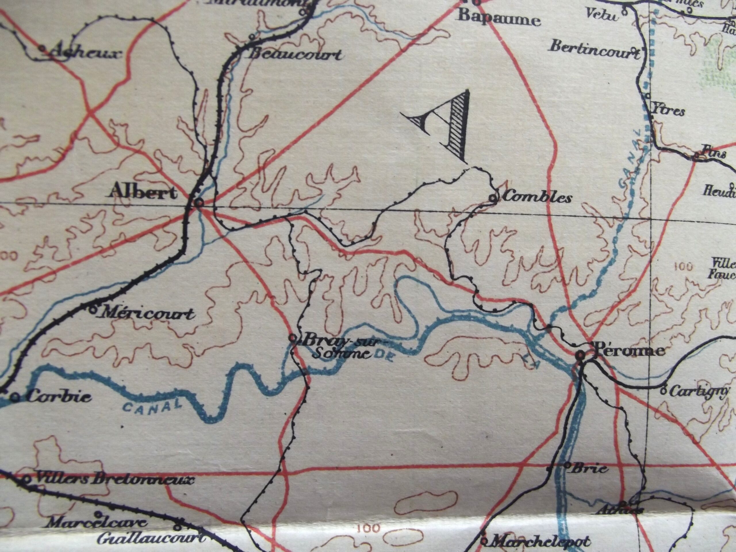
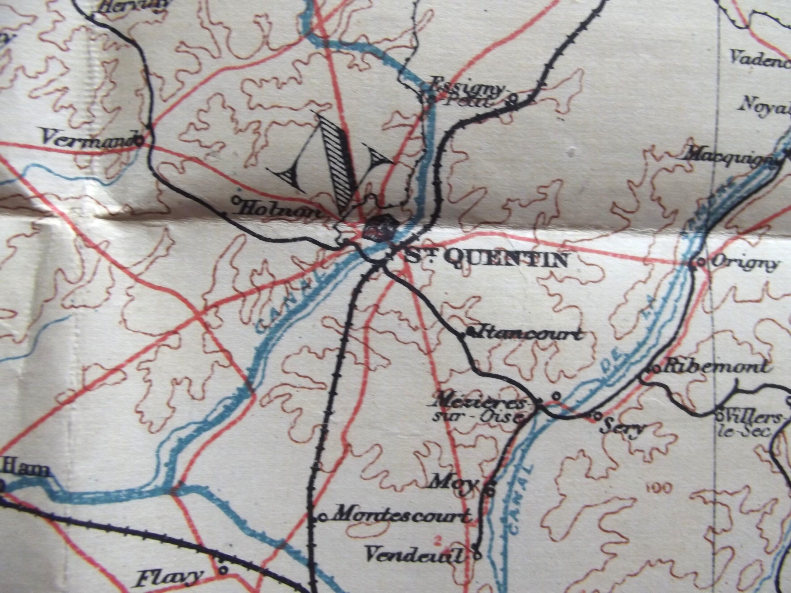
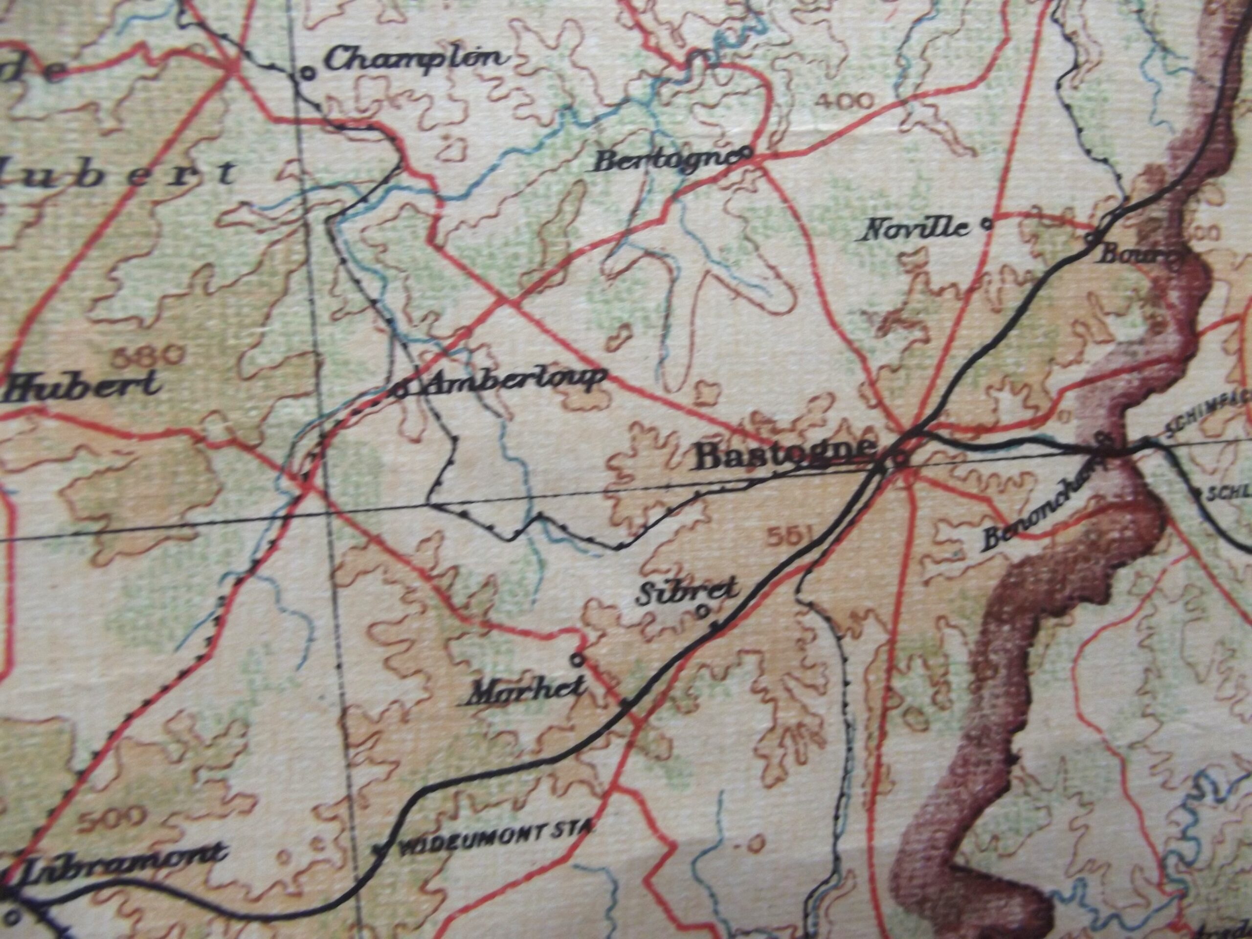
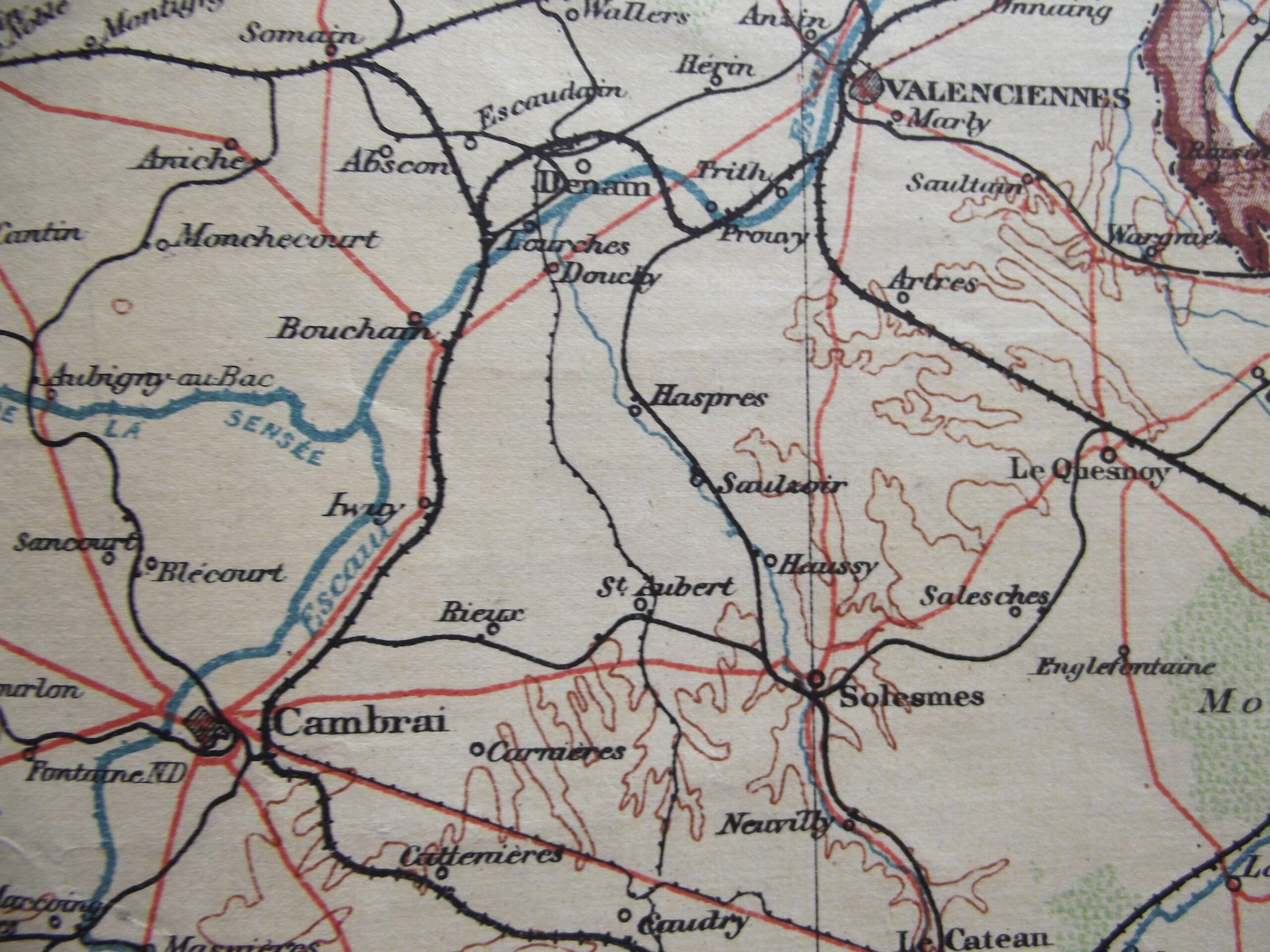
WW1 Large cloth backed map of Belgium and North West France in good used condition. The map is dated 1910 with the scale of the map 1 : 380,160.
The map shows many places that would become very well known from 1914 onwards.
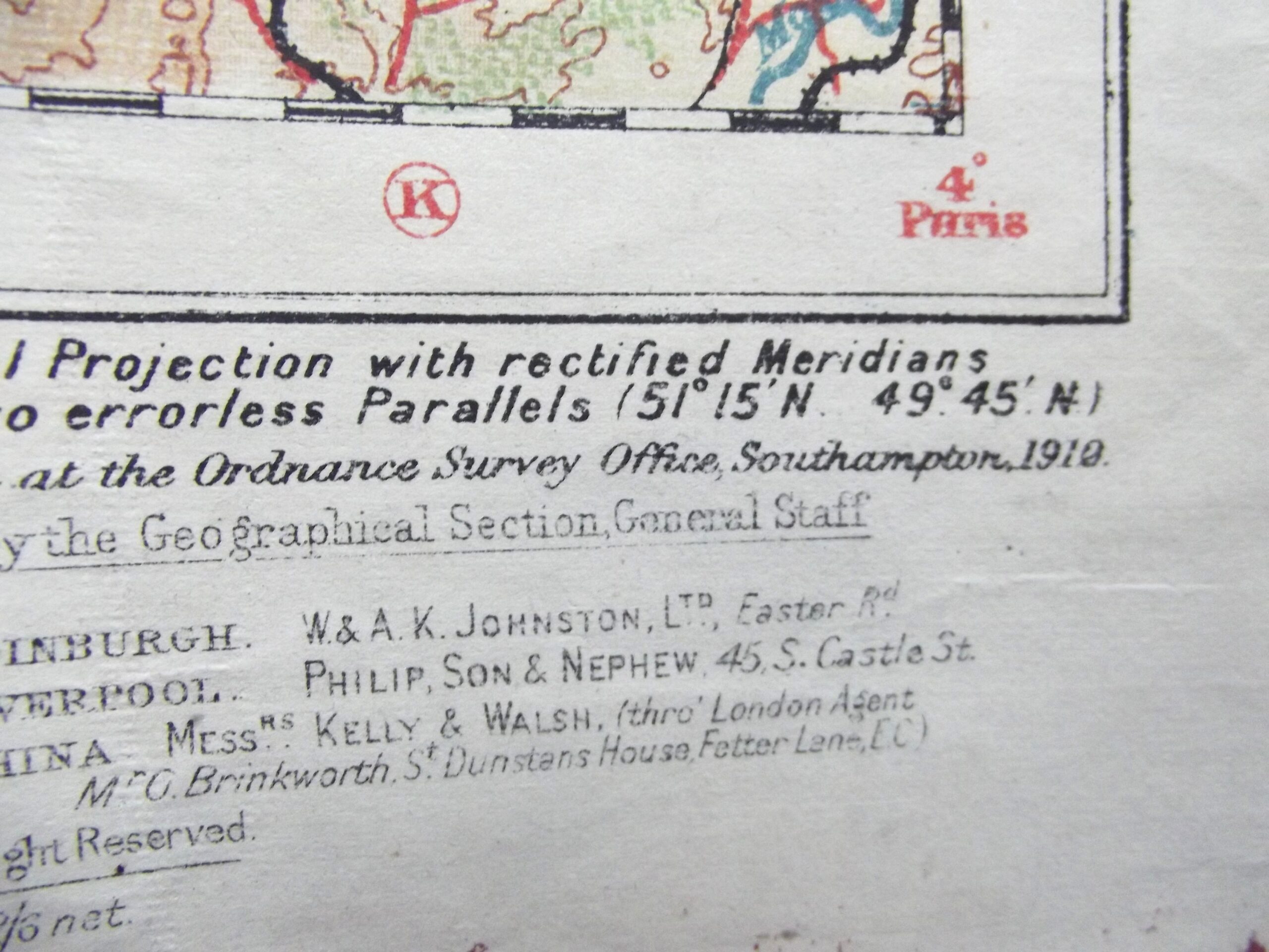
Please see the photographs for further details.
Additional information
| Weight | 0.2 kg |
|---|
Related products
-

British & Allies Badges, Misc, WW1, WW1 British & Allies WW1 ROYAL WEST KENT OFFICERS BRONZE CAP BADGE
WW1 Royal West Kent officers cap badge in good used condition. The cap badge has its fixing straps in place on the back of the badge and shows age related wear. Please see the photographs for further detail, free postage to UK customers. -

Misc, WW1 British & Allies METROPOLITAN POLICE LONG SERVICE MEDAL DATED 1914
Metropolitan special constabulary long service medal dated 1914 in good condition. The medal and bar have a bronzed finish with the bar having a makers mark of J.R Gaunt London stamped into the bar, the bar has a pin fitting as per the photographs. Please see the photographs for further detail, free postage for UK customers. -

Medals & Awards, WW1 British & Allies WW1 FRENCH CROIX DE GUERRE MEDAL & RIBBON & BRONZE STAR
WW1 French Croix de guerre medal and ribbon with a bronze star in good used condition. The medal shows good age related colour with its original ribbon which has a bronze star for mentioned in dispatches at Brigade level, the medal was instituted in April 1915 for award to those mentioned in dispatches. Please see the photographs for further details, free postage for UK customers. -

Pre WW1, WW1 British & Allies BOER WAR/WW1 OFFICERS SAM BROWN BELT WILKINSON LONDON
Boer war/WW1 Officers Sam Brown belt in good used condition. The belt is maker marked for Wilkinson Pall Mall London this can be clearly seen in the photographs, the leather belt has all its brass fittings in place and they have consistent age related colour. The leather is supple and has age related crazing showing, the belt is a classic example of a Boer war