
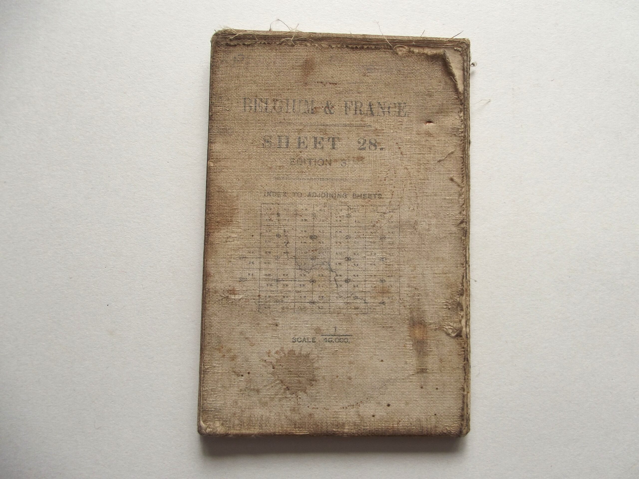
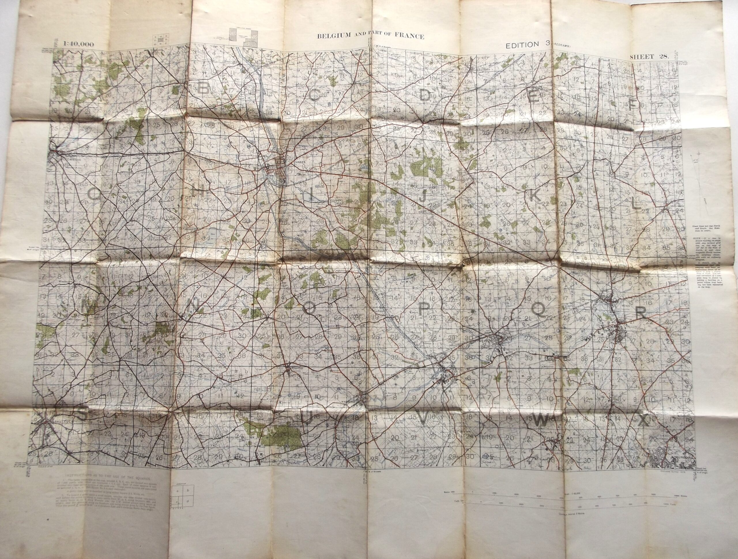
WW1 CLOTH BACKED MAP OF BELGIUM & FRANCE SHEET 28 EDITION 3 DATED 1916


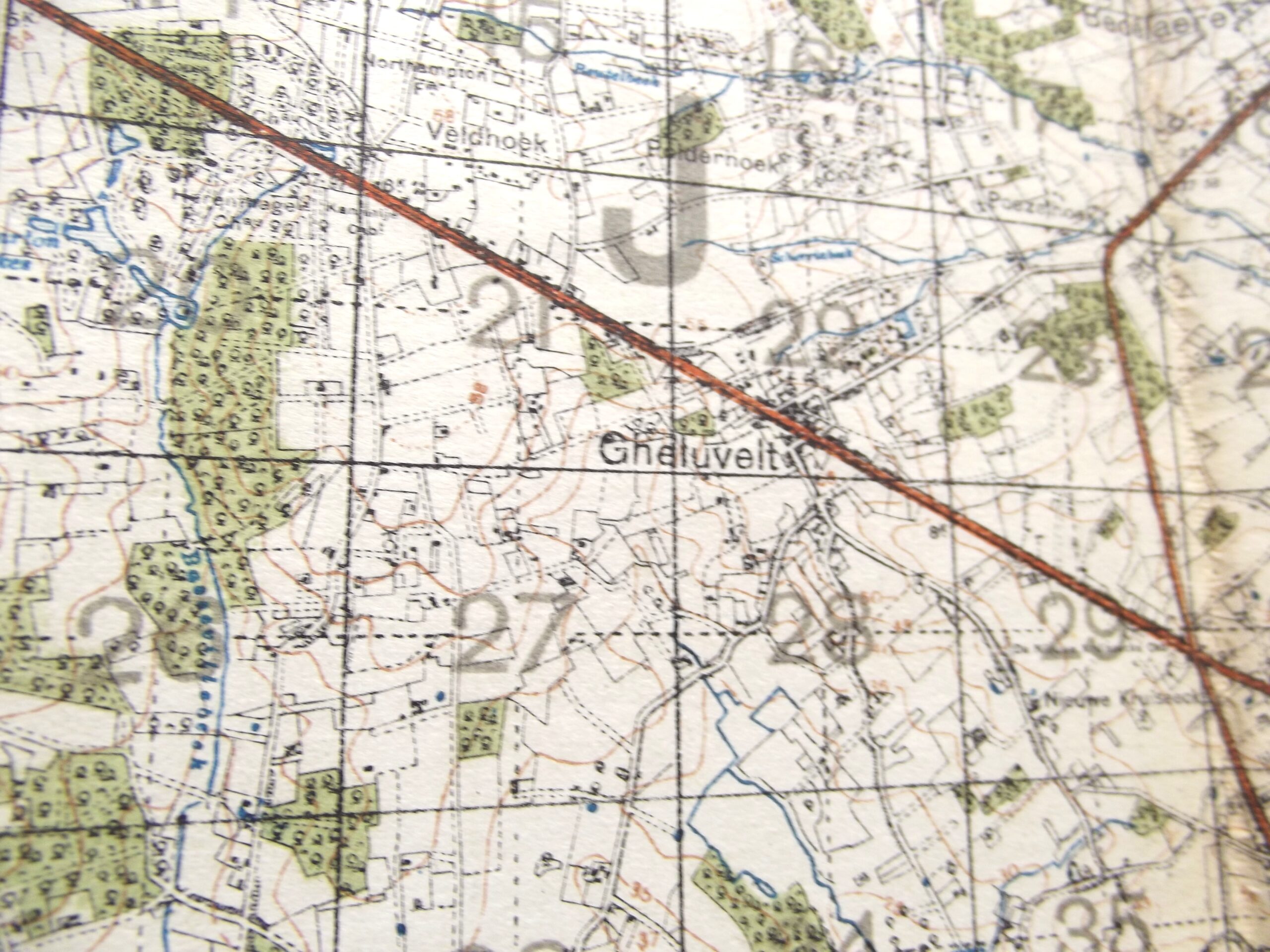
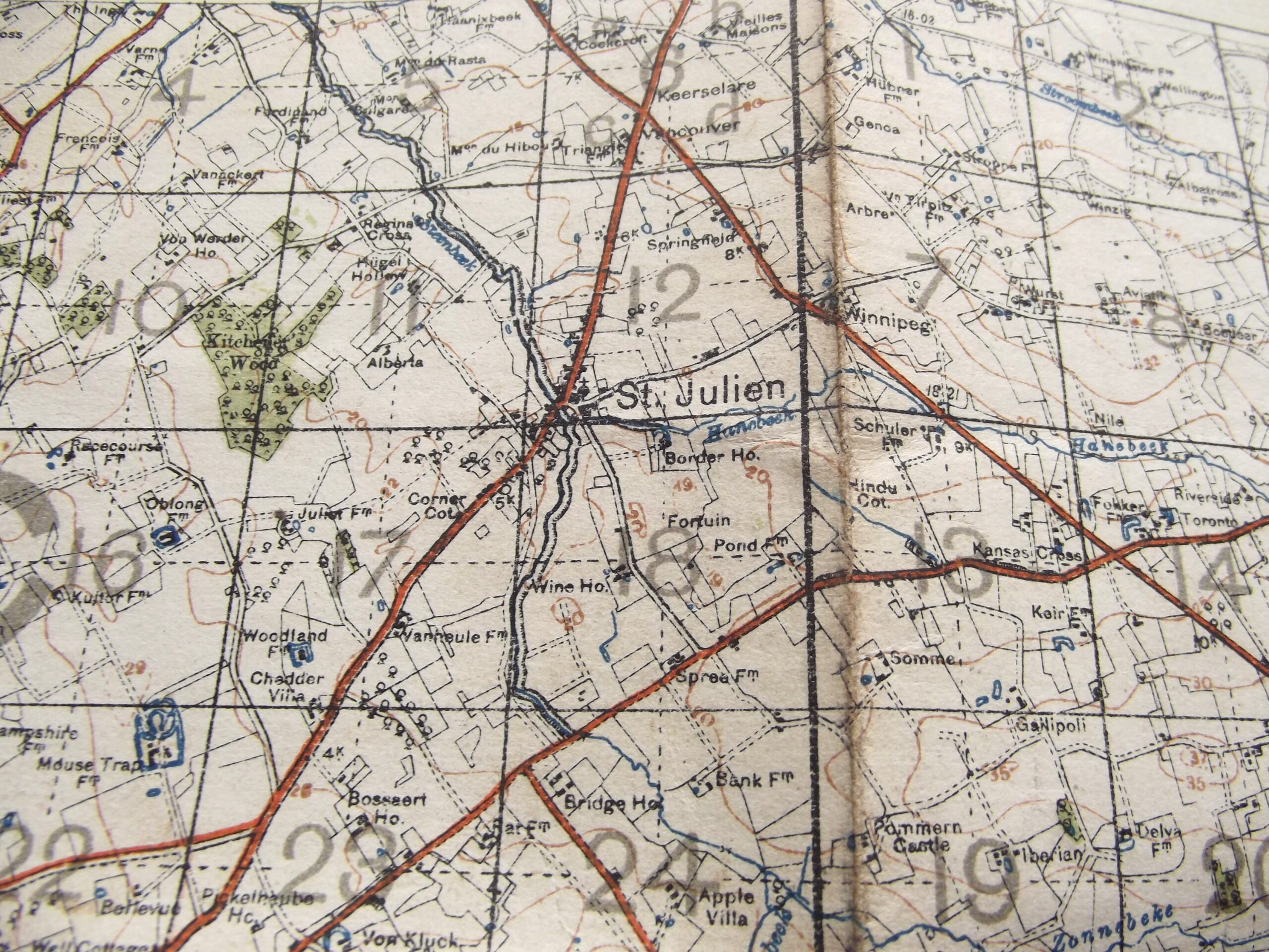
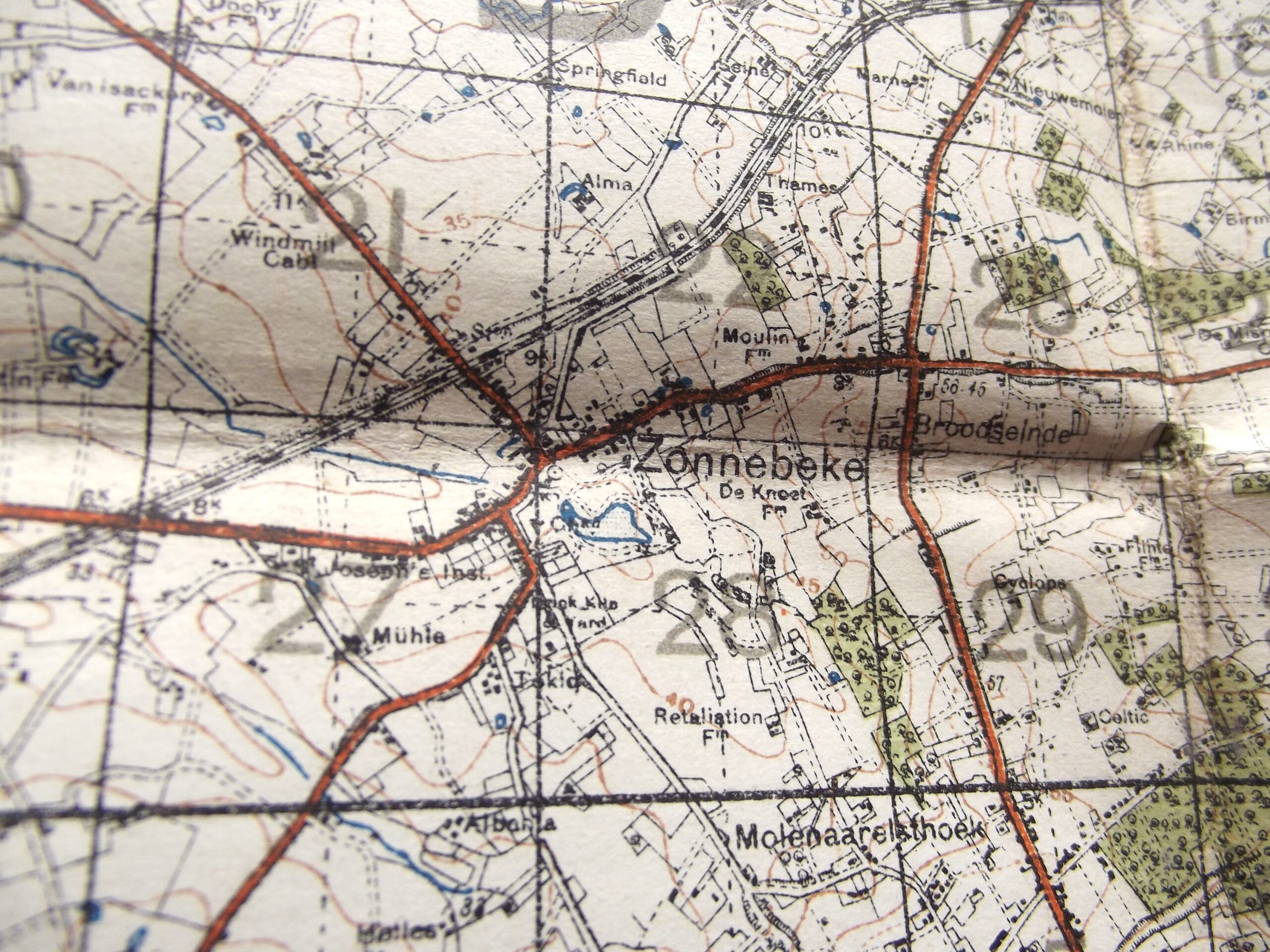
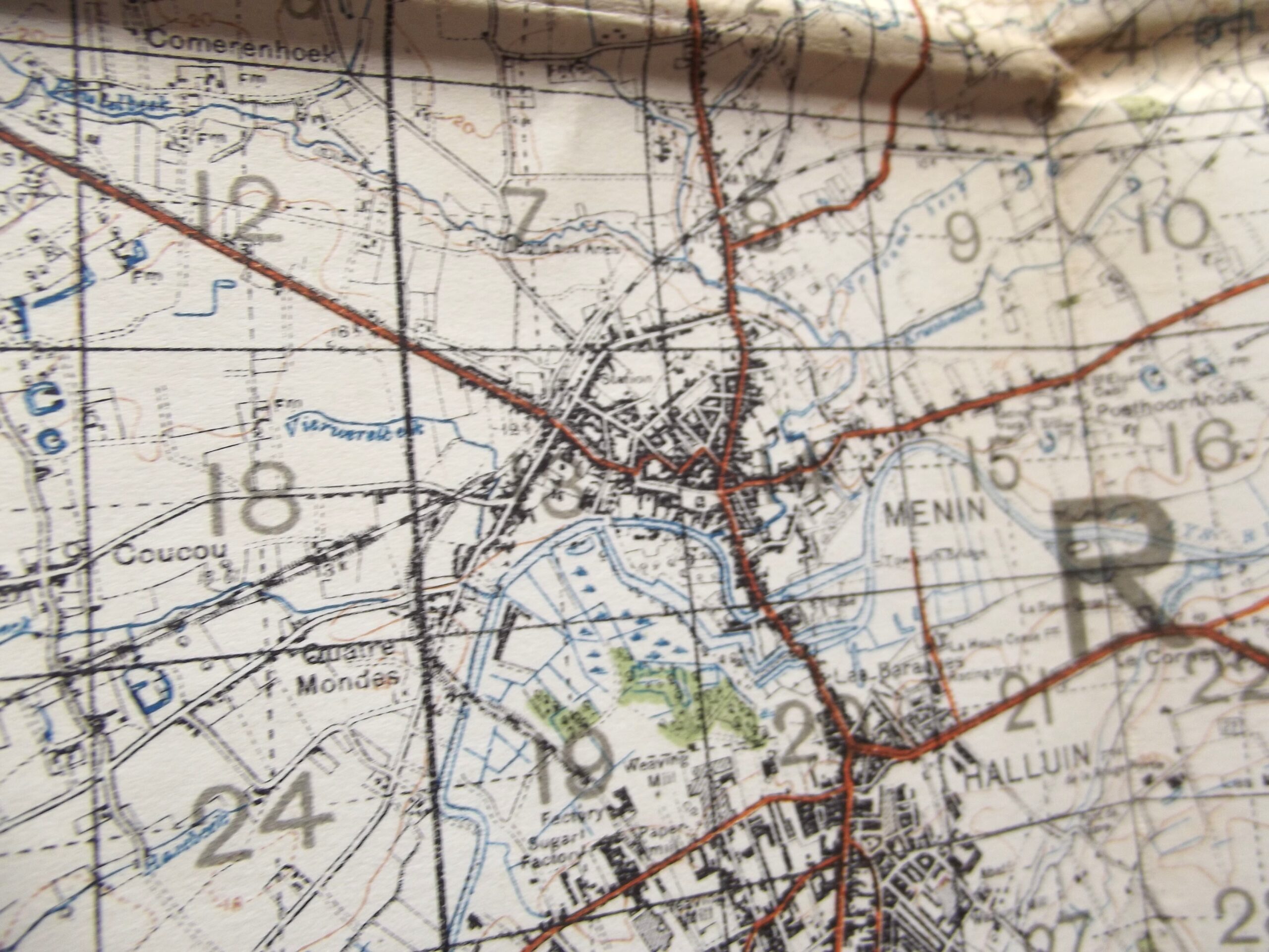
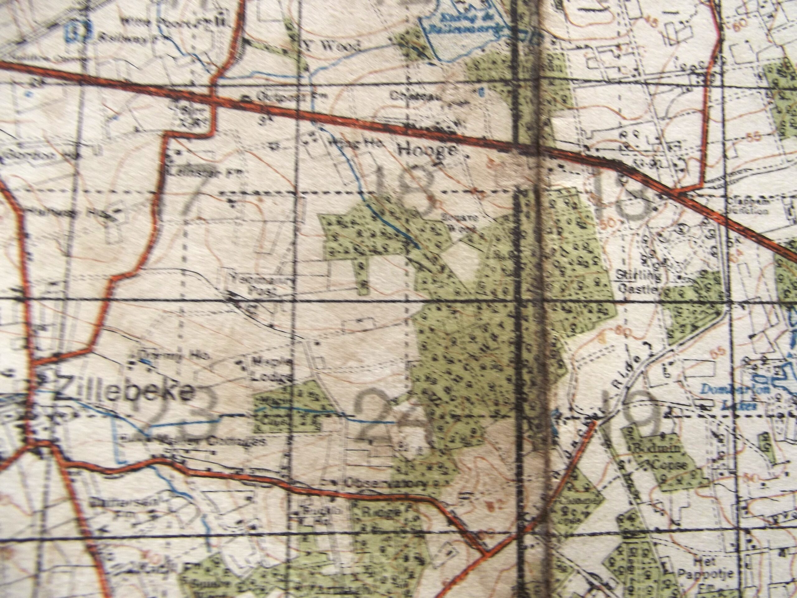
WW1 CLOTH BACKED MAP OF BELGIUM & FRANCE SHEET 28 EDITION 3 DATED 1916
£35.00
Description
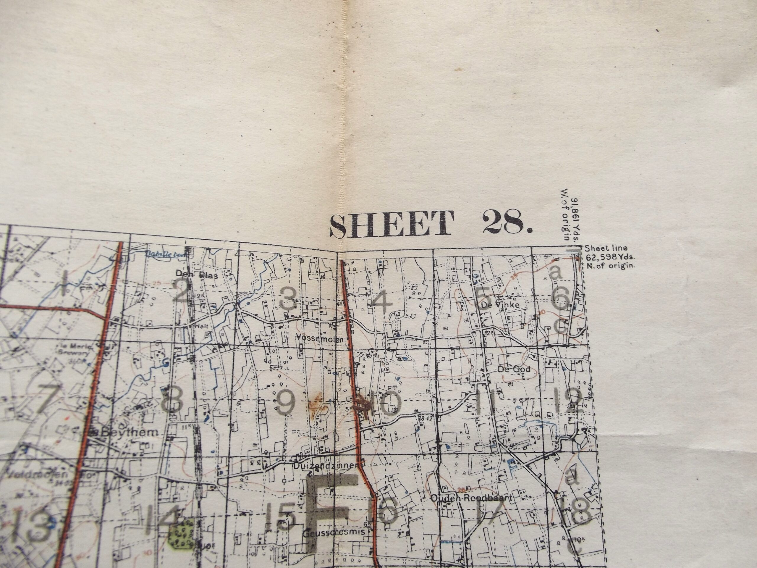
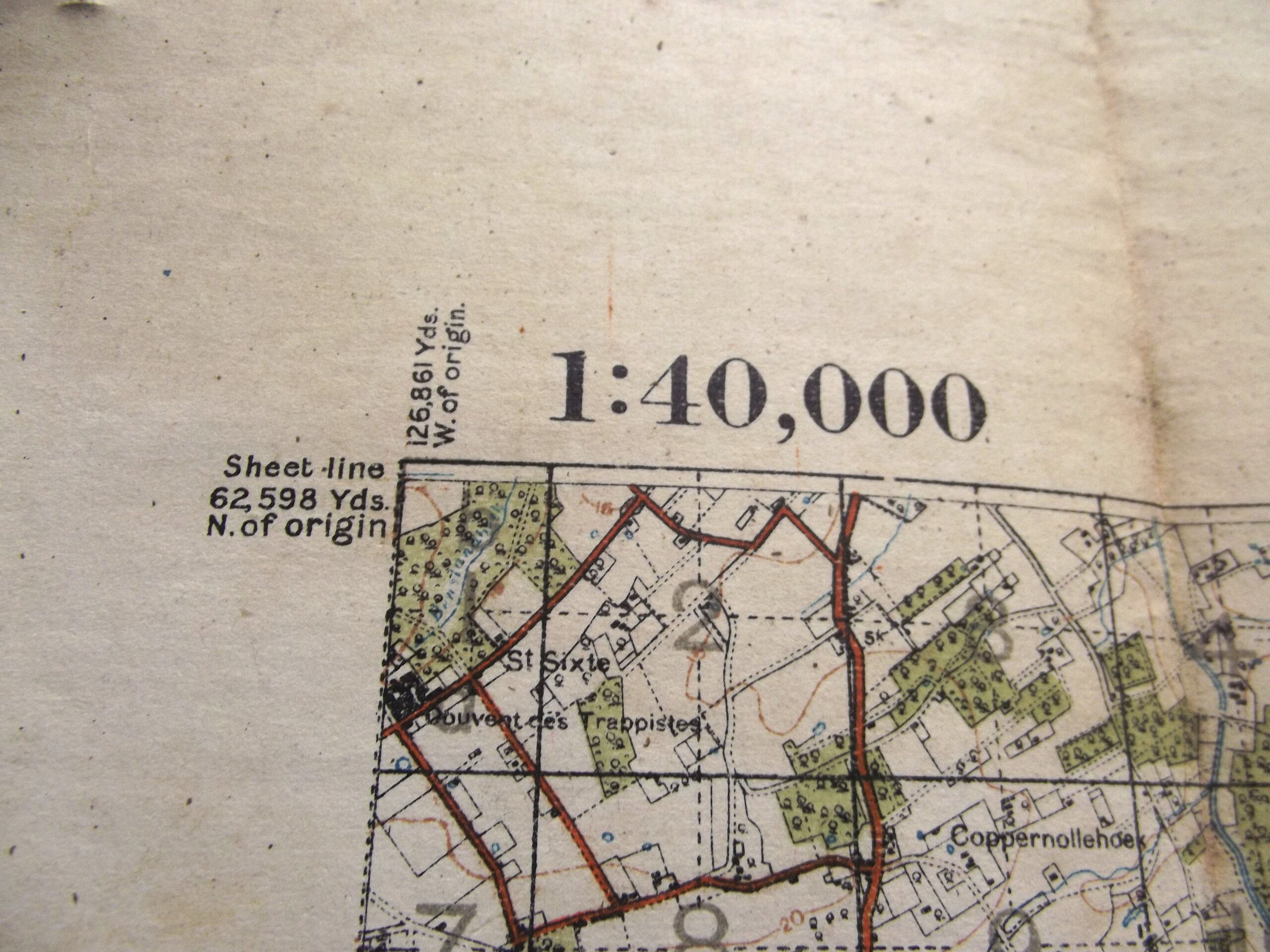
WW1 Cloth backed map of Belgium and France sheet 28 3rd edition in good used condition. The map is dated 1916 with the scale of the map is 1 :40,000.
The map shows Ypres and Passchendaele, Zonnebeke, Hooge, and Messines. All famous names from Flanders.
Please see the photographs for further details.
Additional information
| Weight | 0.2 kg |
|---|
Related products
-

Field Equipment, Military Aviation, WW1 British & Allies WW1 OFFICERS BINOCULARS & AIR MINISTRY LEATHER CASE DATED 1917
WW2 Air ministry binoculars and leather case in good used condition. The leather case is complete with its shoulder strap it is marked A M with the kings crown above it is serial number 6E/293, the leather is supple with a good colour to the leather finish with just one small area where the stitching has come away this has been photographed. The binoculars are -

Field Equipment, WW1 British & Allies WW1 OFFICERS WEBLEY MK 6 .455 LEATHER HOLSTER DATED 1918
WW1 Officers leather Webley mk6 .455 leather holster in good used condition. The holster is maker marked for Martins of Birmingham with the date of 1918 showing, the holster is a private purchase item with no war department stamp showing. The holster has supple leather with a good aged tone to the leather finish which does show signs of use and age which can be -

Field Equipment, WW1 British & Allies WW1 BRITISH ARMY WIRECUTTERS DATED 1917
WW1 British army wirecutters in good used condition. The wirecutters are war department arrow marked on both sides and also maker marked on both sides for Chater Lea Ltd with the date 1917 clear to see, the wirecutters show age related colour with a little play in the handles but still fairly tight considering their age. Please see the photographs for further details, free postage -

Field Equipment, WW1 British & Allies WW1 BRITISH ARMY WEBBING LEWIS GUN MAGAZINE POUCH DATED 1918
WW1 British army webbing Lewis gun magazine pouch in good used condition. The webbing pouch shows signs of use but is complete with no tears or rips it is maker marked for M.W & S Ltd Martin Wright & Sons Ltd with the war department arrow and a date of 1918, the markings are difficult to photograph as they are a little faint and can